Home & Garden
Work Week Weather: Hot and Humid Early in the Week, Cooler Later
Despite some showers and thunderstorms to start off, this should be another week with below-normal rainfall in Pelham.

Written by LANNING TALIAFERRO (Patch Staff)
The summer-like feel of our past weekend will continue into mid-week, and then temperatures will moderate for a few days in Westchester County.
Moderate may be the wrong word for Wednesday night, when temperatures are predicted to drop into the mid- to low-40s.
Find out what's happening in Pelhamfor free with the latest updates from Patch.
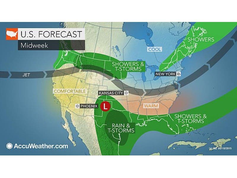
It will be warm and humid on Monday into Tuesday—very similar to July, according to AccuWeather.com. Highs will be well into the 80s. Expect some minimal showers and thunderstorms connected to the tropical storm lashing South Carolina.
“While areas close to the track of Ana and just ahead of the front coming could have enhanced thunderstorms and rainfall, immediately west of Ana there may be a zone where it rains very little and stays relatively sunny,” said AccuWeather.com Senior Meteorologist Dave Dombek.
Find out what's happening in Pelhamfor free with the latest updates from Patch.
There will also be long breaks of rain-free weather in between the downpours.
“We will see a cold front push through the Hudson Valley on Tuesday… but even that appears to have minimal rainfall associated with it,” said Bill Potter of Hudson Valley Weather. “In fact… it’s entirely possible that some parts of the area get into the middle of next week without seeing much (if any) measurable rain.”
Here’s the forecast from the National Weather Service for southern Westchester:
Tonight: Patchy fog after midnight. Otherwise, mostly cloudy, with lows in the low 60s. South wind 6 to 11 mph becoming light after midnight.
Tuesday: A chance of showers and thunderstorms, mainly after 1pm. Patchy fog before 9am. Otherwise, mostly cloudy, with highs approaching the mid-80s. West wind 6 to 11 mph increasing to 12 to 17 mph in the afternoon. Chance of precipitation is 30%.
Tuesday Night: A slight chance of showers and thunderstorms before 11pm. Partly cloudy, with lows in the mid- to low-50s. Northwest wind around 14 mph. Chance of precipitation is 20%.
Wednesday: Mostly sunny, with highs in the mid-60s. Breezy, with a northwest wind 17 to 24 mph, with gusts as high as 36 mph.
Wednesday Night: Mostly clear, with lows in the low-40s.
Thursday: Sunny, with a highs again in the mid-60s.
Thursday Night: Mostly clear, with lows again in the 40s.
Friday: Mostly sunny, with a high near 70.
Friday Night: A chance of showers. Mostly cloudy, with lows in the low-50s. Chance of precipitation is 30%.
Patch Editor Alfred Branch contributed to this report.
Image via AccuWeather.com
Subscribe to a free email newsletter and news alerts:
BEDFORD-KATONAH • BRONXVILLE-EASTCHESTER-TUCKAHOE • CHAPPAQUA-MOUNT KISCO • HARRISON • LARCHMONT-MAMARONECK • NANUET • NEW CITY • NEW ROCHELLE • NYACK-PIERMONT • OSSINING-CROTON • PEARL RIVER • PEEKSKILL-CORTLANDT • PELHAM • PORT CHESTER • PLEASANTVILLE-BRIARCLIFF • RIVERTOWNS • RYE • SCARSDALE • SOUTHEAST-BREWSTER • TARRYTOWN-SLEEPY HOLLOW • WHITE PLAINS • YORKTOWN-SOMERS
Get more local news delivered straight to your inbox. Sign up for free Patch newsletters and alerts.