Community Corner
'Significant Wintry Precipitation,' Flooding Possible Monday, Tuesday
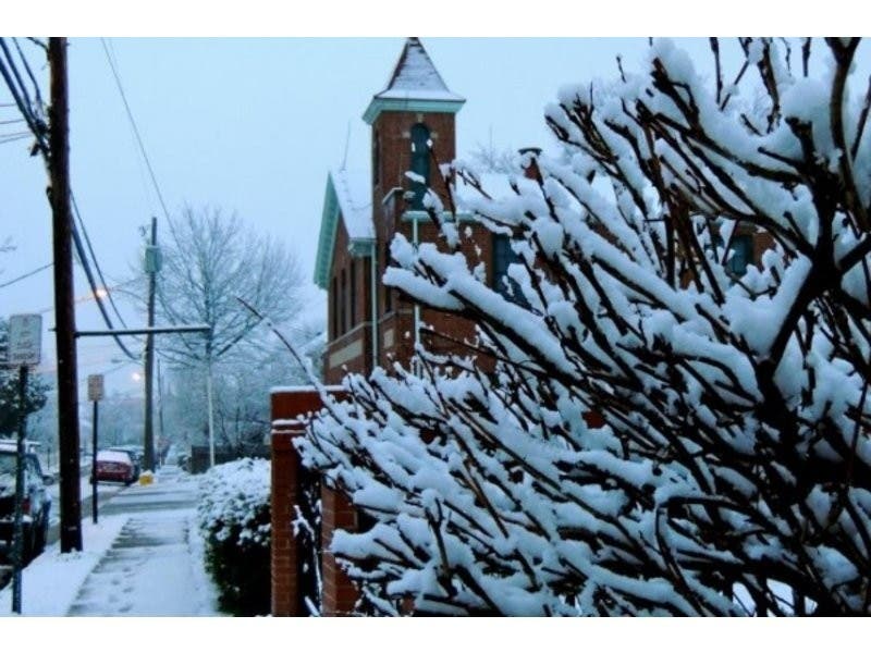
But first, the coldest air of the season with wind chills of 20 below zero. Basically don't leave your house till spring.

Dangerously cold temperatures, snow, rain, flooding.
It’s going to be a rough few days on Long Island weather-wise.
First up, the coldest air of the season. A wind chill advisory went into effect at 1 p.m. Saturday and lasts until noon Sunday. Wind chill temperatures dropped below zero Saturday afternoon and will plunge all the way to 20 below by early Sunday morning.
Find out what's happening in Port Washingtonfor free with the latest updates from Patch.
The actual temperature will be in the single digits Saturday night and is expected to hit zero Sunday morning. Northwest winds of 20-30 mph with gusts up to 45 mph will make it feel much colder.
“This will result in frostbite and lead to hypothermia if precautions are not taken,” the National Weather Service says. ”Outdoor exposure should be limited. If you are heading outdoors, dress in layers and keep your hands and head covered to protect against frostbite.”
Find out what's happening in Port Washingtonfor free with the latest updates from Patch.
Strong winds will have the potential to down tree limbs and branches and cause isolated power outages.
After a dangerously cold start to Sunday, diminishing winds and a moderating airmass should allow temperatures to rise into the teens, with wind chills finally climbing back above zero in the mid-to-late afternoon, the NWS says.
Early Week Winter Storm
A developing low pressure system across the Southeast will move up the coast Monday night into Tuesday, according to a hazardous weather outlook issued for Long Island.
“This system may produce significant wintry precipitation Monday night into early Tuesday morning,” the NWS says. “Precipitation should change to heavy rain on Tuesday...which could cause flooding. There is a large degree of uncertainty with the track and intensity of the low pressure so stay tuned for further updates through the weekend.”
At the moment, the NWS snowfall total map is projecting 1-2 inches of snow for most of Long Island. Less than an inch is currently expected on the East End.
Even a few hours of snow or mixed precipitation will have no trouble sticking to sidewalks and roads due to the cold from this weekend, according to AccuWeather.
“Once precipitation changes over to rain, the ground is likely to remain at or below freezing for a time due to the recent cold from Valentine’s Day weekend,” AccuWeather meteorologist Brett Rathbun said. “This will cause the rain to continue to freeze on untreated roadways.”
Get more local news delivered straight to your inbox. Sign up for free Patch newsletters and alerts.