Weather
Several Snow Chances In The Long Island Forecast
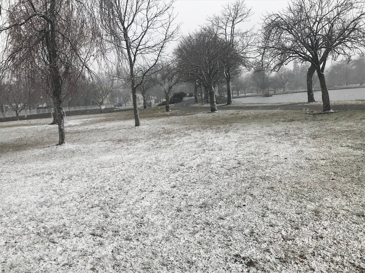
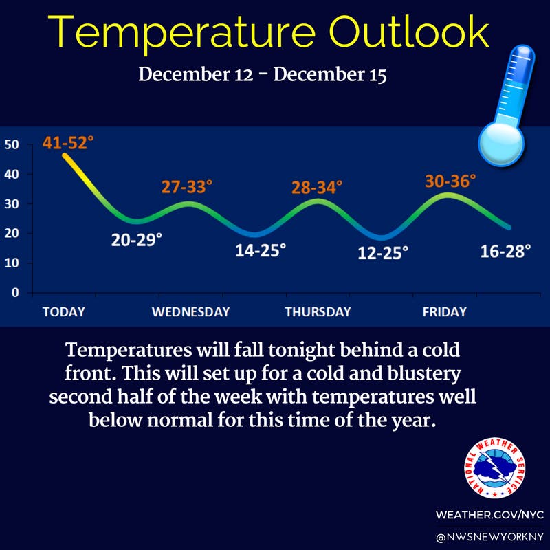
Temperatures are about to plummet and there's a chance of snow on five of the next six days.

The official start of winter is still nine days away, but for all intents and purposes, it arrives Wednesday on Long Island.
Temperatures are set to plummet and there's a chance of snow on five of the next six days, according to the National Weather Service.
The high on Wednesday is expected to be 32 degrees, 20 degrees colder than the likely high Tuesday.
Find out what's happening in Sachemfor free with the latest updates from Patch.
As far as those snow chances, the NWS isn't predicting much of any accumulation at the moment, at least for the next few days. There is a 10 percent chance that the island sees 2 inches of snow by Friday morning, but it's much more likely that there will be less than an inch of total snowfall.
Forecasters are watching a system that could impact the area Friday night into early Saturday.
Find out what's happening in Sachemfor free with the latest updates from Patch.
"How much snow we get from this system depends on how close the low tracks near the coast," the NWS said in a forecast discussion Tuesday morning. "The latest model runs are not in agreement with timing or position."
The full forecast:
Tuesday- Rain likely before 11am, then scattered showers after 11am. Cloudy, with a temperature falling to around 45 by 5pm. South wind around 15 mph becoming west in the afternoon. Chance of precipitation is 60%.
Tuesday Night- A slight chance of rain showers before 9pm, then a slight chance of rain and snow showers between 9pm and midnight, then a slight chance of snow showers after midnight. Mostly cloudy, with a low around 26. Wind chill values between 15 and 25. West wind 14 to 18 mph, with gusts as high as 29 mph. Chance of precipitation is 20%.
Wednesday- A 20 percent chance of snow showers before noon. Partly sunny, with a high near 32. Wind chill values between 10 and 20. Breezy, with a west wind 20 to 25 mph, with gusts as high as 38 mph.
Wednesday Night- Partly cloudy, with a low around 22. Wind chill values between 10 and 20. Breezy, with a west wind 16 to 21 mph, with gusts as high as 32 mph.
Thursday- A 20 percent chance of light snow. Partly sunny, with a high near 34. West wind 8 to 10 mph.
Thursday Night- Partly cloudy, with a low around 21.
Friday- Mostly cloudy, with a high near 36.
Friday Night- A 30 percent chance of snow before midnight. Mostly cloudy, with a low around 25.
Saturday- Partly sunny, with a high near 39.
Saturday Night- Partly cloudy, with a low around 29.
Sunday- Partly sunny, with a high near 46.
Sunday Night- A chance of rain and snow. Mostly cloudy, with a low around 34. Chance of precipitation is 40%.
Monday- A chance of rain and snow. Partly sunny, with a high near 44. Chance of precipitation is 30%.
Get more local news delivered straight to your inbox. Sign up for free Patch newsletters and alerts.