Community Corner
Smithtown, A History: Our River
The Nissequogue River played a central role in our town's past.
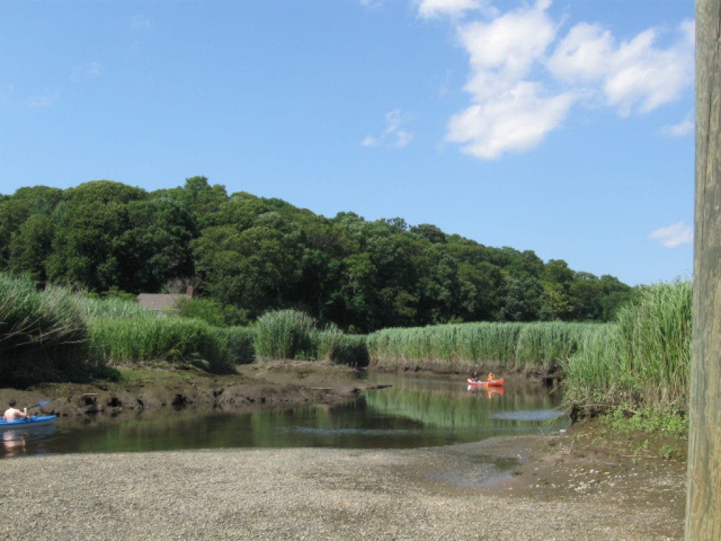

In modern times, the Nissequogue River provides local residents with a relaxing canoe or kayak ride or a great day of fishing. However, throughout the centuries, this fresh water estuary played more than a recreational role in our town.
According to Nissequogue: A Journey by Thomas Allen Stock published in 1986, the Nissequogue River consists of two main branches that start near the southern boundaries of Smithtown in Hauppauge. The Northeast branch runs through the Village of the Branch, while the Southwest branch starts in the county and state office complex.
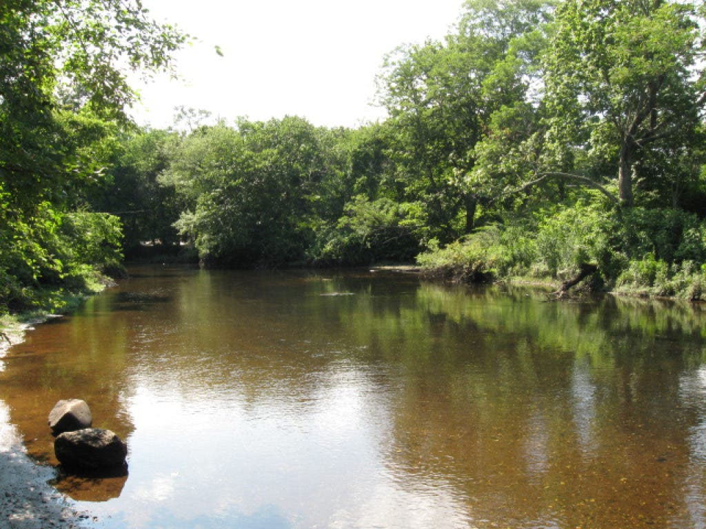
Created by glaciers over twenty thousand years ago, the river travels northbound 8.3 miles through the township and then empties into the Long Island Sound at Smithtown Bay.
Find out what's happening in Smithtownfor free with the latest updates from Patch.
According to Smithtown historian Brad Harris, the Nissequogue was once a lifeline for those who lived along the river. It provided Native Americans and early settlers with fish such as brook trout, striped bass, bluefish,flounders, and even eel and sturgeon. Oysters, clams and mussels could also be found along the banks.
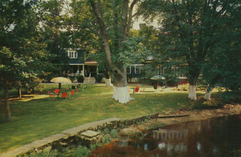
Later in the mid 1900s the river provided food to residents once again; this time in the form of dinner specials at Located where Paul T. Given Park is today, the
restaurant would serve whatever was caught in the river that day as their daily special, according to Harris.
Find out what's happening in Smithtownfor free with the latest updates from Patch.
Along the Nissequogue is also where mills began appearing in our area during the 1700s. The old grist mill at the still exists today as well as a former grist mill at . Both were surrounded by fulling and saw mills creating mill complexes in our area. At Caleb Smith State Park Preserve, however only the foundation remains today.
The river once served as a water route where sloops and scows would travel during high tides to Blydenburgh’s Landing, according to This is the site of Landing Avenue Town Park, and a spot nearby had a pocket of water 16 feet deep even during low tide. The area was called Ship’s Hole, and it provided a place for the ships to wait until high tide returned.
Despite all this activity, the river still provided a great spot for fishing in the past. Webster Pond near Caleb Smith State Park Preserve is said to be named after United States Senator Daniel Webster.
In an article called “Where to Fish on Long Island” in the March 29, 1896 article of The New York Times, it was written of the Nissequogue, “The river runs through a picturesque vale, and the angler will not be bothered by gamekeepers with loaded shotguns.”
Today, despite the modern activity that surrounds it, the Nissequogue River still provides visitors a quiet and picturesque experience and an air of history.