Weather
Chances of Thunderstorms: Work Week Weather for Brewster and Southeast
The NWS calls for possible storms twice -- we'll tell you when.

Today is the first official day of summer, and the forecast overall is a sunny one -- but there is a chance for thunderstorms and some unsettled weather twice this week.
The first chance is Monday night into early Tuesday morning where we could see some thunderstorms and showers; then the sun is expected to return by mid morning Tuesday and keep shining for most of the week.
Find out what's happening in Southeast-Brewsterfor free with the latest updates from Patch.
There is also a chance for showers and thunderstorms again on Thursday but skies overall are expected to be partly sunny that day.
In between the two chances for some unsettled weather, the word sun dominates the first week of summer forecast (and the upcoming weekend forecast for now looks great).
Find out what's happening in Southeast-Brewsterfor free with the latest updates from Patch.
Here is the work week forecast for Putnam County via the National Weather Service:
Today
Sunny. Highs in the mid 80s. South winds 5 to 10 mph.
Tonight
Partly cloudy with a slight chance of showers and thunderstorms in the evening...then mostly cloudy with a chance of showers and thunderstorms after midnight. Lows in the lower 60s. South winds 5 to 10 mph. Chance of rain 30 percent.
Tuesday
Partly sunny. A chance of showers and thunderstorms in the morning. Highs in the lower 80s. West winds 5 to 10 mph. Chance of rain 30 percent.
Tuesday Night
Partly cloudy. Lows in the mid 50s. West winds around 5 mph.
Wednesday
Sunny. Highs around 80. West winds 10 to 15 mph.
Wednesday Night
Partly cloudy. Lows in the mid 50s.
Thursday
Partly sunny with a chance of showers and thunderstorms. Highs in the mid 70s. Chance of rain 40 percent.
Thursday Night
Mostly cloudy. A chance of showers and thunderstorms in the evening. Lows in the mid 50s. Chance of rain 40 percent.
Friday
Mostly sunny. Highs around 80.
Friday Night
Partly cloudy. Lows in the upper 50s.
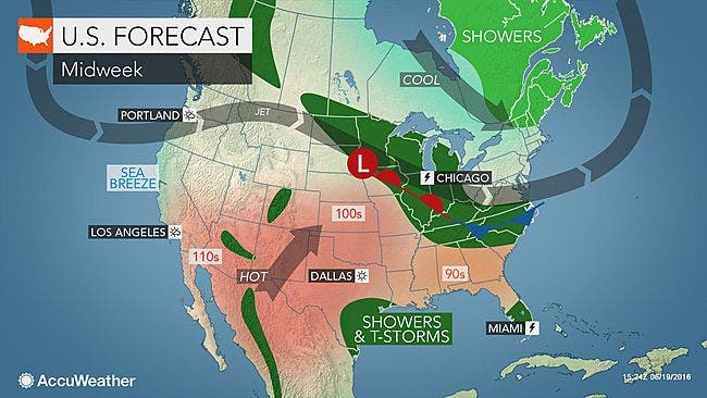
IMAGE: AccuWeather.com
Get more local news delivered straight to your inbox. Sign up for free Patch newsletters and alerts.