Weather
Hazardous Weather Outlook Issued for Southeast
After a one day break, we're back at it Tuesday and we give you the latest info on when the storms may occur today around Brewster.

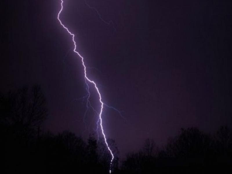
A “Hazardous Weather Outlook” has been issued for Orange, Putnam, Rockland and Westchester counties Tuesday for the chance of some strong to severe thunderstorms, especially this afternoon.
These storms may be capable of damaging wind gusts and torrential rains, says the National Weather Service.
Bill Potter of Hudson Valley Weather reports that between Aug. 8 and 12, one to two inches of rain fell across the valley.
Find out what's happening in Southeast-Brewsterfor free with the latest updates from Patch.
"For Tuesday, expect a mix of clouds with some sunshine… elevated humidity levels (dew points 65° to 70°), and highs in the mid to upper 80s," he said. "Scattered showers and T-Storms are possible at any point… but the risk is highest between 3pm and 9pm later today. With that broken line of T-Storms… a couple severe storms are possible."
Check back with Patch later today — we'll be watching the NWS in case severe storms do develop nearby.
Find out what's happening in Southeast-Brewsterfor free with the latest updates from Patch.
IMAGE via Shutterstock
Get more local news delivered straight to your inbox. Sign up for free Patch newsletters and alerts.