Weather
Rain To Start Hazardous Weekend: Hudson Valley Forecast
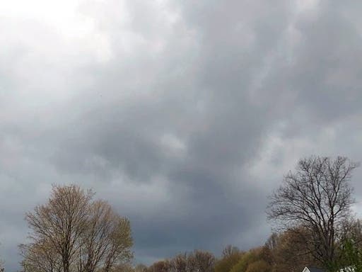
A hazardous outlook for the mid-Hudson warns of gusty winds and possible thunderstorms Saturday, and utility companies have begun to prepare

HUDSON VALLEY, NY — Pull out the ponchos for outdoor holiday activities on Saturday, as rain showers are expected across the region; then make sure your outdoor decorations are fastened down.
And if you're in the mid-Hudson, know that the National Weather Service already issued a hazardous outlook for Saturday afternoon and evening.
A strong cold front is expected to push eastward across the region late Saturday afternoon through Saturday evening. Strong and gusty winds will be possible. Wind headlines will likely be needed. Isolated thunderstorms are also possible.
Orange & Rockland and Central Hudson have announced preparations to deploy emergency response teams to repair expected damage and service outages that could result from isolated thunderstorms and high winds with gusts up to 50 mph.
Find out what's happening in Southeast-Brewsterfor free with the latest updates from Patch.
The day should start out nice and mild, with temps into the 60s in Westchester, Putnam and Rockland counties. Then things will change.
The folks at Hudson Valley Weather said the front should move through between 6 p.m. and midnight.
Find out what's happening in Southeast-Brewsterfor free with the latest updates from Patch.
"This wind event seems similar to the previous two in many ways … so some isolated power outages are a concern," said Alex Marra and Bill Potter. "Winds gusting 25 mph to 40 mph out of the south/southwest, will shift to 25 to 45 mph out of the west/northwest."
By Sunday, it'll be a lot colder.
Here's the NWS look at the weekend, based on northern Westchester:
- Friday night - Partly cloudy in the evening, then mostly cloudy with a chance of showers after midnight. Lows in the mid 30s. Southeast winds around 5 mph. Chance of rain 40 percent.
- Saturday - Showers likely. Not as cool with highs in the lower 60s. South winds 5 to 10 mph, increasing to 15 to 20 mph with gusts up to 35 mph in the afternoon. Chance of rain 70 percent.
- Saturday Night - Showers, mainly in the evening. Breezy with lows in the upper 30s. Southwest winds 20 to 25 mph, becoming west after midnight. Gusts up to 40 mph. Chance of rain 90 percent.
- Sunday - Sunny. A chance of showers in the morning. Cooler with highs in the mid 40s. Northwest winds 10 to 15 mph. Chance of rain 30 percent.
- Sunday Night - Mostly clear. Lows in the lower 30s.
Get more local news delivered straight to your inbox. Sign up for free Patch newsletters and alerts.


