Weather
Rounds Of Snow In Brewster's Forecast
Just when the snow is mostly melted in parking lots around Southeast...here we go again.


BREWSTER, NY — Temperatures approached 50 degrees Sunday in the Hudson Valley, but Mother Nature is fickle and she plans on reminding everyone that it's still winter for another seven weeks. There are multiple snow chances in the work week forecast.
Let's start with what we know: Monday will start out dry, but a wintry mix of snow and rain is possible in the afternoon before the precipitation becomes all snow by the evening. Just what will transpire — that's more complicated.
"Getting it cold enough to snow is one issue," said Bill Potter of Hudson Valley Weather. "The other issue, is getting moisture into the Hudson Valley… and this may be the hardest part."
Find out what's happening in Southeast-Brewsterfor free with the latest updates from Patch.
Though most meteorologists think there will be no accumulation, the "aggressive" prognostication sees a possibility of up to two inches of snow before it stops Tuesday.
Wednesday and Thursday look dry, but forecasters are predicting snow on Groundhog Day Friday.
Find out what's happening in Southeast-Brewsterfor free with the latest updates from Patch.
And as a start to the following work week, there could be snow on Sunday.
Here's this work week forecast from the NWS for Putnam County:
- Today-Partly sunny late this morning, then becoming mostly cloudy. Highs in the upper 30s. Northeast winds 5 to 10 mph with gusts up to 20 mph.
- Tonight-Cloudy. A slight chance of snow in the evening. Lows in the mid 20s. North winds 5 to 10 mph with gusts up to 20 mph. Chance of snow 20 percent.
- Tuesday-Cloudy with a 20 percent chance of snow showers. Highs in the lower 30s. North winds 5 to 10 mph with gusts up to 20 mph.
- Tuesday Night-Mostly cloudy in the evening, then clearing. Lows around 13. Northwest winds 5 to 10 mph with gusts up to 20 mph.
- Wednesday-Mostly sunny. Highs around 30. Northwest winds around 5 mph, becoming southwest in the afternoon.
- Wednesday Night-Mostly cloudy. Lows in the mid 20s.
- Thursday-Cloudy. Highs in the lower 40s.
- Thursday Night-Cloudy with a chance of snow. A chance of rain in the evening, then a chance of freezing rain after midnight. Lows in the mid 20s. Chance of precipitation 50 percent.
- Friday-Mostly cloudy with a chance of snow in the morning, then partly sunny in the afternoon. Highs in the lower 30s. Chance of snow 30 percent.
- Friday Night-Partly cloudy. Lows around 10 above. Wind chill values as low as zero.
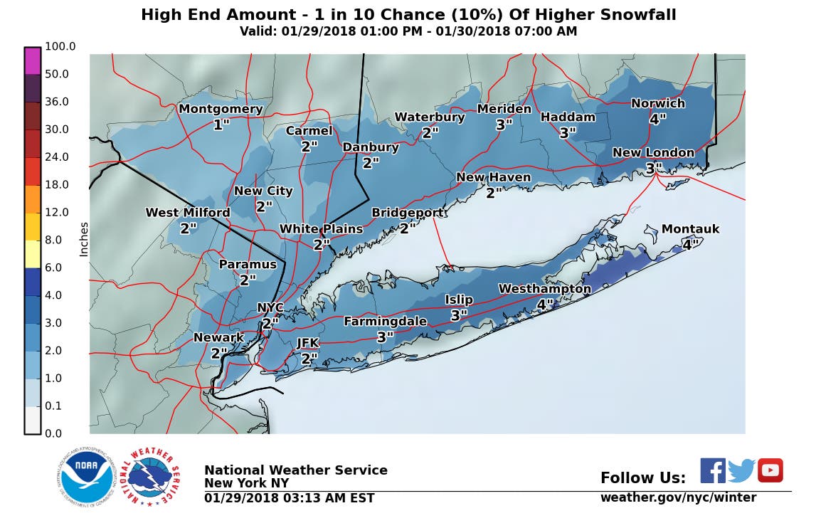
Map: National Weather Service
Get more local news delivered straight to your inbox. Sign up for free Patch newsletters and alerts.


