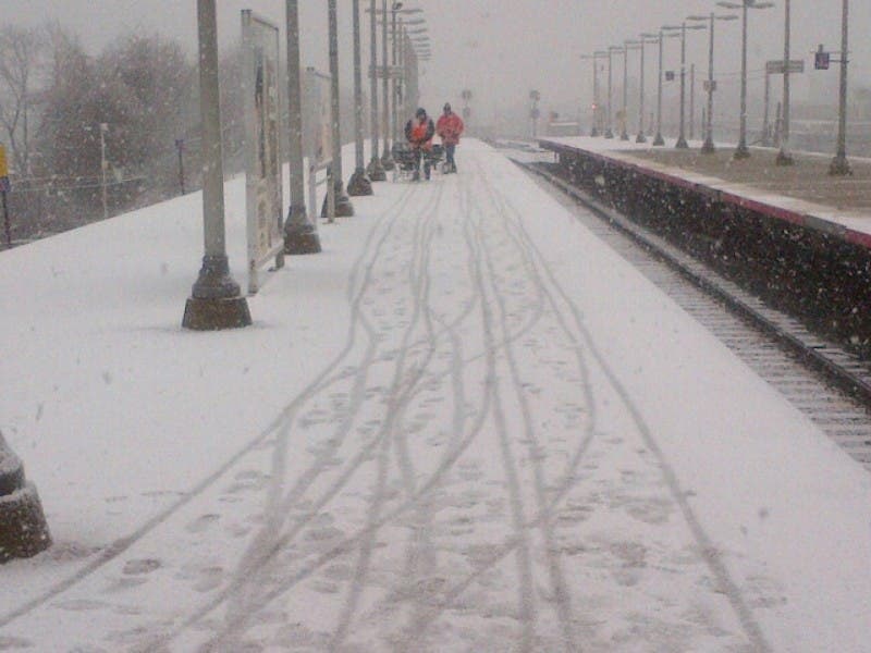
Rain Wednesday night through Thursday morning will likely wash away any remaining snow on Long Island from January’s blizzard, but more snow is likely on the way Thursday night.
The National Weather Service is now predicting 1-3 inches of snow will fall across the island.
It may be a slippery ride to work on Friday morning as the snow is expected to begin Thursday night and continue through the morning.
Find out what's happening in West Islipfor free with the latest updates from Patch.
Here’s the full forecast:
Tonight- Rain. The rain could be heavy at times. Patchy fog. Low around 49. Breezy, with a south wind 15 to 24 mph. Chance of precipitation is 100%. New precipitation amounts between three quarters and one inch possible.
Find out what's happening in West Islipfor free with the latest updates from Patch.
Thursday- A chance of rain before 7am, then a slight chance of rain after 3pm. Mostly cloudy, with a high near 54. Northwest wind around 9 mph. Chance of precipitation is 30%.
Thursday Night- A chance of rain before midnight, then rain and snow likely between midnight and 3am, then snow likely after 3am. Mostly cloudy, with a low around 32. Wind chill values between 25 and 30. Northwest wind 7 to 13 mph becoming north after midnight. Chance of precipitation is 70%. New snow accumulation of 1 to 2 inches possible.
Friday- Snow likely before 1pm. Cloudy through mid morning, then gradual clearing, with a high near 42. Northwest wind 11 to 15 mph. Chance of precipitation is 60%. New snow accumulation of less than a half inch possible.
Friday Night- Mostly clear, with a low around 27. Northwest wind 5 to 10 mph becoming light west after midnight.
Saturday- Mostly sunny, with a high near 45.
Get more local news delivered straight to your inbox. Sign up for free Patch newsletters and alerts.