Weather
Arctic Air To Hover Over Huntersville Through The Weekend
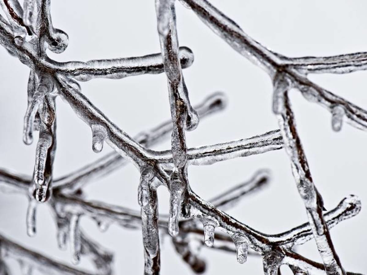
It's going to be a frigid week in the Charlotte-metro region, thanks to an arctic air mass that's expected to hover through the weekend.

HUNTERSVILLE, NC -- Huntersville woke to frigid temperatures Tuesday morning, with forecasters warning that the cold wave is expected to linger in the Queen City metro region through the weekend.
“A cold arctic air mass has settled in across the region, yielding a cold wave pattern that will linger throughout the week,” the National Weather Service said Tuesday morning. Temperatures are expected to fall into the single digits in the North Carolina mountains at times overnight, with lows ranging from the teens to the 20s at night in the foothills and piedmont regions, forecasters said.
The high on Tuesday is expected to reach about 32 degrees in the Charlotte-metro area, and the low will dip to around 16 degrees, according to forecasters. The high temperatures aren't expected to leave the 30s all week.
Find out what's happening in Huntersvillefor free with the latest updates from Patch.
The cold snap could lead to power outages due to increases in demand for electricity, NWS warned.
The National Weather Service recommends these tips during the cold wave:
Find out what's happening in Huntersvillefor free with the latest updates from Patch.
- If you go outside, wear several layers of loose fitting, lightweight, warm clothing rather than one layer of heavy clothing.
- Mittens are warmer than gloves. Wear a hat and cover your mouth with a scarf.
- It is imperative that parents make sure children returning to school this week are prepared for the prolonged cold, especially if they will be outside waiting at busstops in the mornings.
- If driving, keep your gas tank near full to avoid ice in the tank and fuel lines. Check your antifreeze and windshield washer fluid levels.
- Be sure to carry a fully chargedcell phone.
- While at home, consider allowing indoor plumbing fixtures to drip to permit water to trickle through pipes and inhibit freezing.
- Use caution with space heaters in order to avoid fire or injury.
- If emergency generators will be used, they must be situated outdoors in well-ventilated areas to prevent carbon monoxide poisoning.
- Also, remember to check in on family, friends, and elderly neighbors who might be susceptible to the cold.
- Do not forget about your pets and livestock. Make sure they have a source of water that will not freeze and a warm place to take shelter from the wind and cold.
- Do not attempt to walk on frozen ponds, lakes, or streams, as the ice will not be thick enough to support the weight - even of a child.
Here is your forecast for the week ahead:
Today (Jan. 2)
Sunny, with a high near 32. North northeast wind 3 to 7 mph.
Tonight
Increasing clouds, with a low around 16. Calm wind.
Wednesday (Jan. 3)
Mostly cloudy, with a high near 36. Light north northeast wind.
Wednesday Night
Mostly cloudy, then gradually becoming clear, with a low around 21. Northwest wind 3 to 6 mph.
Thursday (Jan. 4)
Sunny, with a high near 34. Northwest wind 6 to 10 mph.
Thursday Night
Mostly clear, with a low around 15.
Friday (Jan. 5)
Sunny, with a high near 32.
Friday Night
Mostly clear, with a low around 14.
Saturday (Jan. 6)
Sunny, with a high near 32.
Saturday Night
Mostly clear, with a low around 16.
Sunday (Jan. 7)
Mostly sunny, with a high near 39.
Sunday Night
Mostly cloudy, with a low around 29.
Photo via Pixabay
Get more local news delivered straight to your inbox. Sign up for free Patch newsletters and alerts.