Weather
Flood Watch For Lake Norman: Here’s When Rain Will End
A flood watch is in effect for the piedmont of North Carolina, including Mecklenburg County, through Thursday evening.

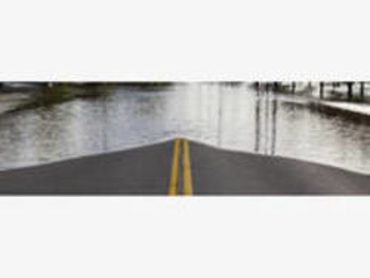
HUNTERSVILLE, NC — A flood watch is in effect for the piedmont of North Carolina, including the Lake Norman region, through Thursday evening with up to 3 inches of rain expected to fall.
A flood watch means that there is potential for flooding and anyone in an area prone to flooding should be prepared to take action, the National Weather Service said.
The bulk of the rain is expected Wednesday evening, NWS said in a hazardous weather outlook bulletin. “Very wet ground conditions, along with currently high stream levels, will heighten the risk of flooding across the region through the period,” it said. “While some of the precipitation may fall as an icy mix, across portions of western North Carolina, especially tonight, enough rain could fall to produce some flooding there as well.”
Find out what's happening in Huntersvillefor free with the latest updates from Patch.
While weather conditions will remain grey and soggy over the next two days, the sun will come back out Friday, with sunny skies on tap all through the weekend, NWS said. Highs over the weekend will be in the mid to high 50s, it said.
With ongoing storms & potential flooding forecast across NC this week, it is important to know what to do if your area is under a flood watch or warning. Make a plan with your family so everyone knows what to do. You can monitor rivers in your area at https://t.co/27YownooTc. pic.twitter.com/EBlXc73dGf
— NC Emergency Managem (@NCEmergency) November 13, 2018
Here’s the National Weather Service’s forecast through the weekend:
Find out what's happening in Huntersvillefor free with the latest updates from Patch.
Today (Nov. 14)
A chance of rain with isolated sprinkles before 10am, then rain likely, mainly after 3pm. Cloudy, with a high near 45. Northeast wind around 11 mph. Chance of precipitation is 60%. New precipitation amounts between a tenth and quarter of an inch possible.
Tonight
Rain. Patchy fog. Low around 35. Northeast wind 13 to 16 mph, with gusts as high as 21 mph. Chance of precipitation is 100%. New precipitation amounts between 1 and 2 inches possible.
Thursday (Nov. 15)
Rain, mainly before 1pm. Patchy fog before 1pm. High near 39. North wind 6 to 14 mph, with gusts as high as 21 mph. Chance of precipitation is 100%. New precipitation amounts between a half and three quarters of an inch possible.
Thursday Night
A 20 percent chance of rain before 10pm. Mostly cloudy, then gradually becoming mostly clear, with a low around 34. West wind 6 to 8 mph.
Friday (Nov. 16)
Sunny, with a high near 54. West northwest wind 5 to 7 mph.
Friday Night
Mostly clear, with a low around 35.
Saturday (Nov. 17)
Sunny, with a high near 59.
Saturday Night
Mostly clear, with a low around 39.
Sunday (Nov. 18)
Mostly sunny, with a high near 59.
Sunday Night
Partly cloudy, with a low around 40.
Monday (Nov. 19)
Mostly sunny, with a high near 58.
(For more news like this, find your local Patch here. If you have an iPhone, click here to get the free Patch iPhone app; download the free Patch Android app here.)
Photo via Shutterstock
Get more local news delivered straight to your inbox. Sign up for free Patch newsletters and alerts.