Weather
Huntersville Weather Forecast: When Will The Rain Stop?
The Charlotte metro region woke up to a rainy Monday morning. Find out what weather for the rest of the work week will look like.

Huntersville and the Lake Norman region kicked off the work week with a grey, soggy morning. If rainy days and Mondays get you down, we’ve got some good news for you. The skies are set to clear by Wednesday, with plenty of sun and cool autumn temperatures on tap through the weekend.
First, however, we’ll need to get through Monday. A cold front moving through the region is pushing a broken line of thunderstorms into the piedmont of North Carolina, according to the National Weather Service. “Some of these thunderstorms will be severe with isolated tornadoes, damaging winds, and large hail being the primary threats,” NWS said. “Heavy rainfall could also lead to isolated flash flooding, especially in urban areas such as [Charlotte] metro.”
(Sign up for our free daily newsletters and Breaking News Alerts for the Huntersville Patch. iPhone users can download the Patch app in the App Store. Plus, like Huntersville Patch on Facebook.)
Find out what's happening in Huntersvillefor free with the latest updates from Patch.
Monday’s high of nearly 71 won’t be felt again until the weekend, according to NWS. This week, highs will stay mostly in the 60s and lows in the 40s. A chance of rain creeps back into the forecast late Saturday and into Sunday.
Here is your forecast for the week ahead in Charlotte and Lake Norman regions:
Find out what's happening in Huntersvillefor free with the latest updates from Patch.
Today (Oct. 23)
Showers likely, then showers and possibly a thunderstorm after 10am. Some of the storms could produce heavy rainfall. Patchy fog before noon, then areas of fog after 5pm. High near 71. South southeast wind 11 to 14 mph, with gusts as high as 23 mph. Chance of precipitation is 90%. New rainfall amounts between 1 and 2 inches possible.
Tonight
Showers and possibly a thunderstorm before 1am, then a slight chance of showers between 1am and 3am. Some of the storms could produce heavy rainfall. Patchy fog before 9pm. Low around 54. Southwest wind 6 to 13 mph, with gusts as high as 21 mph. Chance of precipitation is 80%. New precipitation amounts between a quarter and half of an inch possible.
Tuesday (Oct. 24)
Patchy fog before 7am. Otherwise, mostly sunny, with a high near 70. Southwest wind 5 to 9 mph.
Tuesday Night
Partly cloudy, with a low around 44. Northwest wind 3 to 8 mph.
Wednesday (Oct. 25)
Sunny, with a high near 60. West wind 3 to 7 mph.
Wednesday Night
Mostly clear, with a low around 40.
Thursday (Oct. 26)
Sunny, with a high near 63.
Thursday Night
Clear, with a low around 43.
Friday (Oct. 27)
Sunny, with a high near 69.
Friday Night
Mostly clear, with a low around 48.
Saturday (Oct. 28)
Mostly sunny, with a high near 69.
Saturday Night
A 30 percent chance of showers. Mostly cloudy, with a low around 49.
Sunday (Oct. 29)
A 30 percent chance of showers. Partly sunny, with a high near 63.
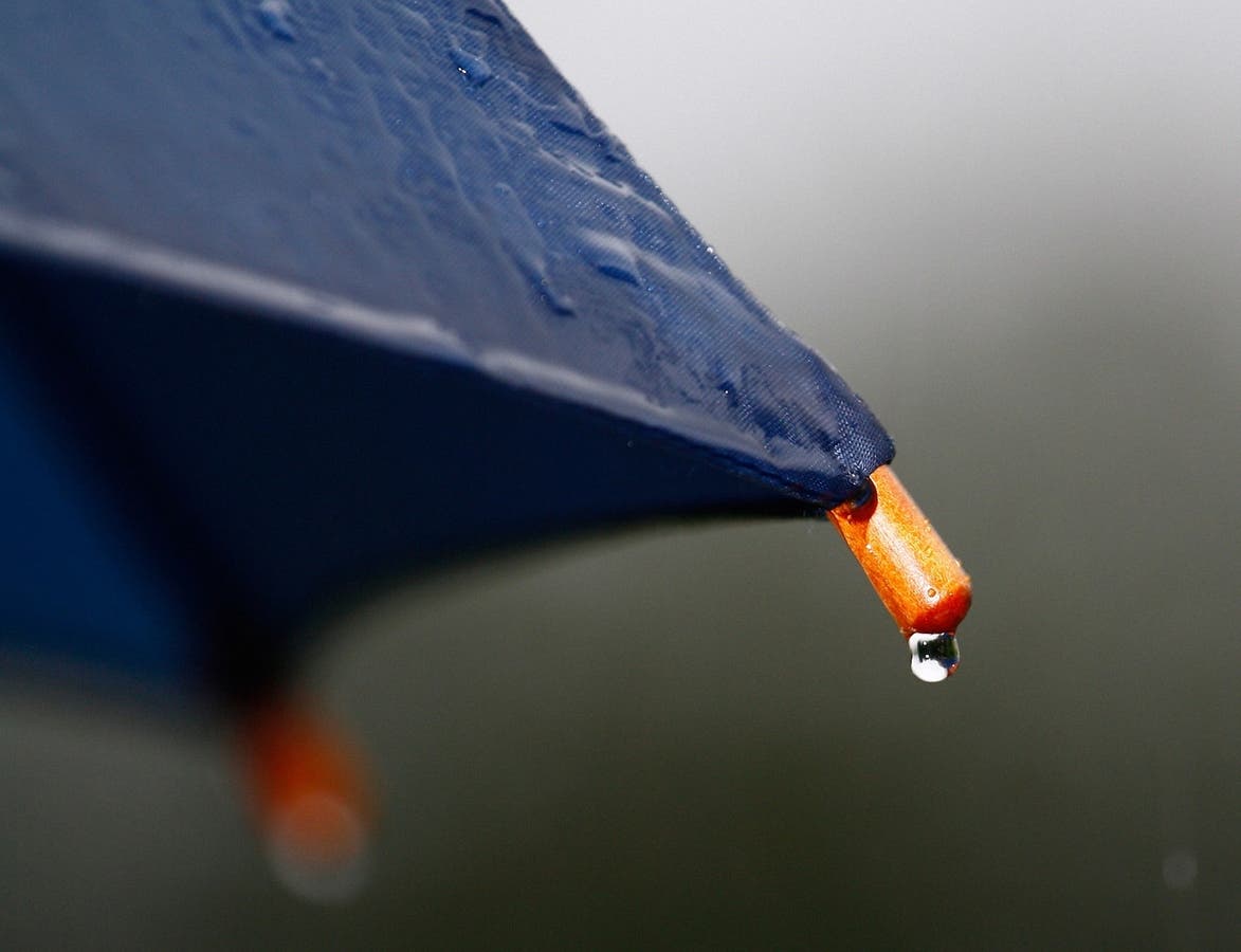
Photo via Pixabay
Get more local news delivered straight to your inbox. Sign up for free Patch newsletters and alerts.