Weather
Heavy Rain Could Lead To Isolated Flooding In Iredell: NWS
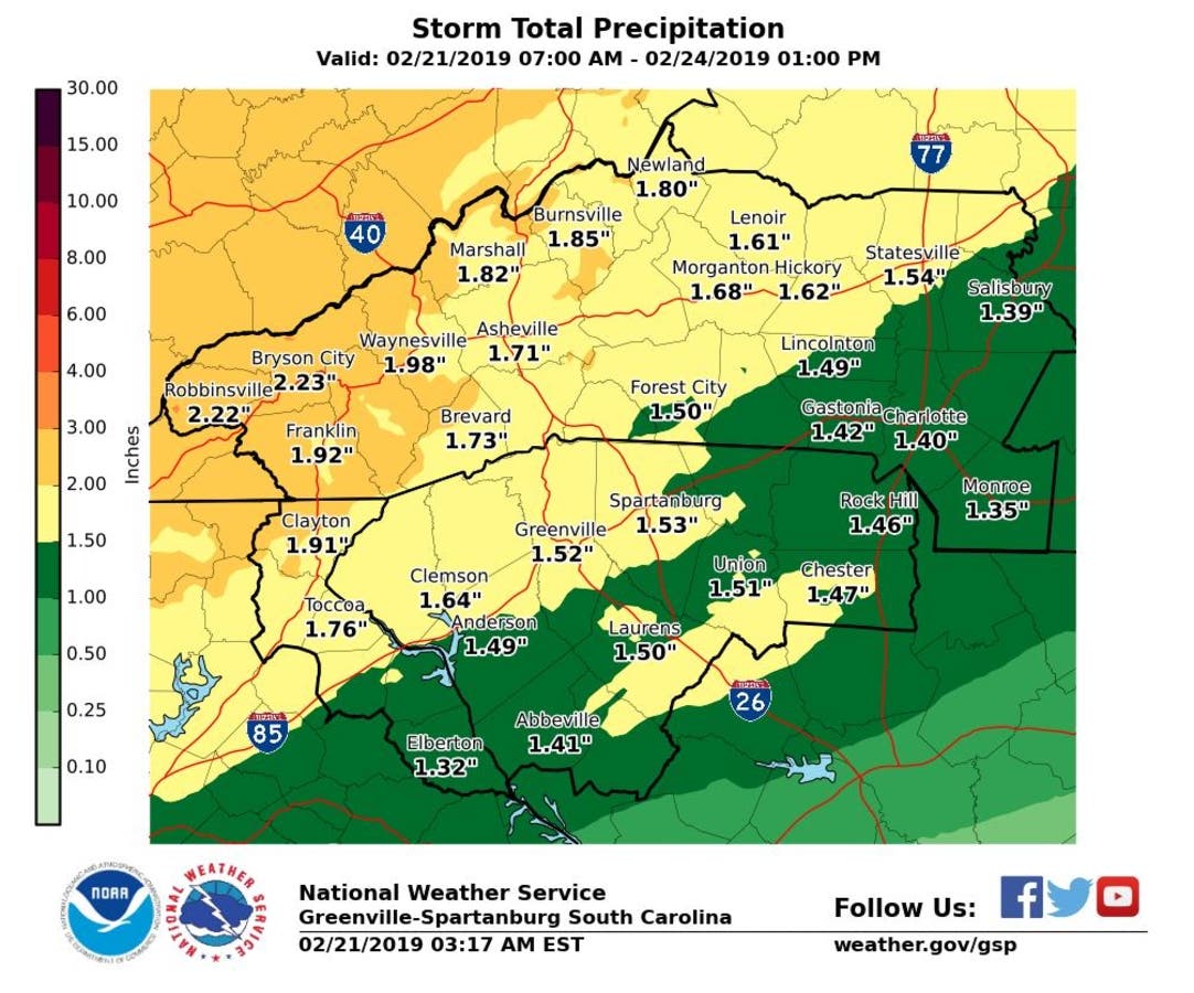
Heavy rain moving through the piedmont of North Carolina is saturating soils and could lead to flooding in some areas, forecasters said.

MOORESVILLE, NC — A line of showers hovering over the piedmont of North Carolina promises heavy showers throughout the day Thursday that could lead to soil saturation and isolated flooding in the region, including Iredell County, National Weather Service forecasters said.
“Isolated thunderstorms will be possible this morning, with brief heavy rain and cloud-to-ground lightning the primary threats,” NWS said in a Feb. 21 hazardous weather outlook bulletin. “Later today, additional showers are expected across the area, and with saturated soils, isolated flooding may occur.”
The threat of flash flooding in the state will increase over the weekend, as heavy rain is expected off and on through Sunday, NWS said.
Find out what's happening in Mooresvillefor free with the latest updates from Patch.
Long periods of rain can cause isolated stream and main-stem river flooding. Use caution when traveling in flood prone areas. #TurnAroundDontDrown https://t.co/lxVbvj4QoH
— NC Emergency Managem (@NCEmergency) February 20, 2019
Here is the National Weather Service forecast through the weekend:
Today (Feb. 21)
A 50 percent chance of showers before 4pm. Patchy fog before 3pm. Otherwise, cloudy, with a high near 56. Southwest wind 3 to 5 mph. New precipitation amounts between a tenth and quarter of an inch possible.
Tonight
A chance of rain before midnight, then showers likely between midnight and 4am, then rain after 4am. Patchy fog. Low around 48. Calm wind becoming northeast 5 to 8 mph in the evening. Chance of precipitation is 80%. New precipitation amounts between a quarter and half of an inch possible.
Friday (Feb. 22)
Showers. Patchy fog after 5pm. High near 49. Northeast wind around 9 mph. Chance of precipitation is 80%. New precipitation amounts between a quarter and half of an inch possible.
Friday Night
Showers likely before 3am, then rain likely after 3am. Cloudy, with a low around 43. Northeast wind 5 to 8 mph. Chance of precipitation is 70%. New precipitation amounts between a tenth and quarter of an inch possible.
Saturday (Feb. 23)
Showers likely before noon, then a chance of rain between noon and 4pm, then a chance of showers after 4pm. Cloudy, with a high near 50. Northeast wind 3 to 6 mph. Chance of precipitation is 60%.
Saturday Night
Showers likely, mainly between 1am and 2am. Cloudy, with a low around 48. Chance of precipitation is 60%.
Sunday (Feb. 24)
A chance of showers before noon, then a chance of rain between noon and 1pm. Partly sunny, with a high near 70. Chance of precipitation is 40%.
Sunday Night
Mostly clear, with a low around 38.
Find out what's happening in Mooresvillefor free with the latest updates from Patch.
Send local news tips, photos, and press releases to kimberly.johnson@patch.com. For more news like this, find your local Patch here. If you have an iPhone, click here to get the free Patch iPhone app; download the free Patch Android app here.
Get more local news delivered straight to your inbox. Sign up for free Patch newsletters and alerts.