Weather
Flood Risk Increases, 2 Inches Of Rain Per Hour Possible In Eastern PA: Forecast
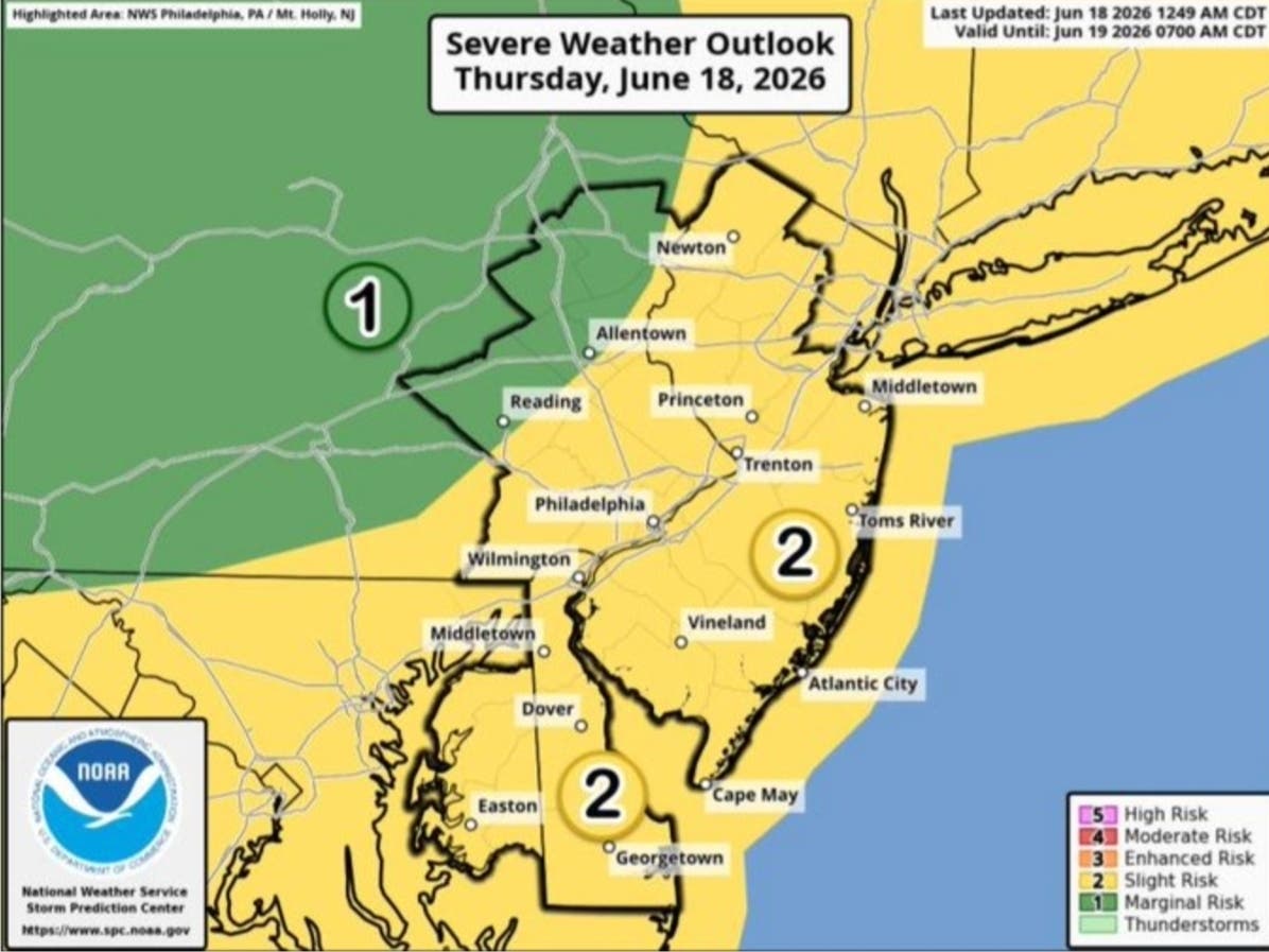
"Significant" flash floods are possible as a second day of severe rain, and severe heat, swamps the Philly region.

An even more powerful wave of storms from the remnants of Tropical Storm Chantal will hit the greater Philadelphia area on Tuesday and Wednesday, potentially causing major flooding, road closures, and significantly impacting travel.
Storms will arrive Tuesday afternoon and will continue into the evening. All of southeastern Pennsylvania is under a flood watch from 2 p.m., around when the storms are expected to arrive, until midnight.
"Showers and thunderstorms with heavy rainfall could lead to flash flooding, including road closures, along with damaging winds," the National Weather Service said in their latest briefing.
Find out what's happening in Across Pennsylvaniafor free with the latest updates from Patch.
Flood prone areas, particularly suburban creeks and waterways like the Delaware River, the Schuylkill River, Perkiomen Creek, Cobb's Creek, Wissahickon Creek, and more, are at high risk after already receiving rainfall Monday.

Rain could fall at a rate of up to two inches per hour Tuesday in the heart of the storm, forecasters said, and the hardest hit areas could see significant accumulation. Wind gusts could also cause damage to trees and power lines.
Find out what's happening in Across Pennsylvaniafor free with the latest updates from Patch.
The storm will significantly cool the region down, as the hours before its 2 p.m. arrival will be scorching hot. The heat index could rise to around 102 degrees, with high temperatures in the mid to upper 90s, forecasters said. A heat advisory is in effect from 10 a.m. to 8 p.m.

The remnants of Chantal hit the Philly region in the days following an ongoing onslaught on the southern states. Heavy rainfall swamped the coast, dumping nearly a foot of rain on much of North Carolina before veering north.
The storm is massive, and another bout of severe rainfall is expected to slam the region again on Wednesday afternoon and evening, according to the National Weather Service.
"Moving forward through the middle and latter parts of this week, the main threat from the ongoing, nearly daily rounds of thunderstorms in some areas will be flash flooding, especially where it rained hard the day before, saturated the ground and pushed small stream levels up," Accuweather added.
Here's the full forecast, according to the National Weather Service:
Tuesday
A chance of showers and thunderstorms, then showers likely and possibly a thunderstorm after 5 p.m. Some of the storms could produce heavy rainfall. Increasing clouds, with a high near 95. Heat index values as high as 102. West wind 5 to 10 mph. Chance of precipitation is 60 percent. New rainfall amounts between a quarter and half of an inch possible.
Tonight
Showers and thunderstorms likely, mainly before midnight, then a slight chance of thunderstorms after 4 a.m. Some of the storms could produce heavy rainfall. Mostly cloudy, with a low around 74. Southwest wind around 5 mph becoming calm in the evening. Chance of precipitation is 60 percent. New rainfall amounts between a quarter and half of an inch possible.
Wednesday
A slight chance of showers between 8am and 2pm, then a chance of showers and thunderstorms after 2 p.m. Partly sunny, with a high near 90. Calm wind becoming west around 5 mph in the afternoon. Chance of precipitation is 40 percent. New rainfall amounts of less than a tenth of an inch, except higher amounts possible in thunderstorms.
Wednesday Night
A chance of showers and thunderstorms. Mostly cloudy, with a low around 72. Southwest wind around 5 mph becoming calm. Chance of precipitation is 50 percent. New rainfall amounts between a half and three quarters of an inch possible.
Thursday
Showers likely and possibly a thunderstorm before 5pm, then showers and thunderstorms likely after 5 p.m. Mostly cloudy, with a high near 85. Calm wind becoming south around 5 mph in the afternoon. Chance of precipitation is 70 percent. New rainfall amounts between a quarter and half of an inch possible.
Thursday Night
Showers and thunderstorms likely before 5 a.m., then a slight chance of showers. Cloudy, with a low around 72. Chance of precipitation is 60 percent. New rainfall amounts between a tenth and quarter of an inch, except higher amounts possible in thunderstorms.
Friday
A chance of showers between 8am and 2pm, then a chance of showers and thunderstorms after 2pm. Mostly cloudy, with a high near 87. Chance of precipitation is 50 percent.
Friday Night
A chance of thunderstorms before 8pm. Mostly cloudy, with a low around 72. Chance of precipitation is 30 percent.
Saturday
A chance of showers and thunderstorms after 2 p.m. Mostly sunny, with a high near 89. Chance of precipitation is 30 percent.
Saturday Night
A chance of showers and thunderstorms before 8 p.m. Partly cloudy, with a low around 73. Chance of precipitation is 30 percent.
Sunday
A chance of showers and thunderstorms. Partly sunny, with a high near 88. Chance of precipitation is 40 percent.
Sunday Night
A chance of showers and thunderstorms. Mostly cloudy, with a low around 72. Chance of precipitation is 30 percent.
Get more local news delivered straight to your inbox. Sign up for free Patch newsletters and alerts.