Weather
Severe Thunderstorm Warning Issued In Eastern PA
Hail, 60 mile per hour wind gusts, and tornadoes are possible, officials said.

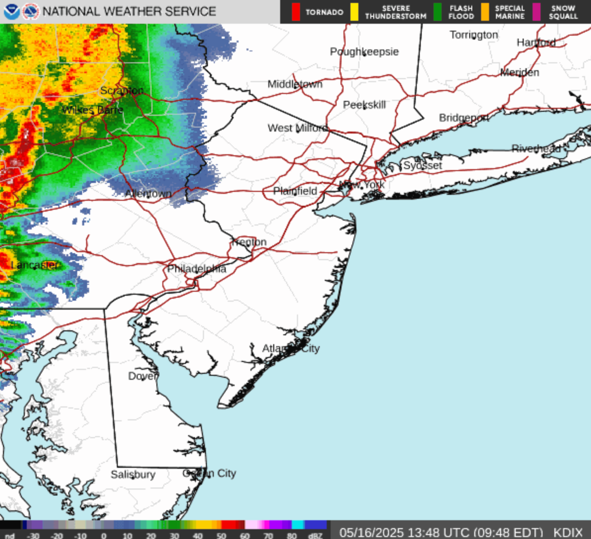
PENNSYLVANIA — A severe thunderstorm warning has been issued in southeastern Pennsylvania until 12:15 p.m., the National Weather Service announced.
The warning covers Montgomery County, central Bucks County, northeastern Chester County, and northern Philadelphia county, officials said.
The storm is carrying 60 mile per hour wind gusts and quarter size hail, characteristics which have a "history of producing damage" in the area, according to forecasters.
Find out what's happening in Across Pennsylvaniafor free with the latest updates from Patch.
"Minor damage to vehicles is possible," the National Weather Service said. "Wind damage to roofs, siding, trees, and power lines is possible."
Multiple rounds of severe thunderstorms are expected to hit the region between 10 a.m. and 7 p.m. Timing for the severity of these bouts remains uncertain, but the Weather Service's Mt. Holly, New Jersey branch further clarified that the first round is likely between 10 a.m. and 3 p.m., and a second round will hit between 3 p.m. and 7 p.m.
Find out what's happening in Across Pennsylvaniafor free with the latest updates from Patch.
A few tornadoes are also possible.
Most of the five county suburban area is within the "highest threat area," the National Weather Service said, as a band of "slight risk" stretches from just south of Allentown all the way south through the Philly area and south Jersey.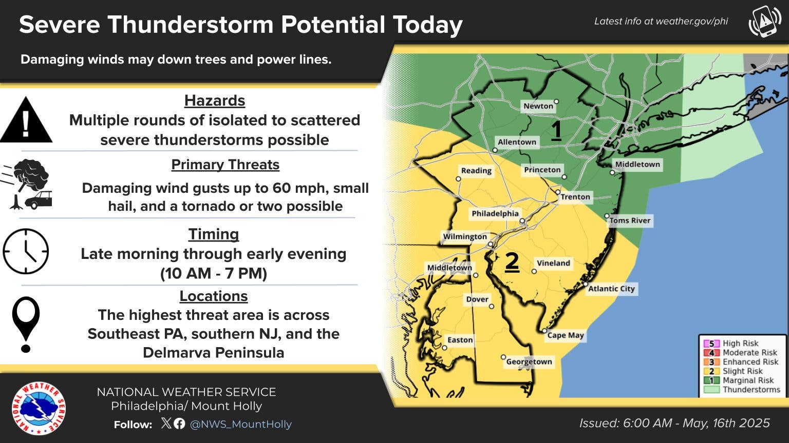
It's part of the remnants of a severe cross-country storm bearing potential tornadoes and 80 mile an hour wind gusts across the midwest, Accuweather says.
Tornadoes are also possible in the Philly area Friday, forecasters said in their most recent update.
"Part of this area may face a period of torrential downpours, high winds and localized hail," Accuweather adds.
While showers may be heavy at times, they're also expected to be scattered. Several hours of rainfall could be frequently punctuated by several hours of dry and still conditions over the coming days.
Here's the forecast through Monday evening, according to the National Weather Service:
Friday
A chance of showers before 11 a.m., then a chance of showers and thunderstorms between 11 a.m. and noon, then showers likely and possibly a thunderstorm after noon. Areas of fog before 10 a.m. Otherwise, mostly cloudy, with a high near 81. South wind 5 to 10 mph. Chance of precipitation is 70 percent. New rainfall amounts between a tenth and quarter of an inch, except higher amounts possible in thunderstorms.
Tonight
A chance of showers and thunderstorms, mainly before 1 a.m. Areas of fog between midnight and 3 a.m. Otherwise, mostly cloudy, with a low around 67. Southwest wind around 5 mph. Chance of precipitation is 40 percent. New rainfall amounts of less than a tenth of an inch, except higher amounts possible in thunderstorms.
Saturday
A chance of showers and thunderstorms. Partly sunny, with a high near 84. West wind 5 to 15 mph. Chance of precipitation is 50 percent. New rainfall amounts of less than a tenth of an inch, except higher amounts possible in thunderstorms.
Saturday Night
Partly cloudy, with a low around 61. West wind around 10 mph.
Sunday
Mostly sunny, with a high near 76. West wind 10 to 15 mph, with gusts as high as 30 mph.
Sunday Night
Partly cloudy, with a low around 58.
Monday
Sunny, with a high near 75.
Monday Night
Mostly clear, with a low around 52.
Get more local news delivered straight to your inbox. Sign up for free Patch newsletters and alerts.