Weather
Nor'Easter To Soak Eastern PA Ahead Of Holiday Weekend: See Latest Forecast
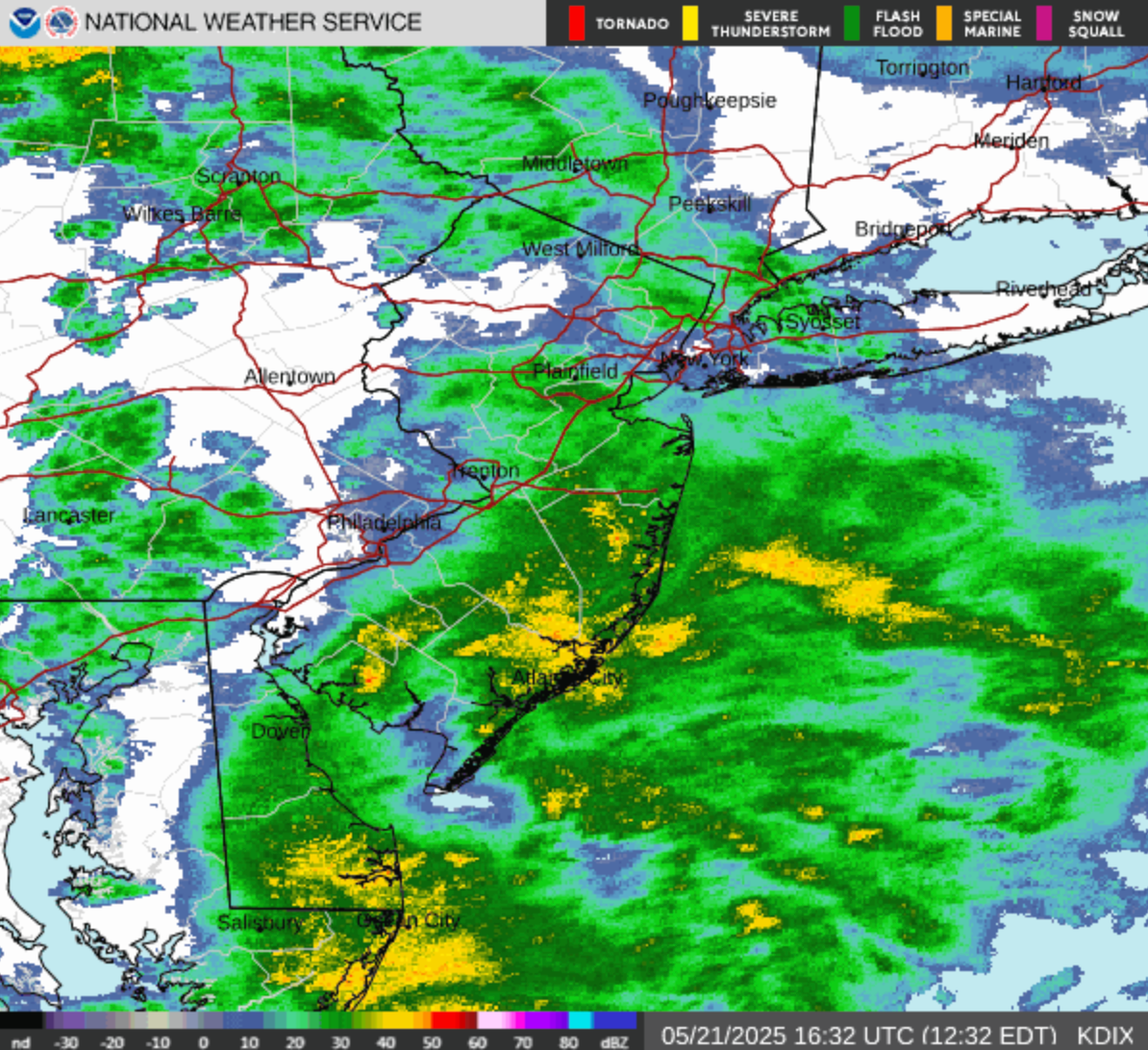
Driving rain and wind gusts are part of an unseasonably chilly storm front heading to the Philadelphia area, forecasters said.

EASTERN PA — While June and the promise of balmier weather to come is just days away, a powerful storm with strong winds and driving rain is poised to hit the greater Philadelphia area ahead of Memorial Day weekend, forecasters said.
The storm will arrive Wednesday and bring an inch to 1.5 inches of rain around the region by the end of Thursday, according to the National Weather Service said.
"Enough rain can fall at times (in the area) to bring flooding in urban areas, which can slow travel," Accuweather said. "The combination of rain and air from the Atlantic will create conditions more typical of late March or early April."
Find out what's happening in Across Pennsylvaniafor free with the latest updates from Patch.
Wednesday will see temperatures down to 50 degrees, with easterly wind gusts of 25 to 35 mph making things chilly, the National Weather Service said.
Find out what's happening in Across Pennsylvaniafor free with the latest updates from Patch.
Rain showers continue Thursday, though conditions will improve gradually into Friday, forecasters said.
The latest bout of torrential rain comes even as many local areas have received a full month of rain in the first two weeks of May, Accuweather adds.
Showers will taper off by Friday, though forecasters expect some to linger during the day. Highs will be in the 60s.
A stray shower or two is possible through the weekend, but overall conditions are expected to improve, according to the National Weather Service.
If you're heading down the shore, minor coastal flooding is possible during high tide, with wind gusts of 30 to 40 mph likely, forecasters said.
By Memorial Day on Monday, the outlook is warmer and drier, though there's still a slight chance of rain.
Here's the latest forecast from the National Weather Service:
Wednesday
Periods of rain. High near 57. East wind around 10 mph, with gusts as high as 20 mph. Chance of precipitation is 100 percent. New precipitation amounts between a tenth and quarter of an inch possible.
Wednesday night
Periods of rain and possibly a thunderstorm before 11 p.m., then periods of rain between 11 p.m. and 2 a.m., then periods of rain and possibly a thunderstorm after 2 a.m. Low around 52. East wind 5 to 10 mph, with gusts as high as 20 mph. Chance of precipitation is 100%. New rainfall amounts between a half and three quarters of an inch possible.
Thursday
Showers likely before 11 a.m., then periods of rain between 11 a.m. and 2 p.m., then showers after 2pm. High near 57. Northeast wind 5 to 10 mph. Chance of precipitation is 90%. New precipitation amounts between a quarter and half of an inch possible.
Thursday Night
Showers likely, mainly before 8 p.m. Mostly cloudy, with a low around 50. North wind around 5 mph becoming west after midnight. Chance of precipitation is 60 percent. New precipitation amounts of less than a tenth of an inch possible.
Friday
A chance of showers, mainly after 8 a.m. Partly sunny, with a high near 63. West wind 5 to 10 mph. Chance of precipitation is 30 percent.
Friday Night
Partly cloudy, with a low around 49.
Saturday
Mostly sunny, with a high near 65.
Saturday Night
Mostly clear, with a low around 49.
Sunday
Mostly sunny, with a high near 70.
Sunday Night
Mostly cloudy, with a low around 53.
Memorial Day
A chance of showers. Partly sunny, with a high near 72. Chance of precipitation is 40 percent.
Monday Night
A chance of showers. Mostly cloudy, with a low around 56. Chance of precipitation is 50 percent.
Get more local news delivered straight to your inbox. Sign up for free Patch newsletters and alerts.


