Weather
When Will Rain Stop? Here's The Latest On Cross-Country Storm Drenching PA
The effects of the storm could be felt for days, forecasters said, and flooding advisories have been issued.

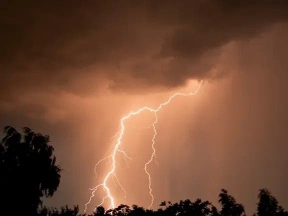
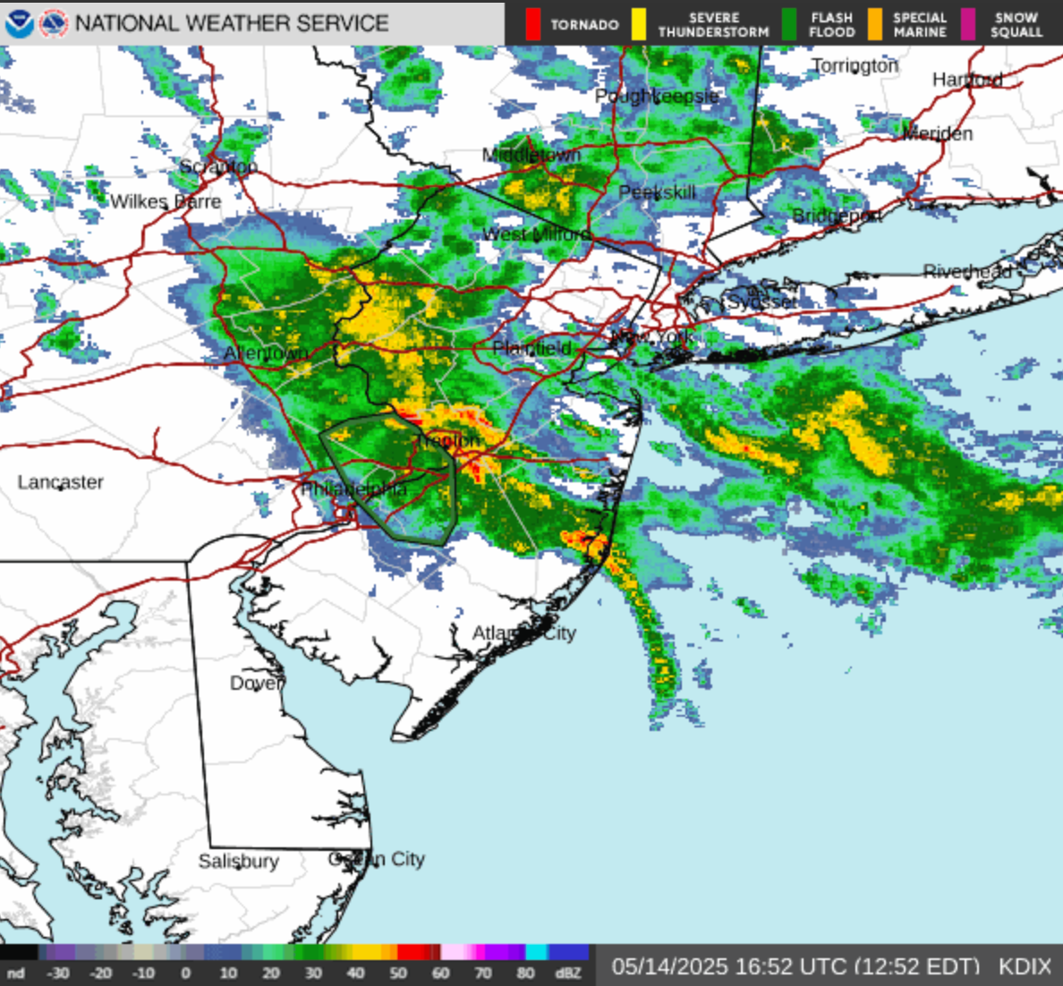
EASTERN PA — Heavy rain and thunderstorms will hit the greater Philadelphia area over the coming days, potentially bringing damaging winds and flooding to parts of the region, according to forecasters.
It's part of the remnants of a severe cross-country storm bearing potential tornadoes and 80 mile an hour wind gusts across the midwest, Accuweather says. The greater Philadelphia area, however, along with much of the east coast, is likely to only see less severe effects.
Still, the accumulated rainfall could cause travel delays, and a coastal flood advisory has been issued for parts of the Delaware River watershed, including in Philadelphia, lower Bucks, and Delaware counties.
Find out what's happening in Across Pennsylvaniafor free with the latest updates from Patch.
As for timing, forecasters say that intermittent rain and thunder will continue from Wednesday afternoon through Saturday night, before the front finally clears on Sunday. While showers may be heavy at times, they're also expected to be scattered. Several hours of rainfall could be frequently punctuated by several hours of dry and still conditions.
"The old storm (from the midwest) will still trigger a band of steady rain from the upper mid-Atlantic to southwestern New England into Wednesday evening, with New York City at the center of the wet conditions," Accuweather says. "Enough rain can fall to lead to flash urban flooding and slow travel due to ponding on some roads."
Find out what's happening in Across Pennsylvaniafor free with the latest updates from Patch.
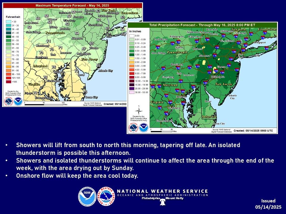
Accumulated rainfall totals are forecasted to be about a tenth of an inch on Wednesday, Thursday, and Friday, with higher amounts expected in the midst of thunderstorms.
"At this level, flooding begins on the most vulnerable roads along tidal waterways. Some partial or full road closures are possible," the National Weather Service said. "Minor coastal flooding is forecast with the overnight high tides Thursday night and Friday night as well, especially along the upper reaches of the tidal Delaware River."
Temperatures will remain summer-like through much of the storm, with highs in the low 80s and upper 70s for most of the week and into the weekend. The expected pauses in the storm could bring a tropical feeling to the air, with the heat combined with lingering humidity.
Get The Latest Local News (For Free!) With One Quick Tap
Here's the full forecast, according to the National Weather Service:
Wednesday
Showers likely and possibly a thunderstorm before 2 p.m., then a chance of showers and thunderstorms after 2 p.m. Cloudy, with a high near 68. East wind around 10 mph, with gusts as high as 20 mph. Chance of precipitation is 70 percent. New rainfall amounts of less than a tenth of an inch, except higher amounts possible in thunderstorms.
Wednesday Night
A chance of showers and thunderstorms. Cloudy, with a low around 62. East wind around 5 mph. Chance of precipitation is 40 percent. New rainfall amounts of less than a tenth of an inch, except higher amounts possible in thunderstorms.
Thursday
Showers likely, with thunderstorms also possible after 2 p.m. Mostly cloudy, with a high near 78. Calm wind. Chance of precipitation is 60 percent. New rainfall amounts between a tenth and quarter of an inch, except higher amounts possible in thunderstorms.
Thursday Night
A chance of thunderstorms before 8 p.m. Mostly cloudy, with a low around 63. Calm wind. Chance of precipitation is 30 percent. New precipitation amounts of less than a tenth of an inch, except higher amounts possible in thunderstorms.
Friday
A chance of showers, then showers likely and possibly a thunderstorm after 2 p.m. Mostly cloudy, with a high near 82. Calm wind becoming southwest around 5 mph in the afternoon. Chance of precipitation is 60 percent. New rainfall amounts of less than a tenth of an inch, except higher amounts possible in thunderstorms.
Friday Night
Showers likely and possibly a thunderstorm before 8 p.m., then a chance of showers. Mostly cloudy, with a low around 66. Chance of precipitation is 60 percent. New precipitation amounts of less than a tenth of an inch, except higher amounts possible in thunderstorms.
Saturday
Showers likely, mainly after 2 p.m. Partly sunny, with a high near 84. Chance of precipitation is 60 percent.
Saturday Night
Showers likely before 8 p.m. Mostly clear, with a low around 63. Chance of precipitation is 60 percent.
Sunday
Sunny, with a high near 78.
Sunday Night
Mostly clear, with a low around 57.
Get more local news delivered straight to your inbox. Sign up for free Patch newsletters and alerts.