Weather
Wildfire Smoke, Severe Heat Prompts Air Quality Warning For Eastern PA
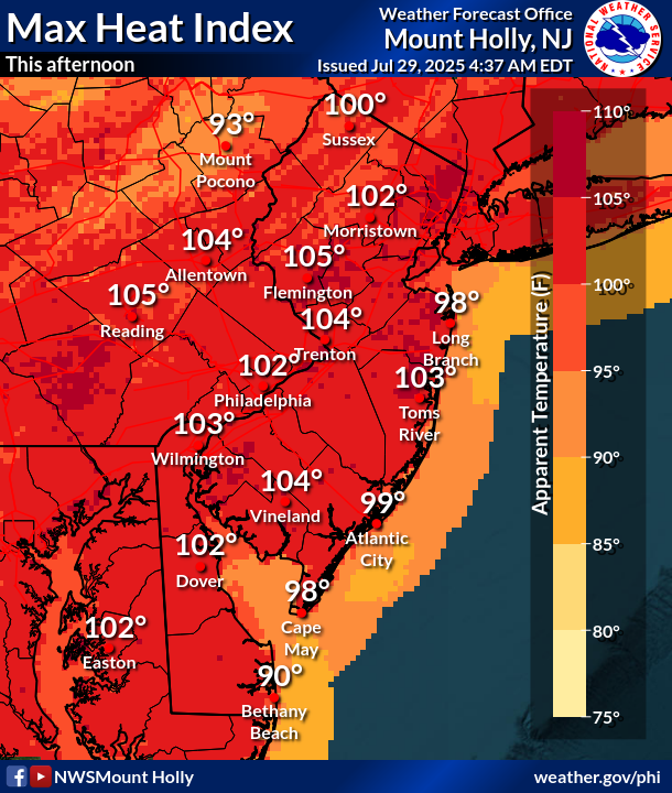
Smoke from wildfires will mix with humidity and lethal 99-degree heat, with the heat index soaring up to 105.


Heavy humidity and dangerous heat are again moving into southeastern Pennsylvania, part of a noxious front that has sparked the National Weather Service to issue a heat advisory and an air quality alert.
Temperatures will approach 100 degrees around the Philadelphia region Tuesday, with the heat index soaring up to 105 in some areas, forecasters said. It's more than enough to cause heat-related illness.
"Drink plenty of fluids, stay in an air-conditioned room, stay out of the sun, and check up on relatives and neighbors," the National Weather Service said. " Take extra precautions when outside. Wear lightweight and loose fitting clothing. Try to limit strenuous activities to early morning or evening. Take action when you see symptoms of heat exhaustion and heat stroke."
Find out what's happening in Across Pennsylvaniafor free with the latest updates from Patch.
A "code orange" air quality alert has also been issued for all of southeastern Pennsylvania Tuesday, further reason for residents to limit strenuous activities outside. The heat will mix with low level smoke from the Canadian wildfires, creating high ozone levels, the Pennsylvania Department of Environmental Protection said.
"Although ozone precursors are most often generated by car exhaust and industrial air emissions, wildfire smoke can provide additional precursors," the agency added. "Ozone pollution is most common in densely populated areas with higher amounts of car exhaust and industrial air emissions."
Find out what's happening in Across Pennsylvaniafor free with the latest updates from Patch.
Residents can help limit ozone pollution during air quality alerts by limiting driving time and never idling their vehicle's engine.
Severe heat will continue into Wednesday as well, with a similar heat index. The heat advisory will not expire until 8 p.m. Wednesday.
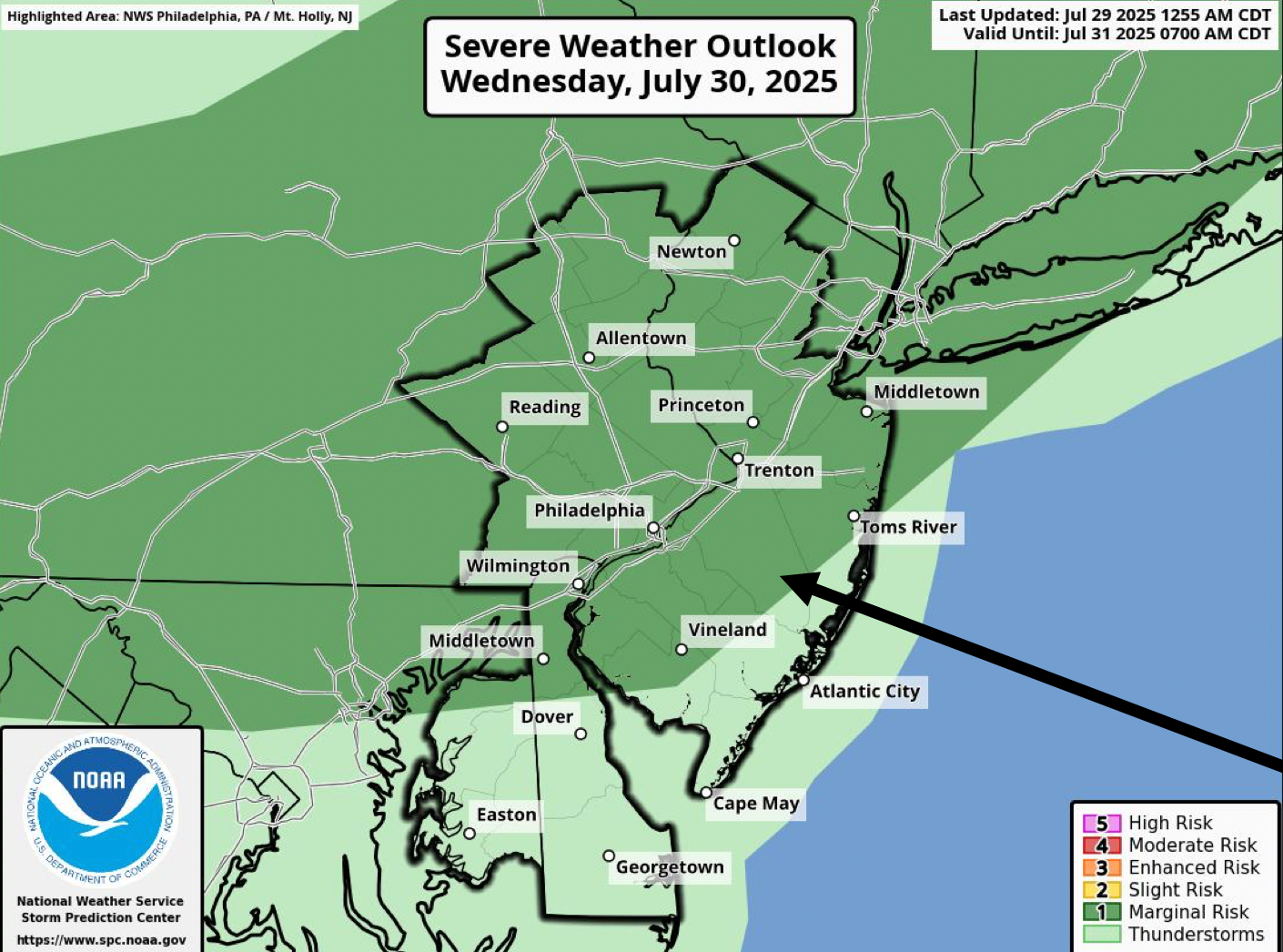
As is often the case with the worst heat waves summer, the heat will be followed by a round of rain and thunderstorms late Thursday.
While some rain is possible in the late morning, stronger showers and thunderstorms could begin after 2 p.m. Thursday, and "locally heavy rainfall could lead to flash flooding," the National Weather Service warned.
Here's the full forecast for the week, according to the National Weather Service:
Tuesday
Sunny and hot, with a high near 99. Heat index values as high as 102. Calm wind becoming west around 5 mph in the afternoon.
Tonight
Mostly clear, with a low around 78. Southwest wind around 5 mph.
Wednesday
Sunny and hot, with a high near 98. Heat index values as high as 103. Light southwest wind increasing to 5 to 10 mph in the morning.
Wednesday Night
A chance of showers and thunderstorms. Mostly cloudy, with a low around 77. Southwest wind around 5 mph. Chance of precipitation is 30 percent. New rainfall amounts of less than a tenth of an inch, except higher amounts possible in thunderstorms.
Thursday
A chance of showers before 11 a.m., then a chance of showers and thunderstorms between 11 a.m. and 2 p.m., then showers likely and possibly a thunderstorm after 2 p.m. Some of the storms could produce heavy rainfall. Partly sunny, with a high near 87. East wind 5 to 10 mph. Chance of precipitation is 60 percent. New rainfall amounts between a quarter and half of an inch possible.
Thursday Night
Showers and possibly a thunderstorm. Some of the storms could produce heavy rainfall. Low around 68. Chance of precipitation is 80 percent. New rainfall amounts between three quarters and one inch possible.
Friday
Showers likely, mainly before 8 a.m. Cloudy, with a high near 75. Chance of precipitation is 60 percent.
Friday Night
Partly cloudy, with a low around 64.
Get more local news delivered straight to your inbox. Sign up for free Patch newsletters and alerts.


