Weather
More Snow Expected Tuesday
The National Weather Service has issued a Hazardous Weather Outlook for snow on Tuesday afternoon and evening.

The National Weather Service has issued a Hazardous Weather Outlook across the Philadelphia region for snow on Tuesday night. One to two inches of accumulation is now expected.
According to the most recent information from the NWS: "Light snow is expected to develop from west to east Tuesday afternoon and evening. Snowfall accumulations of 1 to 2 inches are expected with most of it falling Tuesday night."
The Weather Channel's hourly forecast predicts the snow will start late — around 9 or 10 p.m. — and continue overnight until Wednesday morning.
Find out what's happening in Doylestownfor free with the latest updates from Patch.
Low temperatures will be in the mid-20s overnight on Tuesday.
Here is the local forecast for the week:
Find out what's happening in Doylestownfor free with the latest updates from Patch.
Tuesday: A slight chance of snow before 11am, then a chance of rain and snow. Cloudy, with a high near 37. Light and variable wind. Chance of precipitation is 40%. Little or no snow accumulation expected.
Tuesday night: Snow. Low around 28. Calm wind becoming northwest 5 to 8 mph after midnight. Chance of precipitation is 90%. New snow accumulation of 1 to 2 inches possible.
Wednesday: Snow likely, mainly before 10am. Cloudy, then gradually becoming mostly sunny, with a high near 33. Northwest wind 8 to 10 mph. Chance of precipitation is 60%. New snow accumulation of less than a half inch possible.
Wednesday night: Partly cloudy, with a low around 16.
Thursday: Sunny, with a high near 32.
Thursday night: Mostly clear, with a low around 22.
Friday: Sunny, with a high near 40.
Friday night: Partly cloudy, with a low around 26.
Saturday: Mostly sunny, with a high near 47.
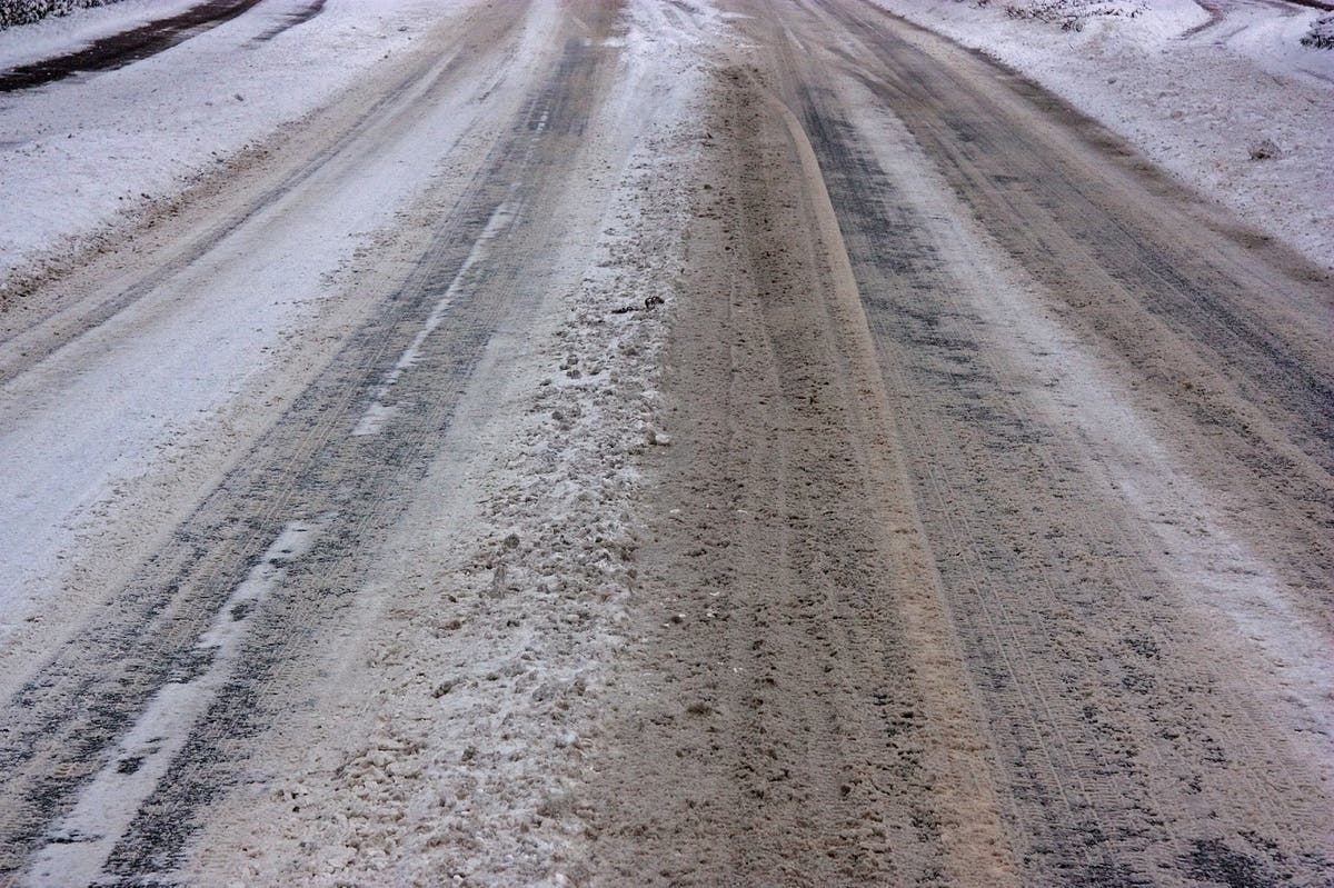
PHOTO: Pixabay
Get more local news delivered straight to your inbox. Sign up for free Patch newsletters and alerts.