Weather
Extreme Cold, Snow In New Year's Eve Weekend Forecast For PA
A bitter Arctic blast that has enveloped the area will linger into 2018, and could bring with it some weekend snow showers.

A bitter Arctic blast that has enveloped the area will linger into 2018, and could bring with it some weekend snow showers and pose safety risks for outdoor partiers this New Year's Eve, forecasters are warning. The National Weather Service has issued a Hazardous Weather Outlook across the Philadelphia region for "nearly continuous subfreezing temperatures" through next week.
Additionally, there is a chance for some accumulating snow Saturday, which could lead to slippery driving conditions.
Temperatures in the lower teens are predicted on New Year's Eve throughout the region, including in New York City, where the ball will drop. The temperature there may be within the top two lowest since records have been maintained in the 1800s, AccuWeather says.
Find out what's happening in Newtownfor free with the latest updates from Patch.
The frigid temperatures pose a safety risk on New Year's Eve, forecasters warn.
"These conditions will be dangerously cold, especially for those spending many hours outdoors overnight across the majority of the eastern two-thirds of the country," AccuWeather said in a news release.
Find out what's happening in Newtownfor free with the latest updates from Patch.
Alcohol increases the risk of hypothermia, if not alert and properly dressed, according to the Mayo Clinic.
Be prepared to bundle up for the long haul: The Weather Channel's extended forecast shows no temperatures above the mid-30s until Jan. 8.
And remember not to leave your pets outside. It's now illegal in Pennsylvania to leave your pet tethered for more than 30 minutes in extreme weather conditions (above 90 degrees or below 30 degrees).
RELATED: Prevent Your Pipes From Freezing During Brutal PA Cold Snap
Here is the forecast, according to the National Weather Service:
Today: Sunny, with a high near 21. Northwest wind 11 to 14 mph.
Tonight: Mostly cloudy, with a low around 9. Northwest wind 3 to 8 mph.
Friday: Cloudy, then gradually becoming mostly sunny, with a high near 24. Calm wind becoming west around 6 mph in the morning.
Friday Night: A chance of snow showers after 1am. Mostly cloudy, with a low around 15. West wind 3 to 5 mph. Chance of precipitation is 30%. New snow accumulation of less than a half inch possible.
Saturday: A chance of snow showers. Cloudy, with a high near 27. West wind 3 to 6 mph. Chance of precipitation is 50%. New snow accumulation of less than a half inch possible.
Saturday Night: Mostly cloudy, with a low around 14.
Sunday: Mostly sunny, with a high near 22.
Sunday Night: Partly cloudy, with a low around 8.
New Year's Day: Sunny, with a high near 20.
Monday Night: Mostly clear, with a low around 8.
Tuesday: Sunny, with a high near 23.
Tuesday Night: Partly cloudy, with a low around 11.
Wednesday: A chance of snow showers. Mostly sunny, with a high near 29. Chance of precipitation is 30%.
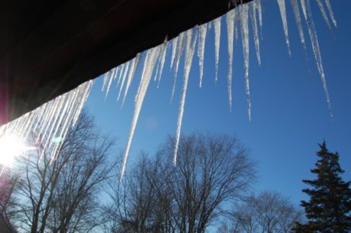
PHOTO: Kara Seymour
Get more local news delivered straight to your inbox. Sign up for free Patch newsletters and alerts.