Weather
Florence Remnants In PA: Storm Timeline, Rainfall Totals
The NWS has issued a Hazardous Weather Outlook across Eastern Pennsylvania due to predicted heavy rain and flash flooding concerns.

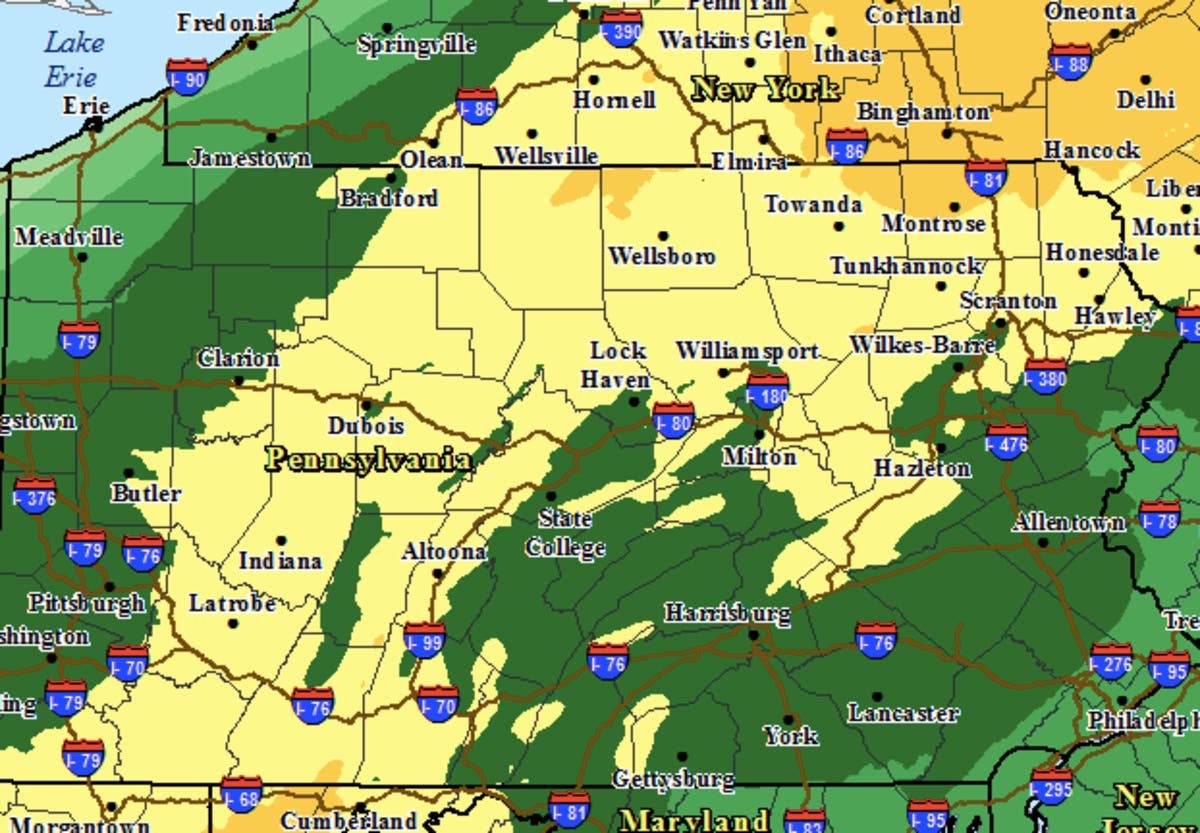
The remnants of Florence are headed to Pennsylvania early this week, bringing heavy rain that could result in flash flooding, the National Weather Service said. The NWS has issued a Hazardous Weather Outlook across Eastern Pennsylvania.
Florence, which made landfall as a Category 1 hurricane along the Carolina coast on Friday, continues to weaken. The storm, now a tropical depression, will move toward the Mid-Atlantic on Monday into Tuesday, bringing heavy rain.
There is the potential for as much as six inches of rain from western Virginia and the mountains of West Virginia to Pennsylvania, southern New York state and Massachusetts, according to AccuWeather. Predictions in Eastern Pennsylvania are closer to one to two inches, according to local forecasts.
Find out what's happening in Newtownfor free with the latest updates from Patch.
In addition to the concerns over flash flooding, there is a "marginal" risk of tornadoes in portions of the western Mid-Atlantic, the NWS said.
The good news: Florence is now a fast-moving system, which means the heavy rains won't linger long.
Find out what's happening in Newtownfor free with the latest updates from Patch.
“However, even 2-3 inches of rain can bring more flooding concerns since streams and creeks throughout the region are still running high,” said AccuWeather Meteorologist Kyle Elliott.
By Tuesday, the heavy rain along with the remnants of Florence will spread from the Northeast to coastal New England. "By Wednesday, all precipitation will finally exit off the East Coast," the NWS predicts.
Here is the forecast:
Today: A chance of showers, with thunderstorms also possible after 3pm. Some of the storms could produce heavy rain. Cloudy, with a high near 79. Southeast wind 3 to 7 mph. Chance of precipitation is 40%. New rainfall amounts of less than a tenth of an inch, except higher amounts possible in thunderstorms.
Tonight: A chance of showers and thunderstorms, then showers likely and possibly a thunderstorm after midnight. Some of the storms could produce heavy rain. Cloudy, with a low around 70. Southeast wind around 8 mph. Chance of precipitation is 70%. New rainfall amounts between a tenth and quarter of an inch, except higher amounts possible in thunderstorms.
Tuesday: Showers and possibly a thunderstorm. Some of the storms could produce heavy rain. High near 80. Southwest wind 7 to 9 mph. Chance of precipitation is 80%. New rainfall amounts between a half and three quarters of an inch possible.
Tuesday Night: Showers likely, mainly before 11pm. Mostly cloudy, with a low around 67. North wind around 7 mph. Chance of precipitation is 60%. New precipitation amounts between a tenth and quarter of an inch possible.
Wednesday: Mostly sunny, with a high near 80. North wind around 7 mph.
Wednesday Night: Mostly clear, with a low around 63.
Thursday: Mostly sunny, with a high near 76.
Image via NWS
Get more local news delivered straight to your inbox. Sign up for free Patch newsletters and alerts.


