Weather
Arctic Front Nears Philly Area As Travel Conditions Deteriorate
Wind chills will plunge below zero as the region braces for the storm's next phase, which has thrown Christmas travel plans into bedlam.

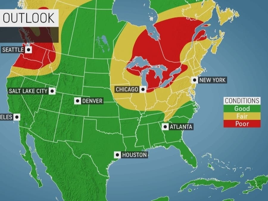
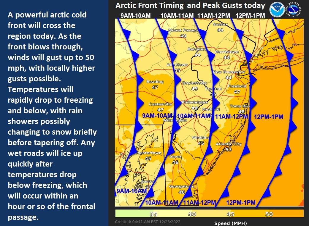
EASTERN PA — The massive winter storm impacting much of the nation continues to hammer the greater Philadelphia region Friday, with more rain and snow, devastating winds, and a bitterly frigid Arctic cold front on the way, according to forecasters. The severe weather has already caused flooding and dangerous travel conditions, and roadways will only grow more dangerous as Christmas nears.
Rain will continue until at least until around 1 p.m. Friday, with a chance of some snow falling until around 2 p.m., the National Weather Service said. Up to half an inch could accumulate.
That's when the Arctic front will arrive, sending temperatures dramatically spiralling downward. While parts of the Philadelphia area sat in the 50s Wednesday into Thursday, temperatures will drop into the teens by 5 p.m., and into the single digits overnight, according to forecasters.
Find out what's happening in Norristownfor free with the latest updates from Patch.
With wind gusts nearing 50 miles throughout the region, the wind chill will plummet to 8 below zero. Christmas in some places could be historically cold, AccuWeather reports.
The state is expecting a huge turnout for motorists and big traffic along with it, despite the weather. Some 5.4 million motorists are expected to travel the Turnpike around Christmas and New Years, covering the time period from Dec. 23 to Jan. 2.
Find out what's happening in Norristownfor free with the latest updates from Patch.
Officials are urging residents to avoid travel if possible, as the cold is life-threatening and stranded vehicles could find themselves in a very dangerous situation.
"But if travel is necessary, use caution, reduce speeds and be aware of changing weather conditions," PennDOT said in a statement. "Salt is not a silver bullet, and drivers may encounter icy spots on the roadway. With freezing temperatures, roads that look wet may actually be icy, and extra caution is needed when approaching bridges and highway ramps where ice can form without warning."
Flights have been delayed around the nation, with thousands of cancellations. Power outages have impacted millions, AccuWeather said.
The severe weather triggered multiple hazard alerts from the National Weather Service for the entire region. A wind advisory is in effect until 7 p.m. Friday, and a wind chill advisory until 10 a.m. Saturday. And a winter weather advisory impacts some of the region until 6 p.m. Saturday.
Here's the forecast through the remainder of the weekend:
Friday
Rain and snow before 1pm, then a slight chance of snow between 1pm and 2pm. Temperature falling to around 18 by 5pm. Breezy, with a west wind 15 to 25 mph, with gusts as high as 45 mph. Chance of precipitation is 90%. Total daytime snow accumulation of less than a half inch possible.
Friday night
Partly cloudy, with a low around 8. Wind chill values as low as -8. Breezy, with a west wind 15 to 20 mph, with gusts as high as 35 mph.
Saturday
Mostly sunny, with a high near 19. Wind chill values as low as -10. Breezy, with a west wind 15 to 20 mph, with gusts as high as 35 mph.
Saturday night
Partly cloudy, with a low around 15. West wind 10 to 15 mph, with gusts as high as 30 mph.
Christmas Day
Sunny, with a high near 27. West wind around 15 mph, with gusts as high as 30 mph.
Sunday night
Mostly clear, with a low around 17.
Get more local news delivered straight to your inbox. Sign up for free Patch newsletters and alerts.