Weather
Timeline For Dangerous Heat In PA: Index Could Hit 104
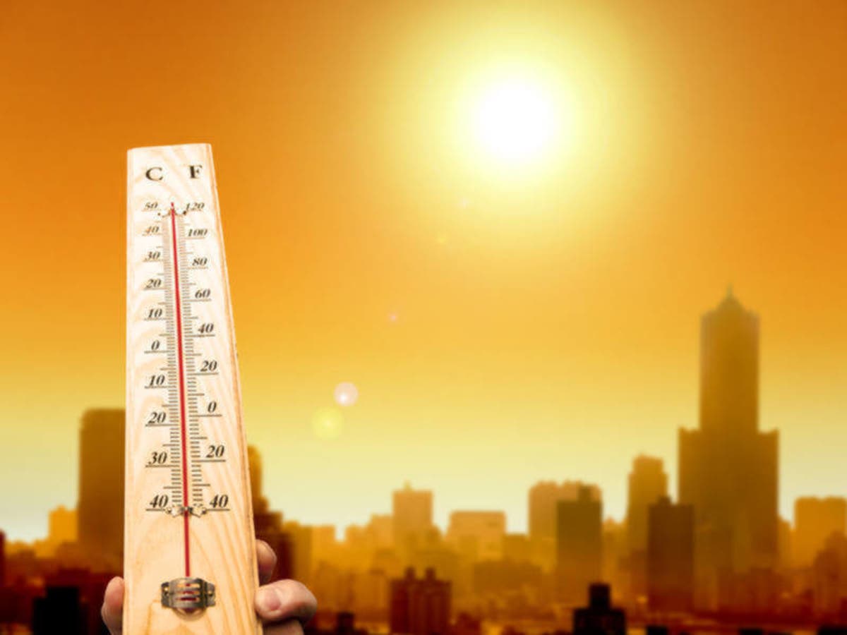
Dangerous heat is coming back to eastern PA with a roar. Here's the timeline for when the worst of it will hit the area on Tuesday.

Dangerous heat has roared back into the pictured in Pennsylvania, just when it seemed like things might be cooling down a little bit.
The National Weather Service has issued a heat advisory from noon on Tuesday through 8 p.m. Wednesday night, as the heat index is expected to range from 100 to 104 on Tuesday and Wednesday afternoons. Temperatures are expected to peak at around the mid 90s.
NWS warned that the heat could create a health risk, especially for elderly residents or those with any pre-existing health issues.
Find out what's happening in Norristownfor free with the latest updates from Patch.
"Try to limit outdoor activities during the hottest portion of the day. If you must be outside, take frequent breaks, wear light weight, loose-fitting clothing, and drink plenty of water," the NWS said.
School closures due to the heat have already been announced.
Find out what's happening in Norristownfor free with the latest updates from Patch.
>>High Heat Closing Philly Schools Early Tuesday, Wednesday
Philadelphia's record heat for Aug. 29 - 98 degrees in 1991 - is within striking range.
Residents are advised to drink plenty of fluids and stay in the air conditioning if possible. Those who work outside should postpone strenuous activities to early morning or evening.
Here is the forecast for the rest of the week (this does not include heat indexes):
- Monday afternoon: Mostly sunny, with a high near 92. West wind around 7 mph.
- Monday night: Partly cloudy, with a low around 77. West wind around 6 mph becoming calm in the evening.
- Tuesday: Sunny, with a high near 94. Heat index values as high as 100. Calm wind becoming southwest 5 to 9 mph in the morning. Tuesday Night Mostly clear, with a low around 77. Southwest wind 3 to 6 mph.
- Wednesday Sunny, with a high near 94. Light west wind becoming southwest 5 to 9 mph in the morning. Wednesday Night Mostly clear, with a low around 77.
- Thursday: A chance of showers and thunderstorms after 11am. Mostly sunny, with a high near 92. Chance of precipitation is 40%.
- Thursday Night: A chance of showers and thunderstorms. Mostly cloudy, with a low around 69. Chance of precipitation is 30%.
After that, some relief is on the way. Highs in the low 80s and upper 70s are forecasted heading into next weekend.
Image via Shutterstock
Get more local news delivered straight to your inbox. Sign up for free Patch newsletters and alerts.