Weather
Wet Weekend, Then Snow Possible: PA Forecast
Enjoy the warm tease, no matter how wet and miserable it may be. 'Cause that's pretty much as good as it gets for the next week or so.

Enjoy this warm tease, no matter how wet and miserable it may be. Because that's pretty much as good as it gets for the next week or so. Winter's about to come roaring back in full force, with cold air and more snow possible early next week.
Don't trade the umbrella for the scarf just yet. You can expect a generous helping of wet weather to continue Friday into Saturday. Periods of heavy rain Friday afternoon and into the evening may even cause flooding in some areas, the National Weather Service warns in a Hazardous Weather Outlook.
Once it dries up, expect temperatures to drop "quickly" through the day Saturday into Saturday night. That could make for some slick driving conditions. "Any remaining water on untreated surfaces will freeze through Saturday night," the NWS said. Drivers should use caution.
Find out what's happening in Perkiomen Valleyfor free with the latest updates from Patch.
AccuWeather says a "multi-faceted" storm is going to bring just about everything but the kitchen sink to the Northeast over the weekend. This beast will "jam a thaw, heavy rain and flooding, as well as ice, snow and a freeze-up into the northeastern United States."
Sounds lovely.
Find out what's happening in Perkiomen Valleyfor free with the latest updates from Patch.
Now, here's the fun annoying part: some accumulating snow is possible early next week.
An Alberta clipper storm could bring snow along the mid-Atlantic coast, according to AccuWeather. The specific time of the storm's arrival is not yet known.
The NWS predicts there's a chance of snow Monday night, Tuesday, and Wednesday. It's still early, but meteorologists estimate we could see anywhere from a coating to three inches.
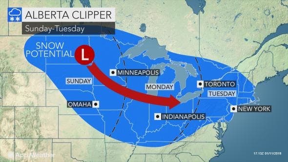
We'll have more information on that possible storm as it comes in.
In the meantime, just remember: only 67 days until spring.
Here's your local forecast:
Today: Showers and possibly a thunderstorm. High near 63. South wind 9 to 14 mph. Chance of precipitation is 100%. New rainfall amounts between a half and three quarters of an inch possible.
Tonight: Rain, mainly after 8pm. Low around 34. South wind 6 to 11 mph. Chance of precipitation is 100%. New precipitation amounts between a quarter and half of an inch possible.
Saturday: Rain likely, mainly before 10am. Mostly cloudy, with a temperature falling to around 30 by 5pm. Northwest wind around 15 mph. Chance of precipitation is 60%. New precipitation amounts of less than a tenth of an inch possible.
Saturday Night: Partly cloudy, with a low around 13. Northwest wind 11 to 15 mph.
Sunday: Sunny, with a high near 26. North wind 8 to 11 mph.
Sunday Night: Mostly clear, with a low around 13.
Monday: Mostly sunny, with a high near 30.
Monday Night: A chance of snow after 1am. Mostly cloudy, with a low around 23. Chance of precipitation is 30%.
Tuesday: A chance of snow. Mostly cloudy, with a high near 35. Chance of precipitation is 40%.
Tuesday Night: A chance of snow. Mostly cloudy, with a low around 20. Chance of precipitation is 30%.
Wednesday: A chance of snow. Mostly sunny, with a high near 28. Chance of precipitation is 30%.
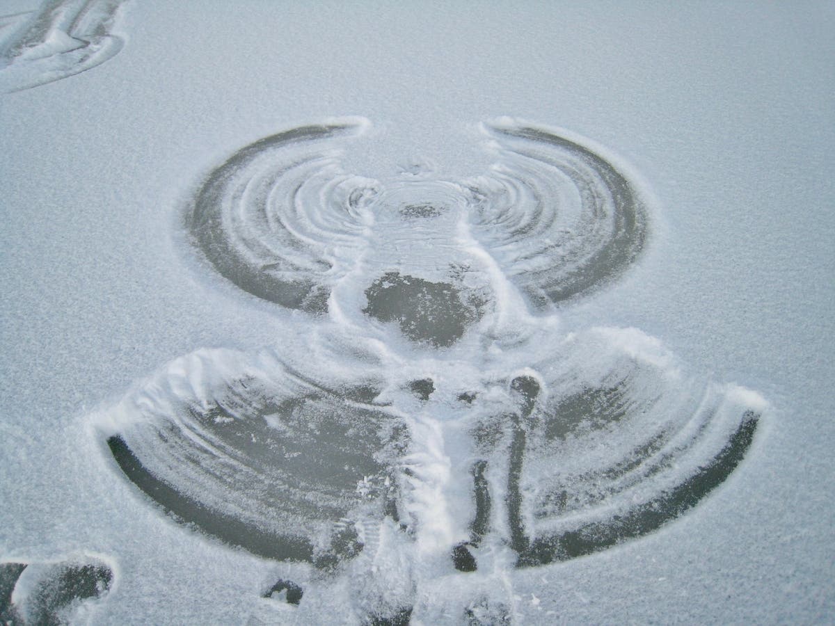
PHOTO: Pixabay
Get more local news delivered straight to your inbox. Sign up for free Patch newsletters and alerts.