Weather
PA Weather: Tornado Watch Ends, Mother's Day Storms Possible
Bad weather is still expected to come to PA. A tornado watch is in effect in 10 counties. Could it impact Mother's Day?


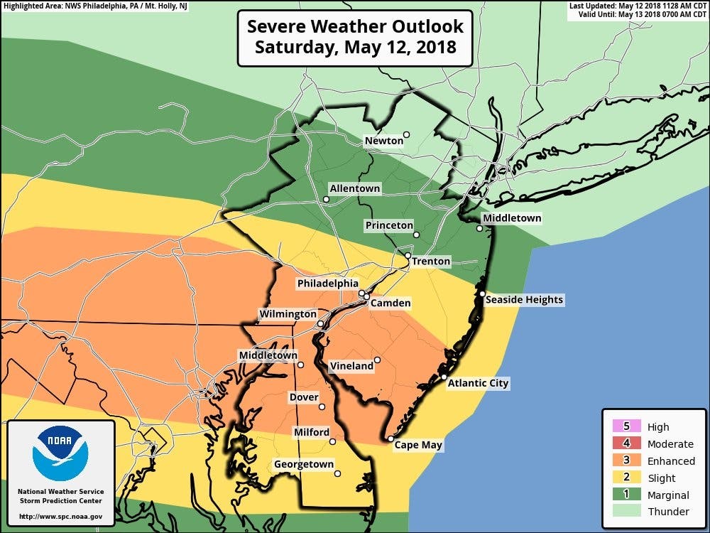
Bad weather was still expected this weekend, possibly on Mother's Day. The National Weather Service has issued a hazardous weather outlook for eastern Pennsylvania, saying thunderstorms could develop across the area.
There are several chances for showers and thunderstorms from Sunday through Friday. Heavy rainfall totals may occur by the end of the week, with the threat of localized flooding increasing with time.
People preoccupied with graduation ceremonies, weddings, cookouts and other events should be prepared for weather conditions that can change from bright and sunny to dark and stormy in a matter of minutes, according to AccuWeather.
Find out what's happening in Philadelphiafor free with the latest updates from Patch.
In addition to causing some outdoor plans to be canceled or moved indoors, the severe storms could trigger power outages and inflict property and tree damage on some communities, according to an AccuWeather release.

The prediction comes after the the threat of thunderstorms diminished in eastern Pennsylvania Saturday night, since the rough weather moved to the South.
Find out what's happening in Philadelphiafor free with the latest updates from Patch.
These storms were supposed to have the potential to produce damaging winds, large hail and heavy rainfall, which could have lead to isolated flash flooding and more widespread urban and poor drainage flooding, according to the NWS.
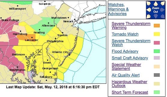
The NWS even issued a tornado watch, which has been canceled, in these counties:
- BERKS
- BUCKS
- CHESTER
- DAUPHIN
- DELAWARE
- LANCASTER
- LEBANON
- MONTGOMERY
- PHILADELPHIA
- YORK
Here were the alerted areas (tornado watch is in yellow):
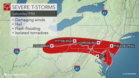
The storms were expect to especially hit hard south of Allentown. Here is what was expected:
- Thunderstorms were expected to develop Saturday afternoon. A favorable setup for severe storms will evolve late this afternoon and evening in southeastern Pennsylvania, eastern Maryland, southern New Jersey, and Delaware as these storms move eastward across the area during the 5 to 10 p.m. timeframe.
- These storms were expected to have the potential to produce damaging winds, large hail, and heavy rainfall which could lead to isolated flash flooding and more widespread urban and poor drainage flooding.
- An isolated tornado was also possible, especially for locations near the Mason-Dixon Line that lie on the southern edge of the clearing skies this afternoon. Overall, the greatest risk with these storms were damaging winds.
A severe thunderstorm warning was in effect temporarily in southern New Jersey and eastern Pennsylvania.
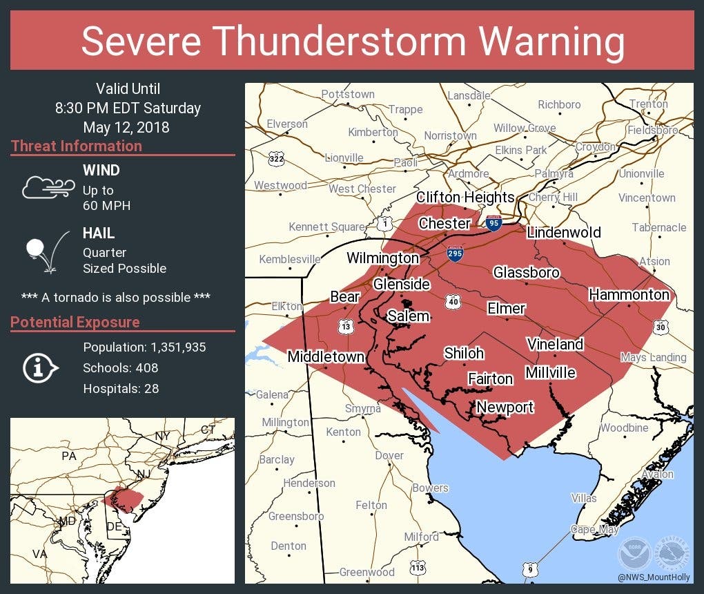
“Storms will exit southeastern Pennsylvania and move into southern New Jersey and the Delmarva this evening, bringing a continued threat for damaging winds and hail,” AccuWeather Storm Warning Meteorologist Billy Clark said in the release.
Here is the forecast:
- Sunday: Showers likely. Cloudy, with a high near 62. East wind 9 to 11 mph. Chance of precipitation is 70%. New precipitation amounts between a tenth and quarter of an inch possible.
- Sunday night: Showers likely, mainly before 2am. Cloudy, with a low around 51. East wind 3 to 8 mph. Chance of precipitation is 60%. New precipitation amounts between a tenth and quarter of an inch possible.
- Monday: A chance of showers before 8am. Mostly cloudy, with a high near 76. Light and variable wind. Chance of precipitation is 30%. New precipitation amounts of less than a tenth of an inch possible.
Photo courtesy of Granby Center in Ct.
Get more local news delivered straight to your inbox. Sign up for free Patch newsletters and alerts.