Community Corner
Use Google Maps To Plot Out Your Perkiomen Or Schuylkill River Trail Route
Google Maps has hit the trails.

Google Maps has hit the trails.
Google Maps is a great way for drivers to get a glimpse of roads across the country, but it can now also be used by hikers, bikers, runners, and trail users of all kinds.
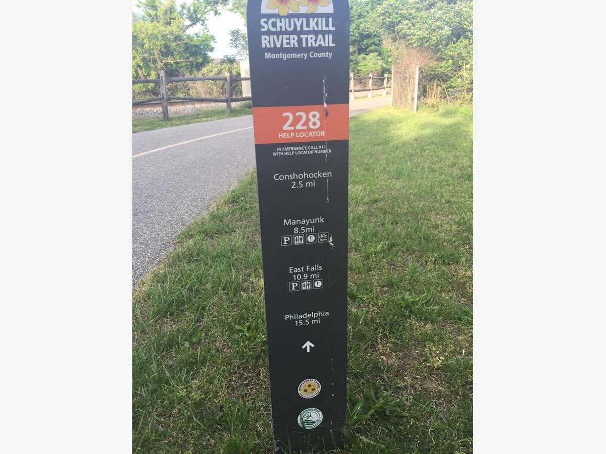
Google Maps recently mapped out the lengths of the Perkiomen Trail and Schuylkill River Trail.
Find out what's happening in Phoenixvillefor free with the latest updates from Patch.
Users can scroll through the trail from a trail user's point of view, seeing which sections are shaded, paved, and offer the best views.
Find out what's happening in Phoenixvillefor free with the latest updates from Patch.
Patch file photo
Get more local news delivered straight to your inbox. Sign up for free Patch newsletters and alerts.