Community Corner
WEATHER UPDATE: Snowfall Expected to Mix With Rain in Radnor
The wintry mix could pose travel delays during the afternoon commute around Radnor.

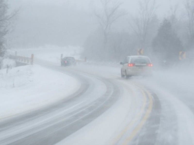
The latest reports from the National Weather Service say that Friday’s heavy snowfall will start turning to rain in the evening. No major road delays or closures have been announced, but traffic has been slow throughout the region. Expect long travel times as volume increases with the afternoon commute.
No school districts in Delaware County closed early, but West Chester University canceled Friday’s daytime and night classes.
The National Weather Service reports the following:
Find out what's happening in Radnorfor free with the latest updates from Patch.
Friday: Snow. The snow could be heavy at times. High near 33. East wind around 7 mph. Chance of precipitation is 100 percent. Total daytime snow accumulation of 3 to 5 inches possible.
Friday night: Rain and snow before midnight, then a slight chance of freezing rain between midnight and 3 a.m. The snow could be heavy at times. Patchy freezing fog after 3am. Low around 27. North wind 5 to 8 mph. Chance of precipitation is 80%. Little or no ice accumulation expected. New snow accumulation of around an inch possible.
Find out what's happening in Radnorfor free with the latest updates from Patch.
Saturday: Partly sunny, with a high near 49. Calm wind becoming southwest 5 to 9 mph in the afternoon.
Get more local news delivered straight to your inbox. Sign up for free Patch newsletters and alerts.