Crime & Safety
Up to 3 Inches of Snow Possible Saturday in Pa.
The snow will start some time after 2 p.m., the National Weather Service said.

Sometime soon, you will be able to wake up from this bad dream we call “winter.”
But not yet.
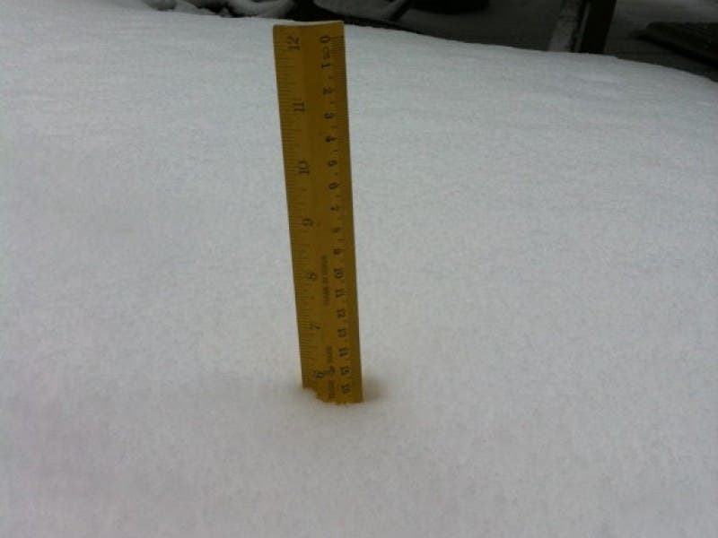
Forecasters are predicting another dose of snow over the weekend, with one to three inches of accumulation possible throughout the Philadelphia region on Saturday.
Find out what's happening in Upper Moreland-Willow Grovefor free with the latest updates from Patch.
This next storm follows days of record low temperatures that have claimed at least five lives in Montgomery County.
According to forecasters, we can expect the snow to start after 2 p.m. Saturday. It will also be cold, with wind chill values as low as -1.
Find out what's happening in Upper Moreland-Willow Grovefor free with the latest updates from Patch.
The precipitation will turn to rain overnight Sunday, the National Weather Service said. Rain may be heavy at times Saturday night into Sunday.
Here is the hour-by-hour forecast for the region:
Saturday: Snow, mainly after 2 pm. High near 32. Wind chill values as low as -1. Chance of precipitation is 80%. New snow accumulation of 1 to 3 inches possible.
Saturday Night: Snow, freezing rain, and sleet before 11 pm, then snow between 11 pm and midnight, then rain and snow showers after midnight. The rain and snow could be heavy at times. Low around 32. South wind 6 to 8 mph. Chance of precipitation is 90%. Little or no ice accumulation expected. New snow and sleet accumulation of 1 to 2 inches possible.
Sunday: Rain, possibly mixed with snow showers before 8 am, then a chance of rain. High near 40. Chance of precipitation is 90%. Little or no snow accumulation expected.
Sunday Night: A chance of rain before 8 pm. Mostly cloudy, with a low around 19. Chance of precipitation is 30%.
RELATED:
Get more local news delivered straight to your inbox. Sign up for free Patch newsletters and alerts.