Weather
RI Could See First Snowflakes Of The Season This Week
Tropical Storm Zeta may bring wet snow Thursday into Friday, with some flurries possible in the northwest corner of the state.


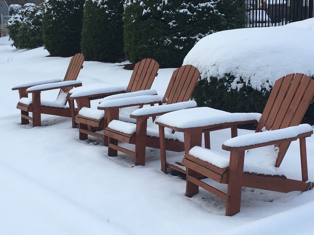
Snow — not a lot of it, but snow nonetheless — could be heading our way later this week.
Tropical Storm Zeta is moving north, and its remnants could bring some early, pre-Halloween snowfall to the northwest corner of Rhode Island. Exactly how much and where depends on the strength with which the storm comes out of the Gulf of Mexico over the next 24 hours.
The highest likelihood for snow will be in Massachusetts, where a few inches are expected in the Berkshires and in Worcester County.
Find out what's happening in Newportfor free with the latest updates from Patch.
Most of Rhode Island likely won't see any snow, though it is possible in the northernmost part of the state Thursday night into Friday morning. The rest of the state should expect ran, heavy at times, that is expected to last throughout the day Friday.
"The setup for the Northeast will involve a fresh injection of cold air as high pressure will build eastward from the Great Lakes region spanning Thursday and Friday," AccuWeather senior meteorologist Mike Doll said.
Find out what's happening in Newportfor free with the latest updates from Patch.
Snow usually isn't seen around these parts until late November, with measurable snow following in December.
Halloween will have clear skies but be chilly.
Here's a look at the latest forecast from the National Weather Service.
Tuesday
Mostly sunny, with a high near 57. North wind 7 to 9 mph.
Tuesday Night
A chance of showers, mainly after 3 a.m. Mostly cloudy, with a low around 43. Light north wind. Chance of precipitation is 30 percent.
Wednesday
A chance of showers, mainly before 11 a.m. Cloudy, then gradually becoming mostly sunny, with a high near 56. Calm wind becoming southwest 5 to 8 mph in the afternoon. Chance of precipitation is 30 percent. New precipitation amounts of less than a tenth of an inch possible.
Wednesday Night
Partly cloudy, with a low around 46. Southwest wind around 7 mph.
Thursday
Showers, mainly after 11 a.m. High near 56. Light and variable wind becoming north around 6 mph in the morning. Chance of precipitation is 90 percent.
Thursday Night
Showers. Low around 41. Northeast wind 8 to 17 mph. Chance of precipitation is 90 percent.
Friday
Showers, mainly before 1 p.m. High near 46. Breezy, with a north wind around 21 mph. Chance of precipitation is 80 percent.
Friday Night
A chance of showers before 7 p.m. Partly cloudy, with a low around 29. North wind 11 to 14 mph. Chance of precipitation is 30 percent.
Saturday
Sunny, with a high near 46. North wind 7 to 9 mph.
Saturday Night
Mostly clear, with a low around 33. West wind around 5 mph becoming light and variable.
Sunday
A chance of showers. Partly sunny, with a high near 57. Southwest wind 7 to 15 mph. Chance of precipitation is 30 percent.
Sunday Night
A chance of showers. Mostly cloudy, with a low around 40. West wind around 11 mph. Chance of precipitation is 30 percent.
Monday
Mostly sunny, with a high near 50. Northwest wind 9 to 13 mph.
Get more local news delivered straight to your inbox. Sign up for free Patch newsletters and alerts.


