Weather
RI Weather: Snow, Cold 'Warning Shot' As Polar Vortex Loosens Up
This week could be a small sample of a worsening winter to come.


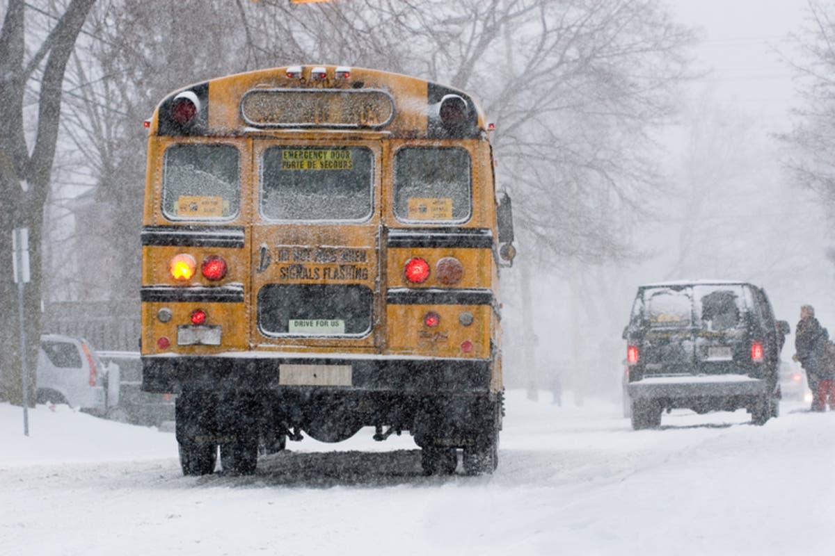
The mild winter we've had in New England could soon be coming to a close. Cold, somewhat snowy weather returns to Rhode Island this week, acting as a "warning shot" as the weakening polar vortex threatens to bring a more familiar winter.
Two bouts of snow are expected this week, the first being early Tuesday morning. Forecasters are saying to expect a coating of up to 2 inches, with the higher totals coming in Western Massachusetts. The rest of the region will awake to a dusting mixed with freezing rain, making for some hazardous road conditions during the Tuesday morning commute, the National Weather Service said. The precipitation should start shortly before sunrise.
Tuesday night into Wednesday will see the continued rain turning back into snow, the NWS said. The potential "burst" of snow could result in 3-4 inches of snow, counting the totals that will begin early Tuesday morning, but again those highest totals will be in northern and western areas of Massachusetts.
Find out what's happening in Newportfor free with the latest updates from Patch.
There is also a low possibility of a storm Sunday, but forecasters are counting on a dry, cold day for when the New England Patriots host the Los Angeles Chargers in Gillette Stadium.
Meanwhile, it will stay cold and windy throughout today. There were several communities that woke up to wind chills in the teens.
Find out what's happening in Newportfor free with the latest updates from Patch.
That could be closer to the norm in the coming weeks. AccuWeather said the weather could be a "warning shot" for late January/early February, due to the warming of the stratosphere over the North Pole. When the warming occurs, the polar vortex weakens, releasing frigid air that could be earmarked for the northeast.
"We expect some double-digit temperature departures from average for a couple of days here and there during February, based on a storm or two that may put some patches of snow down," AccuWeather Lead Long-Range Meteorologist Paul Pastelok said.
Providence-area forecast via NWS
Monday - Increasing clouds, with a high near 31. North wind 5 to 9 mph.
Monday night - A chance of snow, mainly after 5am. Cloudy, with a low around 25. Calm wind becoming southeast around 5 mph after midnight. Chance of precipitation is 30%. New snow accumulation of less than a half inch possible.
Tuesday - Rain and snow likely, becoming all rain after 8am. Cloudy, with a high near 45. South wind 6 to 9 mph. Chance of precipitation is 70%. Little or no snow accumulation expected.
Tuesday night - Rain likely, mainly between midnight and 4am. Mostly cloudy, with a low around 37. Calm wind becoming west 5 to 7 mph after midnight. Chance of precipitation is 70%. New precipitation amounts between a tenth and quarter of an inch possible.
Wednesday - A slight chance of rain before 10am, then a slight chance of rain after 5pm. Partly sunny, with a high near 45. West wind 11 to 17 mph, with gusts as high as 31 mph. Chance of precipitation is 20%.
Wednesday night - A slight chance of rain showers before 8pm, then a slight chance of snow showers between 8pm and 2am. Mostly cloudy, with a low around 30. Northwest wind 10 to 15 mph, with gusts as high as 26 mph. Chance of precipitation is 20%.
Thursday - Partly sunny, with a high near 37. Northwest wind 11 to 15 mph.
Thursday night - Partly cloudy, with a low around 16. Northwest wind 11 to 13 mph, with gusts as high as 23 mph.
Friday - Sunny, with a high near 26. Northwest wind 11 to 13 mph.
Friday night - Mostly clear, with a low around 12. Northwest wind 7 to 9 mph.
Saturday - Mostly sunny, with a high near 27. Northwest wind 3 to 6 mph.
Saturday night - Mostly cloudy, with a low around 16. Calm wind becoming northeast 5 to 7 mph after midnight.
Sunday - Partly sunny, with a high near 31. Northeast wind 11 to 13 mph.
Image via shutterstock
Get more local news delivered straight to your inbox. Sign up for free Patch newsletters and alerts.


