Weather
RI Weather: Snow Overnight Leads To Messy AM Commute
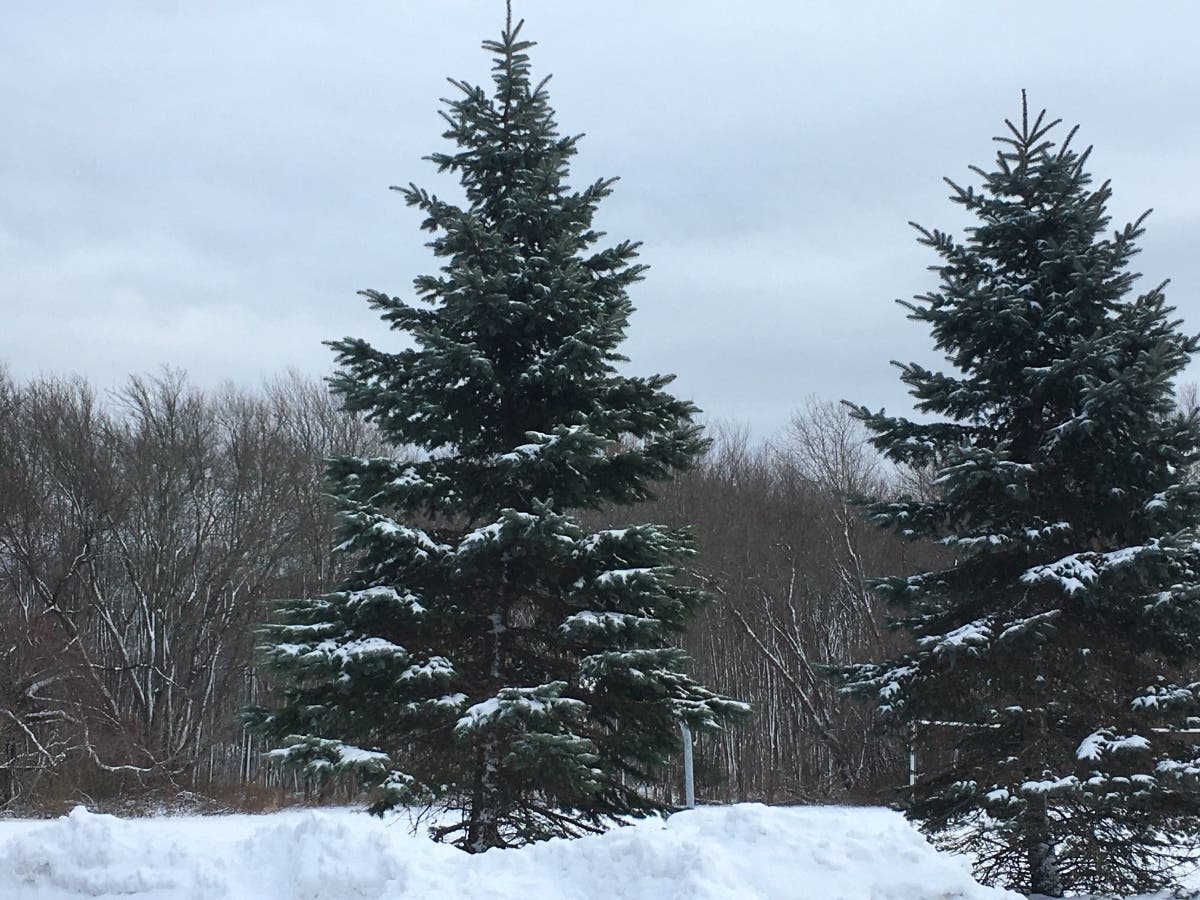
Several inches of light, fluffy snow made for a messy morning commute on Wednesday.

RHODE ISLAND — Several inches of light, fluffy snow made for a messy commute across Rhode Island on Wednesday morning, and the flakes are still flying. Despite the wintry wonderland outside, kids across the state are in classrooms, with only a handful of closings and no delays.
Across the state, more than a dozen cities and towns have parking bans in place. When it comes to schools, no delays or cancellations are listed on the Rhode Island Broadcasters website, though both Situate and Foster-Glocester have snow days on Wednesday.
Parking bans are in place on Wednesday in the following communities:
Find out what's happening in Newportfor free with the latest updates from Patch.
- Burrillville: 6 a.m. to 4 p.m.
- Cumberland: 12 a.m. until 12 p.m.
- East Greenwich: 11 p.m. Tuesday to 1 p.m. Wednesday
- Hopkington: 8 a.m. to 4 p.m.
- Middletown: 8 a.m. until 5 p.m.
- Narragansett: 12 a.m. until 3 p.m.
- North Smithfield: 12 a.m. to 12 p.m.
- Portsmouth: 6 a.m. to 3 p.m.
- Richmond/Wyoming: All day Wednesday
- South Kingstown: 12 a.m. to 3 p.m.
- Smithfield: 5 p.m. Tuesday to 5 p.m.
- West Greenwich: 12 a.m. through 3 p.m.
- Westerly: Until roads are clear
According to the National Weather Service, Northeast Rhode Island has seen the most snowfall so far, with more than three inches recorded in Chepachet.
Find out what's happening in Newportfor free with the latest updates from Patch.
Here's a look at the latest forecast for Rhode Island from the National Weather Service.
Wednesday
Snow, mainly before 11 a.m. High near 36. Northwest wind around 8 mph. Chance of precipitation is 100 percent. Total daytime snow accumulation of 1 to 3 inches possible.
Wednesday Night
Mostly clear, with a low around 21. West wind 7 to 11 mph, with gusts as high as 25 mph.
Thursday
Sunny, with a high near 32. Northwest wind 5 to 9 mph becoming calm in the afternoon.
Thursday Night
Partly cloudy, with a low around 24. Light southeast wind.
Friday
A slight chance of rain after 3 p.m. Patchy fog before 9 a.m. Otherwise, mostly cloudy, with a high near 46. Southeast wind 7 to 9 mph. Chance of precipitation is 20 percent.
Friday Night
Rain, mainly after 10 p.m. Patchy fog after 5 a.m. Low around 41. East wind 7 to 9 mph. Chance of precipitation is 90 percent.
Saturday
Rain. Patchy fog between 7 a.m. and 9 a.m. High near 55. East wind around 11 mph becoming south in the afternoon. Chance of precipitation is 90 percent.
Saturday Night
Showers likely, mainly before 7 p.m. Mostly cloudy, with a low around 40. Southwest wind around 10 mph. Chance of precipitation is 60 percent.
Sunday
Partly sunny, with a high near 46. West wind 10 to 17 mph.
Sunday Night
Partly cloudy, with a low around 29. West wind 11 to 16 mph.
Get more local news delivered straight to your inbox. Sign up for free Patch newsletters and alerts.