Weather
RI Weather: Wintry Mix To Make For Slick AM Commute On Thursday
Little to no snow accumulation is expected, but expect slick roads around the state.


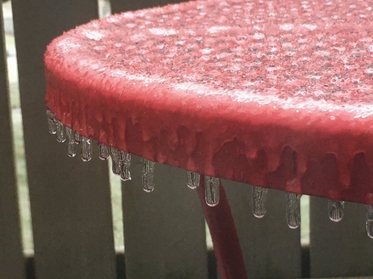
Following a relatively quiet weather week in Rhode Island, a mix of rain, snow and sleet is expected to make for a slippery morning commute on Thursday. While much of the state will see less than an inch of snow accumulation, slick roads will be likely throughout the overnight and morning hours.
"A wintry mix will overspread the region in time for the Thursday morning rush hour," The National Weather Service said. "While this does not look to be a big storm, untreated roads will likely be slippery for the Thursday morning commute especially northwest of the I-95 corridor."
Here in Rhode Island, snow and sleet is expected to start around 4 a.m. on Thursday, changing over to rain and sleet between 8 a.m. and 10 a.m. and becoming all rain for the rest of the day.
Find out what's happening in Newportfor free with the latest updates from Patch.
More rain is in the forecast for Friday morning, before skies clear later in the day.
Here's a look at the latest forecast from the National Weather Service.
Find out what's happening in Newportfor free with the latest updates from Patch.
Tuesday
A slight chance of showers between 10 a.m. and noon. Cloudy, with a high near 49. Light and variable wind becoming west 5 to 7 mph in the afternoon. Chance of precipitation is 20 percent.
Tuesday Night
A chance of showers, mainly between 10 p.m. and 4 a.m. Cloudy, with a low around 36. West wind around 6 mph. Chance of precipitation is 30 percent. New precipitation amounts of less than a tenth of an inch possible.
Wednesday
Mostly cloudy, with a high near 40. North wind 6 to 10 mph.
Wednesday Night
Snow and sleet likely before 5 a.m., then snow, freezing rain, and sleet likely. Mostly cloudy, with a low around 28. East wind around 7 mph. Chance of precipitation is 70 percent. Little or no snow and sleet accumulation expected.
Thursday
Freezing rain and sleet before 8 a.m., then rain and sleet between 8 a.m. and 10 a.m., then rain after 10 a.m. High near 42. East wind 8 to 10 mph becoming west in the afternoon. Chance of precipitation is 90 percent. Little or no sleet accumulation expected.
Thursday Night
Rain. Low around 40. West wind 5 to 7 mph. Chance of precipitation is 90 percent.
Friday
Rain, mainly before 9 a.m. High near 48. East wind 7 to 15 mph becoming west in the afternoon. Chance of precipitation is 80 percent.
Friday Night
Partly cloudy, with a low around 27. West wind 11 to 16 mph.
Saturday
Sunny, with a high near 35. West wind 7 to 10 mph.
Saturday Night
A chance of snow after 4 a.m. Partly cloudy, with a low around 24. West wind around 5 mph becoming light and variable. Chance of precipitation is 30 percent.
Sunday
A chance of rain and snow. Partly sunny, with a high near 39. Southeast wind around 7 mph. Chance of precipitation is 50 percent.
Sunday Night
Mostly cloudy, with a low around 30. North wind around 6 mph becoming west after midnight.
Related Articles:
- Stay Warm On The Go With These Handy Cold Weather Essentials
- Clever Ways To Keep Your House Warm Without Cranking Up The Heat
- Cold Weather Skincare Tips From A Dermatologist
Get more local news delivered straight to your inbox. Sign up for free Patch newsletters and alerts.


