Weather
Nashville Weather: Tornado Watch Issued (UPDATE)
The NWS in Nashville has issued a tornado watch ahead of the winter weather advisory that goes into effect at midnight.

Update: The National Weather Service in Nashville has now issued a tornado watch that is in effect until 9 p.m. Saturday.
The following counties are under the tornado watch:
Benton, Carroll, Cheatham, Chester, Clay, Crockett, Davidson, Decatur, Dickson, Dyer, Fayette, Gibson, Hardeman, Hardin, Haywood, Henderson, Henry, Hickman, Houston, Humphreys, Lake, Lauderdale, Lewis, Macon, Madison, Maury, McNairy, Montgomery, Obion, Perry, Robertson, Rutheford, Shelby, Stewart, Sumner, Tipton, Trousdale, Wayne, Weakley, Williamson, Wilson
Find out what's happening in Nashvillefor free with the latest updates from Patch.
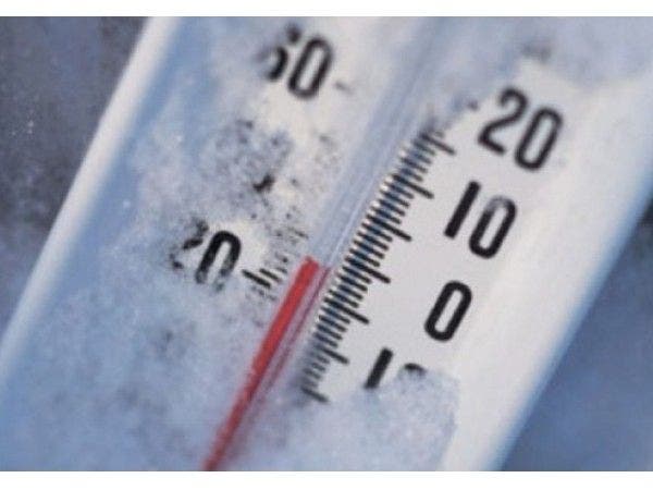
NASHVILLE, TN — The National Weather Service in Nashville has issued a winter weather advisory that goes into effect midnight Saturday and will be in place until early Sunday morning. The NWS issued the advisory for freezing rain that can cause dangerous travel conditions.
According to the alert sent out by the NWS, a tenth of an inch of freezing rain accumulation is possible on elevated and mainly cold surfaces. Some sleet accumulation is also possible.
Find out what's happening in Nashvillefor free with the latest updates from Patch.
The NWS also warns that the freezing rain and sleet could briefly change to snow in the morning with a light dusting on rooftops and mainly grassy surfaces.
While the winter weather advisory is in place, the NWS reminds drivers to use caution as the conditions will cause travel difficulties, slippery roads and limited visibility. The advisory in in place until 6 a.m. Sunday. Along with the winter weather advisory, the NWS has also issued a special weather statement warning of showers and thunderstorms with damaging winds before a cold front sweeps across middle Tennessee, leading to chances of freezing rain.
Below is an extended weather forecast for the Nashville area via the NWS:
This Afternoon
Showers and thunderstorms likely. Cloudy, with a high near 69. South wind around 15 mph, with gusts as high as 25 mph. Chance of precipitation is 60%.
Tonight
Rain showers before 3am, then freezing rain and sleet. Some thunder is also possible. Low around 28. South wind around 15 mph becoming north northwest after midnight. Winds could gust as high as 25 mph. Chance of precipitation is 100%. New ice accumulation of less than a 0.1 of an inch possible. Little or no sleet accumulation expected.
Sunday
A chance of freezing rain and sleet before noon. Cloudy, then gradually becoming mostly sunny, with a high near 30. North northwest wind 10 to 15 mph, with gusts as high as 25 mph. Chance of precipitation is 50%. Little or no sleet accumulation expected.
Sunday Night
Partly cloudy, with a low around 17. North wind around 10 mph.
Monday
Mostly sunny, with a high near 34. North northeast wind 5 to 10 mph.
Monday Night
Partly cloudy, with a low around 22. North wind around 5 mph becoming calm in the evening.
Tuesday
Mostly sunny, with a high near 45. Calm wind becoming south southwest around 5 mph.
Tuesday Night
Partly cloudy, with a low around 28. Southwest wind around 5 mph.
Wednesday
Mostly sunny, with a high near 51. South wind around 5 mph.
Wednesday Night
A 30 percent chance of showers. Mostly cloudy, with a low around 36.
Thursday
A 20 percent chance of showers. Mostly sunny, with a high near 48.
Thursday Night
Partly cloudy, with a low around 30.
Friday
Mostly sunny, with a high near 49.
Image via Shutterstock
Get more local news delivered straight to your inbox. Sign up for free Patch newsletters and alerts.