Weather
Austin Big Freeze Won't Thaw Until Thursday
In the meantime amid winter storm, medics have responded to more calls about people falling on ice all day Tuesday.

AUSTIN, TX — The Austin area won't start thawing out from the deep freeze in which it finds itself until Thursday, according to the National Weather Service.
Freezing rain descended on the area on Tuesday, with the possibility of mixed sleet before 1 p.m. Between 1 p.m. and 4 p.m., a chance of snow and sleet will emerge under cloudy skies with a high near 27 degrees. A north wind will be at around 15 miles per hour with gusts as high as 25 miles per hour, forecasters said.
The chance of precipitation remains strong at 60 percent. The total daytime ice accumulation will likely be less than 0.1 of an inch, according to NWS forecasters. Total daytime snow and sleet accumulation of less than one inch is possible, forecasters added.
Find out what's happening in Austinfor free with the latest updates from Patch.
The good news is most motorists seemed to have heeded warnings not to drive, and traffic is sparse along area roads and highways. As early as Sunday, Texas Department of Transportation treated Interstate 35 and other major arteries with a de-icing agent to mitigate ice accumulation. The strategies appear to have worked, with few accidents reported before noon on Tuesday.
Still, there have been some traffic accidents blamed on the weather conditions, Austin-Travis County EMS officials said. Of 136 incidents since 6:30 a.m. Tuesday, 18 were deemed to be weather-related. Thirteen of those incidents were collisions, medics noted.
Find out what's happening in Austinfor free with the latest updates from Patch.
CORRECTED: #ATCEMSMedics, @austinfiredept, & @Austin_Police are seeing an increase in traffic collisions since 6:30am. Limit your travel to only emergency situations. Leave your paper/mail if ice is present. Falls on ice/concrete can be deadly! #ATXWx #ATXTraffic pic.twitter.com/rzKWVQqkuV
— ATCEMS (@ATCEMS) January 16, 2018
The real uptick has been in reports of people who have fallen on sidewalks and streets as a result of the icy conditions. The uptick in such calls prompted medics to issue safety tips on how to negotiate around streets in light of the icy conditions.
#ATCEMSMedics are now seeing an increase in fall calls. We are currently on 5 fall calls around Travis County. Please use caution and only venture out if absolutely necessary! Stay tuned to our social media accounts and local media for the latest on this weather event. pic.twitter.com/TuOM22qEjq
— ATCEMS (@ATCEMS) January 16, 2018
The bitter cold wont be ending anytime soon. Tuesday night calls for mostly cloudy conditions becoming mostly clear, with a low around 20 degrees, according to the National Weather Service. A north wind of around five to 15 miles per hour will form, with gusts reaching as high as 20 miles per hour, according to forecasters.
It will start to improve by Wednesday, when it'll be sunny with a high near 38 degrees with negligible wind. Still, it will drop down below freezing by nighttime to a low of 24 degrees that day.
The thaw won't start in earnest until Thursday, when conditions will be partly sunny with a high near 44 degrees. By nightfall, chances for showers will decrease to 20 percent after 7 p.m. with a low temperature expected of 35 degrees.
The warm-up continues through the weekend, with Friday expected to be mostly cloudy with a high near 58 degrees. Friday night will be mostly cloudy with a low of around 48 degrees, while Saturday will be mostly sunny with a high near 71 degrees.
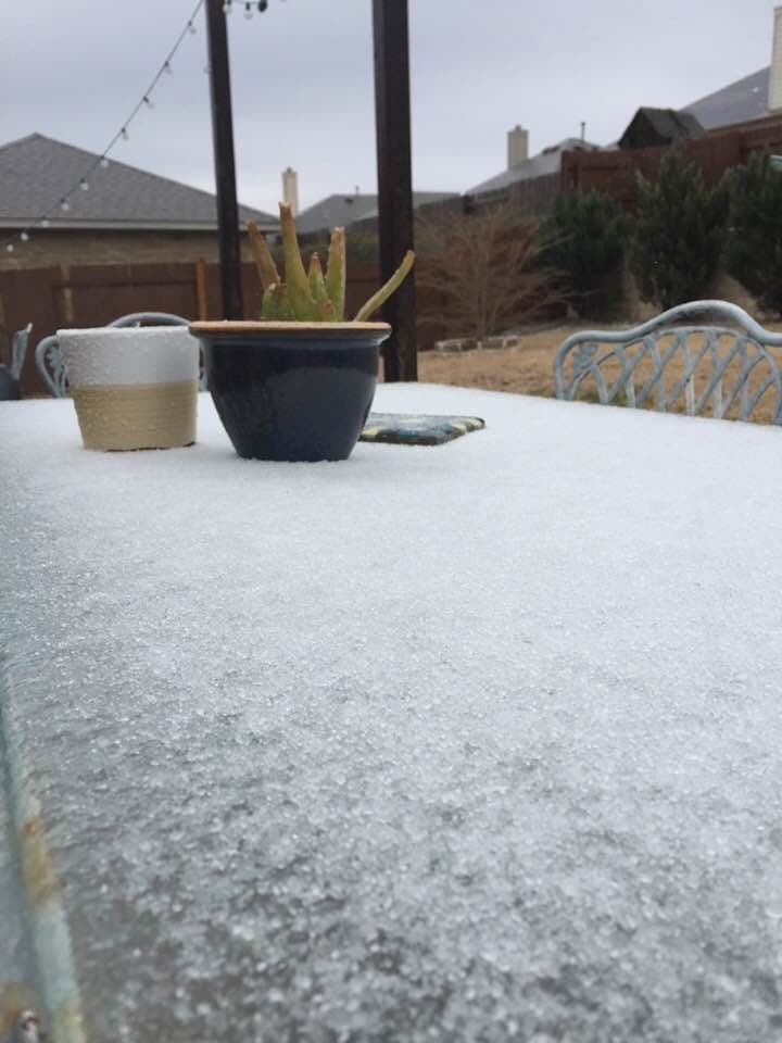
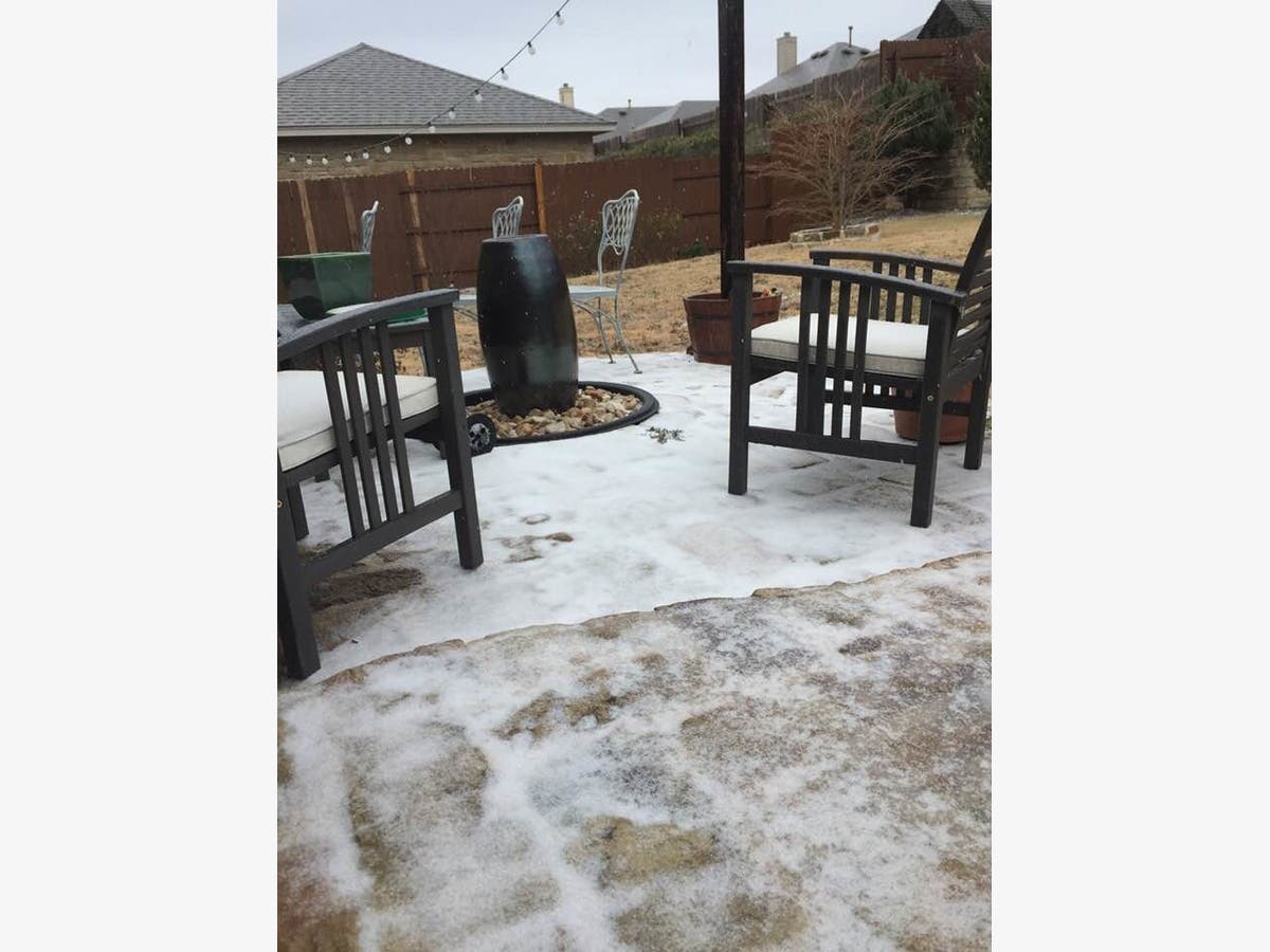
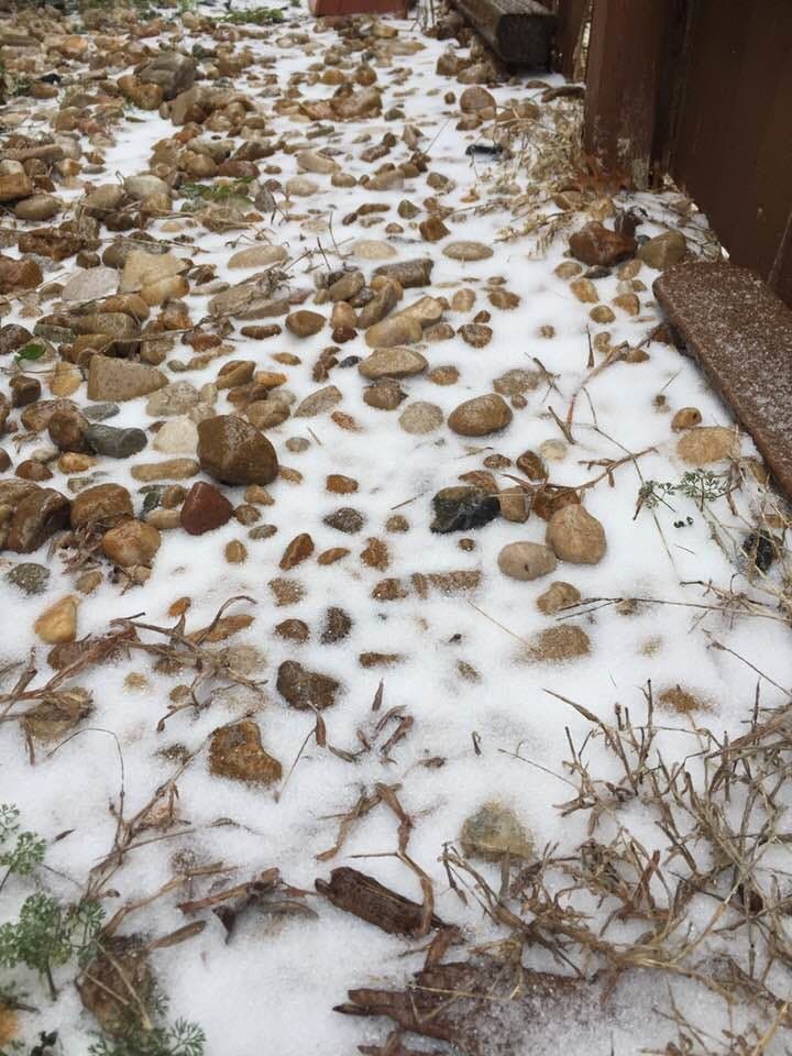
>>> Photos from North Austin by Tony Cantú
Get more local news delivered straight to your inbox. Sign up for free Patch newsletters and alerts.


