Weather
Austin Sees 35-Degree Temperature Change From Day To Night
Don't like the Texas weather? just wait five minutes. Such mercurial weather seen in Austin: 71 degrees on Monday expected to dip to 36.

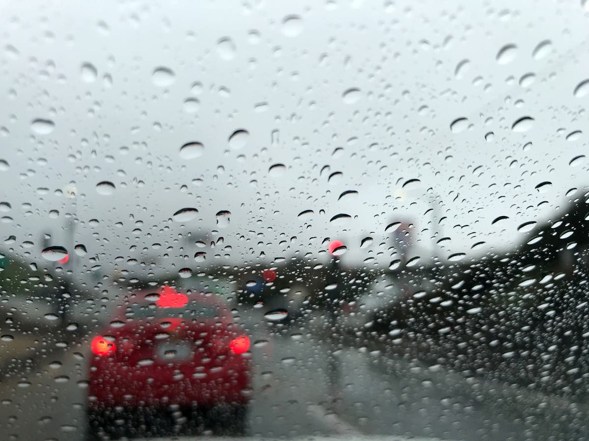
AUSTIN, TEXAS — Hope you enjoyed Monday's spring-like weather in the Austin area, but we're hoping you didn't get too used to it. Temperatures were expected to drop precipitously by nightfall, with temperatures expected to dip into the 30s.
For good measure, Mother Nature will be throwing in wind gusts reaching up to 30 miles per hour and a slight chance of showers. The times, they are a-changing after temps reached 71 degrees on Monday in Austin under clear, sunny skies.
Monday night was expected to bring a 20 percent chance of showers before 1 a.m. under mostly cloudy skies before gradually becoming clear, according to the National Weather Service. The low temperature is expected to dip down to 36 degrees, with winds staring at 15-20 miles per hour before whipping up to as high as 30 miles per hour.
Find out what's happening in Austinfor free with the latest updates from Patch.
Worry not, those susceptible to the cold or not fans of same. A warming trend will start in earnest by Tuesday. It will still be on the cool side with a high of just 49 degrees. Winds will be negligible at between 5-15 miles per hour, the NWS forecasters say.
Increasing clouds will start to form by Tuesday night, with a low temperature of 37 degrees. A nearly imperceptible wind of around 5 miles per hour will descend onto the region, becoming calm in the evening, forecasters said.
Find out what's happening in Austinfor free with the latest updates from Patch.
Wednesday will be mostly cloudy with a high near 55 degrees. And east/southeast wind will be between 5-10 miles per hour. Wednesday night will be mostly cloudy with a low of 41 degrees, according to forecasters. A south-southeast wind will be at a mere 5 miles per hour.
Another slight chance of rain is ushered in come Thursday, with a 20 percent chance of showers after 7 a.m. It's predicted to be a cloudy day, with a high near 62 degrees. The same chance of showers remains into nightfall, with a low around 52 degrees and winds blowing in from a south-southeast direction of 5 to 10 miles per hours.
That stubborn 20 percent chance of showers remains into Friday, when it will be mostly cloudy with a high near 68 degrees. South-southeast winds will blow at a velocity of a puny 5 miles per hour. A slight chance of showers is expected by nightfall, then a chance of showers and thunderstorms after 7 p.m. It will be mostly cloudy with a low of around 55 degrees. The winds will shift to an easterly direction at 5 miles per hour. Chance of precipitation will grow by Friday to 40 percent.
So what will Saturday and Sunday look like? Glad you asked, as NWS forecasters — what with their fancy weather-predicting machines and contraptions — are able to peer into that not-too-distant future:
- Saturday: A chance of showers and thunderstorms before 7 a.m., then a slight chance of showers. Mostly cloudy, with a high near 71 degrees. The chance of precipitation is 40 percent.
- Saturday night: A 20 percent chance of showers. Mostly cloudy, with a low around 57 degrees.
- Sunday: A 20 percent chance of showers. Mostly cloudy, with a high near 73. degrees.
- Sunday night: A 20 percent chance of showers. Mostly cloudy, with a low around 58 degrees.
So have that jacket handy for Tuesday, maybe a sweater by Wednesday and then go about your day on the remainder of the week with wild sartorial abandon and joie de vivre.
If you don't like the weather in Texas, it's often been said, just wait five minutes and it'll change. We sure will be seeing this aphorism manifest itself in the next few hours. It is, after all, Texas.
Get Patch's Daily Newsletters and Real Time Alerts
>>> Top photo by Renee Schiavone/Patch staff
Get more local news delivered straight to your inbox. Sign up for free Patch newsletters and alerts.


