Weather
Bundle Up Austin: Arctic Front Brings Sub-Freezing Temps
Low of 27 degrees expected tonight, and Monday will be cold with the high temperature (the HIGH temp, folks) expected to be 36 degrees.

AUSTIN, TEXAS — Old man winter isn't going away without a fight: The low on Sunday night is expected to be 27 degrees after a chilly day that achieved a high of 47 degrees, the National Weather Service reports.
Wind gusts reaching 25 degrees don't help matters for those averse to the cold, reminding all that this is, after all, winter. North wind on Sunday night will blow at around 15 miles per hour, with gusts as high as 25 miles per hour, according to forecasters.
So you know the drill on the three Ps. Cover your outdoor pipes, safeguard those plants and bring in the pets. A fourth P in the rough winter calculus should be People. If you happen to have an extra coat or blanket, give these to a homeless person if you come across one.
Find out what's happening in Austinfor free with the latest updates from Patch.
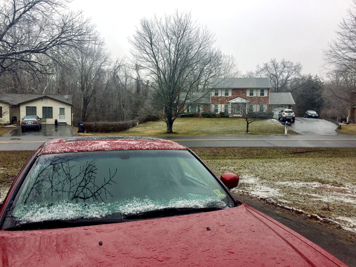
The one bright spot in all of this is that no precipitation is being forecast, which means that the roads won't likely be icy. But back to the forecast. Freezing temps will linger through Tuesday night, according to forecasters, but a warming trend will end the work week with a high of 77 degrees.
Yes, that's right: Between Monday's high of 36 degrees and Friday's forecast high of 77 degrees, we're talking about a 41-degree change. This is Texas, after all. As this was being written, the temperature in Austin registered at 43 degrees. The temperature in Amarillo near the middle of the Texas Pahhandle, the temperature at around 3:30 p.m. registered at 16 degrees (that's sixteen) with reports of light snow. By 7 p.m., Amarillo was down to 14 degrees.
Find out what's happening in Austinfor free with the latest updates from Patch.
The sudden onslaught of cold weather in the region is an arctic front that has prompted the NWS to issue a "Hazardous Weather Outlook" for a wide swath of Central and South Texas. Travis and Williamson counties are included in this outlook, along with Llano; Burnet; Val Verde; Edwards; Real; Kerr; Bandera; Gillespie; Kendall; Blanco; Hays; Bastrop; Lee; Kinney; Uvalde; Medina; Bexar; Comal; Guadalupe; Caldwell; Fayette; Maverick; Zavala; Frio; Atascosa; Wilson; Karnes; Gonzales; De Witt; Lavaca; and Dimmit.
Forecasters also warned of patchy, dense fog that had the effect of reducing visibility to 1/4-mile or less possible on Sunday morning. Low temperatures during this freezing period are expected to be in the mid 20s across the Hill Country and Central Texas, and upper 20s to low 30s elsewhere, forecasters said.
"Portions of the Hill Country and Central Texas could see nine to 15 hours of freezing temperatures each overnightvperiod during this time," forecasters wrote. "Also, breezy north winds will make it feel much colder. Wind chill values on these nights and mornings could drop into the teens across the region."
So, have a nice week? What does one say in such instances? Does Miss Manners cover this? Anyway, here's the rest of the forecast from the National Weather Service:
- Monday night: Mostly cloudy, then gradually becoming mostly clear, with a low around 26. North wind 5 to 10 miles per hour.
- Tuesday: Mostly sunny, with a high near 47. North wind 5 to 15 miles per hour.
- Tuesday night: Partly cloudy, with a low around 31. North northeast wind 5 to 10 miles per hour.
- Wednesday: Partly sunny, with a high near 53. Northeast wind around 5 miles per hour, becoming south southeast in the afternoon.
- Wednesday night: Mostly cloudy, with a low around 45. South wind around 5 miles per hour.
- Thursday: Mostly cloudy, with a high near 67. South wind 5 to 15 miles per hour
- Thursday night: Mostly cloudy, with a low around 59.
- Friday: Mostly cloudy, with a high near 77.
- Friday night: A 30 percent chance of showers. Mostly cloudy, with a low around 62.
Get more local news delivered straight to your inbox. Sign up for free Patch newsletters and alerts.


