Traffic & Transit
Know Your SXSW Street Closures (Map Below)
Festival won't start popping in earnest until March 11, but streets will be closed off as early as Friday, March 8. Closure map below.

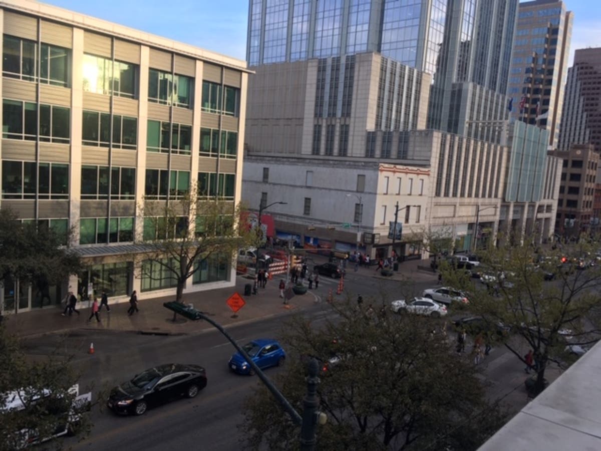
AUSTIN, TEXAS — SXSW is upon us once more. Friday, March 8, marked the kickoff to the massive festival, for which a number of downtown Austin streets will be closed to accommodate the huge gathering.
The Downtown Austin Alliance has helpfully created a map to illustrate all of the street closures during the festival that runs until March 17. The festival tentatively starts on Friday, but really gets going on March 11.
Motorists — particularly those who work and/or live downtown — are advised to know ahead of time which streets will be closed to accommodate festival attendees. Knowing ahead of time which streets are closed can save you headaches and frustration by taking alternative routes to reach your destination.
Find out what's happening in Austinfor free with the latest updates from Patch.
Click here to view map of streets closed to accommodate SXSW, courtesy of the folks at Downtown Austin Alliance.
In addition to the closure map, residents might want to check out City Stage, the city’s branded events site, which provides an interactive map where residents can zero in out travel information by date and date. Also at the site are Capital Metro routes, special routes, and stops, and locations of Austin B-Cycle kiosks for those predisposed to ditch the car entirely during this time of year.
Find out what's happening in Austinfor free with the latest updates from Patch.
Happy traveling, locals.
Get more local news delivered straight to your inbox. Sign up for free Patch newsletters and alerts.