Weather
Not A Typo: 'Cold Front' Headed To Austin Region This Week
Chance of storms could bring temperatures down to more normal summer levels rather than interminable triple-digit heat experienced of late.

AUSTIN, TX — The term 'cold front' is largely relative, more so when referenced in the midst of a Texas summer. But we'll take it.
Forecasters are employing the term in predicting imminent weather this week, particularly Monday and Tuesday when a chance of thunderstorms emerges. Those chances are an anemic 40 percent but, again, we'll take it. That storm formation will bring this so-called "cold front" to the region, which merely means — for the purposes of context in the throes of a two-week streak of nearly soul-sucking triple-digit heat — that temps will fall back down to normal summer levels.
By "normal," forecasters mean 95 or so. That's neither cold nor what one might traditionally think of as a cold front. But, again: We'll take it.
Find out what's happening in Austinfor free with the latest updates from Patch.
According to the National Weather Service, Monday will be (surprise, surprise) "sunny and hot," with a high near 103 degrees. The wind will be unforgivably negligible yet again, blowing at the annoyingly snail-like pace of 5 miles per hour.
"You call this a cold front?!?!" you might be asking, with understandable and justifiable anger. No, it's not. But wait: By Monday night, a 40 percent chance of showers and thunderstorms will figure in the mix under mostly cloudy skies.
Find out what's happening in Austinfor free with the latest updates from Patch.
As a result, the low temperature will be (brace yourself) 75 degrees! Southeast winds will be 5 miles per hour, but could become northeast winds after midnight that could reach 10 miles per hour!
That's not all: On Tuesday, the 40 percent chance of showers and thunderstorms continues! Forecasters say it will be partly sunny with a high near 95! The heat index values could make that feel like 99 degrees, forecasters say!
A heat index of 99 degrees doesn't sound all that appealing, but if you consider the ones we've had of late with temperatures in the triple digits, it's a welcome change. We'll take it.
Tuesday night will be partly cloudy with a low of around 73 degrees, with east/northeast winds of about 5 miles per hour.
Here's what the forecast calls for in the remaining portion of the week, according to the National Weather Service:
- Wednesday: Sunny and hot, with a high near 99. Northeast wind around 5 mph. Wednesday night to be mostly clear, with a low around 73. East northeast wind around 5 mph becoming south after midnight.
- Thursday: Sunny and hot, with a high near 99. South wind around 5 mph becoming east southeast in the afternoon. Thursday night partly cloudy, with a low around 74. East wind 5 to 10 mph becoming south after midnight.
- Friday: Mostly sunny and hot, with a high near 99 with Friday night mostly clear, with a low around 76.
- Saturday: Sunny and hot, with a high near 97. Saturday night will be partly cloudy, with a low around 76.
So, at least for now — after some two weeks of triple-digit heat and nary a drop of rain in the region for some three weeks — it would appear that our long, municipal nightmare is over. At least for now, anyway. Of course, we still have August with which to contend. Sorry.
Get Patch's Daily Newsletters and Real Time Alerts
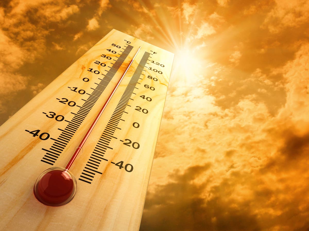
>>> Image via Shutterstock
Get more local news delivered straight to your inbox. Sign up for free Patch newsletters and alerts.