Weather
Saturday Rain Falling On Austin Expected To Linger Through Monday
After weeks of brutal heat with nary a drop of rain, thunderstorms thankfully descended on Austin but literally rained on massive parade.

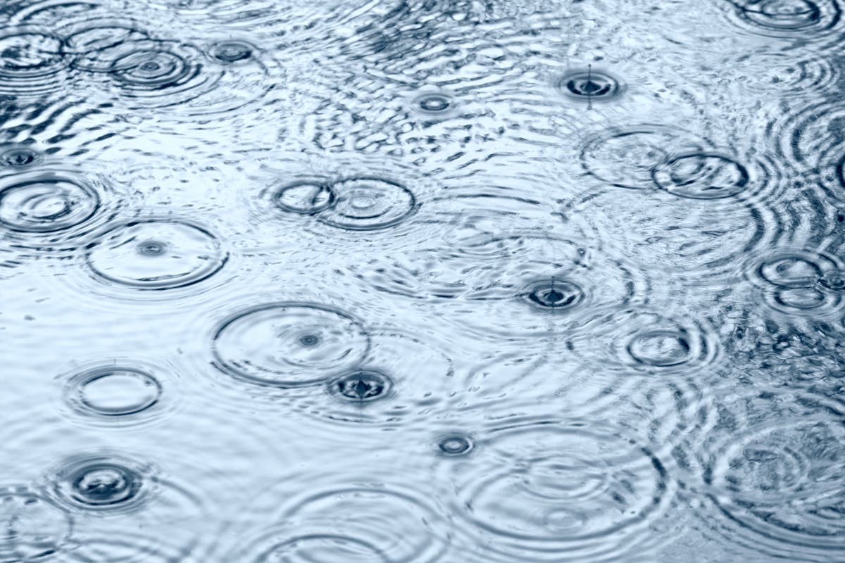
AUSTIN, TX — At long last, after about a month without substantial rain, thunderstorms descended on the Austin area Saturday with life-sustaining, cooler-weather-inducing celestial liquid. Unfortunately, the long-hoped-for precipitation dampened major social events taking place this weekend.
The predicted rain started coming down in earnest early Saturday evening. A 50 percent chance of the wet stuff had been predicted by the National Weather Service. But who listens to weather predictions anymore? Well, meteorologists are often right as Saturday's downpour attested, and we might want to pay attention to their forecasts from here on out.
NWS meteorologists are saying the Austin area will get up to one-quarter of an inch by the time it's all done on Saturday, but higher amounts could be in the offing amid areas experiencing more potent thunderstorms that could develop. The rain had a much-needed cooling effect on the region, with a temperature of 75 degrees registered just past 6 p.m.
Find out what's happening in Austinfor free with the latest updates from Patch.
Seventy-five degrees?!?! After triple-digit heat in the recent past weeks that fell to the comparatively cool high 90s (it's all relative in Central Texas), that implausibly low reading was a welcome development.
But the rain literally rained on some people's parade. The rains came amid Austin Pride 2018 — a massive celebration of gay pride happening through Sunday for which a 6 p.m. parade was scheduled at Fiesta Gardens on the penultimate day today of a week-long celebration. Organizers had predicted attendance of up to 500,000 revelers, and many who had hoped to attend the festivities took to social media to rail against Mother Nature or otherwise lament the climactic development.
Find out what's happening in Austinfor free with the latest updates from Patch.
Needless to say, the ATX Pride parade had been widely anticipated by many. After ebbing somewhat, the sustained rainfall in Central Austin was suddenly bolstered as if getting its second wind.
TONIGHT 8/11 - REVOLUTION Austin Pride Parade: We'll be riding with pride and hope to see YOU there! Join us for a Transit Adventure to the parade. Get the deets: https://t.co/Q3GVxaBl4M And check out our 2018 design: pic.twitter.com/VH2cxWbx0v
— Capital Metro (@CapMetroATX) August 11, 2018
The planned parade route encompassed a wide swath of downtown Austin real estate, with several roads closed to traffic to accommodate the procession:
EVENT ROAD CLOSURE #ATXTraffic: (Contingent on weather) Austin Pride Parade, Saturday, August 11, 8-10 p.m., Capitol area, https://t.co/AcD1O1sccT pic.twitter.com/mpxc0cniSi
— ATX Transportation (@austinmobility) August 11, 2018
That 50 percent chance of showers and thunderstorms is expected to continue through Saturday night, forecasters say, when it will be mostly cloudy, with a low around 75. South southeast wind will be between five and 10 miles per hour.
On Sunday, more showers and thunderstorms likely, mainly after 8 a.m. — with a 60 percent chance of added precipitation, according to forecasters. It'll be mostly cloudy, with a high near 92 degrees, the NWS says, with heat index values as high as 98 degrees. Winds will blow from a southerly direction between five miles per hour and 10 miles per hour, forecasters added. New rainfall amounts between a tenth and quarter of an inch are to be expected, except for higher amounts possible in thunderstorms.
Sunday night will bring much of the same, with a 60 percent chance of precipitation remaining. Showers and thunderstorms are likely, mainly before 8 p.m., NWS forecasters predict. The evening will be mostly cloudy, with a low around 77. South/southeast winds will be between five miles per hour to 10 miles per hour. New rainfall amounts between a quarter and half of an inch are possible.
It's always advisable to watch for low-water crossings as one drives, particularly after sustained periods of drought-like conditions as we've experienced lately when the water dissipates widely across terrain rather than being quickly absorbed into the soil. Visit the ATXfloods website for a list of closed water crossings, and don't attempt to cross them, please.
The chances for more rain diminish by Monday, and are expected to completely dissipate by Tuesday. Here's the rest of the forecast for Austin from the National Weather Service:
Monday: A 40 percent chance of showers and thunderstorms, mainly before 8 a.m. Mostly cloudy, with a high near 95. Heat index values as high as 100. South wind 5 to 15 mph. Monday night calls for a 20 percent chance of showers and thunderstorms before 8pm. Partly cloudy, with a low around 75. South southeast wind 10 to 15 mph.
Tuesday: Partly sunny, with a high near 96. South wind 10 to 15 mph. By nightfall, it will be partly cloudy, with a low around 75. South southeast wind around 10 mph.
Wednesday: Mostly sunny and hot, with a high near 97. South wind around 10 mph. Wednesday night is expected to be mostly clear, with a low around 76. South southeast wind around 10 mph.
Thursday: Sunny and hot, with a high near 98, and Thursday night mostly clear, with a low around 76.
Friday: Sunny and hot, with a high near 98. Friday night will be mostly clear, with a low around 76.
Saturday: Sunny and hot, with a high near 99.
>>> Image via Shutterstock
Get more local news delivered straight to your inbox. Sign up for free Patch newsletters and alerts.


