Weather
More Austin-Area Severe Storms Expected Sunday (Updated)
Much of Central Texas was hit hard by fast-moving thunderstorms on Saturday afternoon, and forecasters say there's more in store.

AUSTIN, TEXAS — The Austin region was hit hard by heavy downpours Saturday afternoon before the thunderstorms dissipated by early evening. However, the National Weather Service predicts more storms come nightfall that will extend into Sunday.
Earlier, forecasters issued a tornado watch that, thankfully, didn't materialize into actual tornadic activity. By late afternoon, the skies over Austin had cleared for the most part as the heavier rains descended in intermittent sheets early afternoon. A tornado and, later, flash flood watch expired by later in the afternoon as the storms swept past.
But not everyone went unscathed. A car collision along the 14100 block of North State Highway 45 left two patients hurt — a man and woman in their 60s — at the height of the storms. According to Travis County EMS medics, the male victim was found unconscious with life-threatening injuries while the woman sustained serious, potentially life threatening injuries.
Find out what's happening in Austinfor free with the latest updates from Patch.
Both traffic accident victims were transported to Round Rock Medical Center for treatment of their injuries. The incident prompted medics to plead for drivers to decelerate when traveling amid rain: "Slow down and expect heavy traffic delays in the area!" medics wrote on Twitter.
FINAL: Vehicle collision at ~14100 block of N SH 45 W EB; 2 patients txpt'd to RRMC, a ~60's, reported unconscious Male w/critical life-threatening inj's & a ~60's Female w/serious, potentially life-threatening inj's. Slow down & Expect heavy traffic delays in the area!
— ATCEMS (@ATCEMS) April 6, 2019
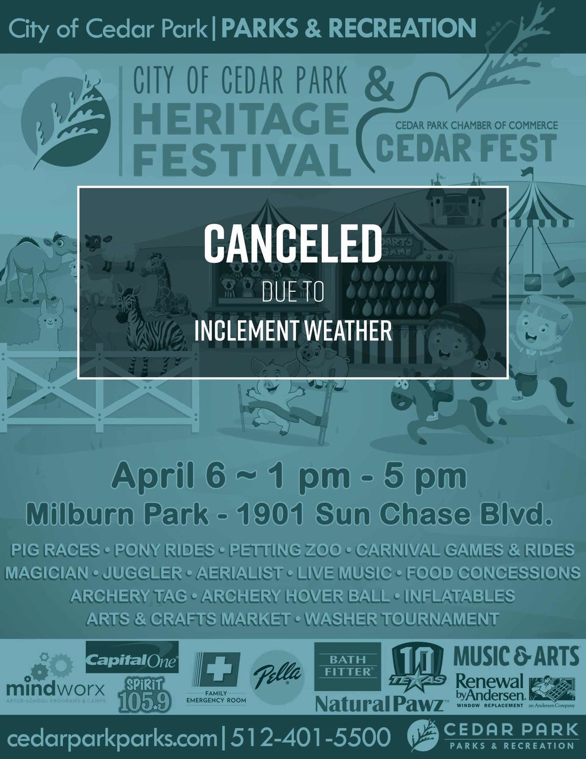
In Cedar Park, the highly anticipated Heritage Festival was canceled as a result of the weather. The event had been scheduled from 1 p.m. to 5 p.m. in Milburn Park, 1901 Sun Chase Blvd. The annual family-friendly Cedar Park Heritage Festival features live music, inflatables, pony rides, carnival games, a petting zoo and much more.
Find out what's happening in Austinfor free with the latest updates from Patch.
The brunt of the storm has since moved to the Houston-Shreveport area, and appears to have become fortified. Storm chasers early evening were reporting baseball-sized hail in the region after predictions of the pellets of frozen rain for the Austin region failed to materialize.
423PM FYI @NWSShreveport @NWSHouston seeing several other reports of baseball+ size hail in town. https://t.co/wHODmQ8UJx
— Texas Storm Chasers (@TxStormChasers) April 6, 2019
The tornado watch that expired for the Austin region earlier is now being issued for the Houstonregion and surrounding areas. The National Weather Service on Saturday evening issued a tornado watch is in effect for for Brazos, Burleson, Grimes Polk, San Jacinto, Walker and Washington counties until 10 p.m. Saturday. Residents there were being told to expect up to three inches of rain with storms expected to continue into Sunday night. Making matters worse, a dense fog advisory was in effect along the Matagorda and Galveston Bay coast, weather officials said.
Yet even after the deluge in Central Texas, more showers and thunderstorms were being predicted for Saturday night, mainly before 8 p.m. Some of the storms could be severe while producing heavy rainfall, weather officials added, with the chance at 90 percent for such conditions to develop.
New rainfall amounts for Saturday night are predicted at between a tenth and quarter inch, with higher amounts possible amid thunderstorms, officials said.
Additional showers and thunderstorms are likely into Sunday, mainly after 8 a.m. Some of the storms could be severe and produce heavy rainfall, forecasters predicted. The National Weather Service said Sunday's showers are expected to be isolated to scattered showers with thunderstorms expected across most of the region. A few strong to possibly severe storms will be possible for areas generally east of the Burnet to San Antonio line, weather officials said.
Sunday will be mostly cloudy, with a high near 75 degrees. While the chance of precipitation will have dropped to 70 percent by Sunday, new rainfall amounts between three quarters and one inch are possible.
Sunday night also is expected to be rainy, with showers and thunderstorms likely, mainly before 8 p.m. Some of the storms could produce heavy rainfall, according to the National Weather Service It's expected to be partly cloudy on Sunday night, with a low around 59. North-northeast wind of around 5 miles per hour will linger, with the chance of precipitation at 60 percent.
By Monday, conditions will have cleared. It's expected to be sunny, with a high near 84 degrees. Monday night calls for clear conditions with a low of around 59 degrees.
Should more severe thunderstorms develop into Sunday as predicted, motorists are highly urged to avoid low-water crossings. Even after Saturday's rains stopped, 54 such crossings remained closed by early evening, with access to traffic cut off. Drivers are urged to visit ATXfloods.com when it rains heavily in checking for risky areas to avoid.
From earlier:
AUSTIN, TEXAS — The National Weather Service has issued a tornado watch for the Austin area as severe thunderstorms sweep through the region.
The watch extends well into East Texas, weather officials said. Severe weather earlire in the day that moved into the western portions of the county prompted weather officials to issue a warning.
Residents can expect several inches of rain from the downpour. Caution while driving is strongly urged, as is avoidance of low-water crossings.
Get more local news delivered straight to your inbox. Sign up for free Patch newsletters and alerts.


