Politics & Government
Council Seeks To Remove Pre-Desegregation 'Pflugerville Colored Addition' Locator Still On Some City Maps
Name refers to land parcel once set aside for cotton field and ice factory workers not allowed to live among whites.

PFLUGERVILLE, TX -- City officials plan to discuss removing the notation “Pflugerville Colored Addition” still used on some official city maps to denote the particular sections of town in which black cotton field workers were allowed to live in the early 20th century.
The move to remove the outdated -- and, at worst, racially offensive -- reference comes in the wake of a prominent resident’s recent complaint about its continued usage on city maps well into the 21st century.
“In this day and age, up by St. Mary’s Baptist Church, this still is labeled 'Pflugerville Colored Addition,' ” Rudy Metayer told council members on March 22. “That’s deplorable, that’s disgusting and shocking to says least.”
Find out what's happening in North Austin-Pflugervillefor free with the latest updates from Patch.
Metayer (who is African American) is a former candidate for city council who is currently vice president of the Pflugerville Fire Department board. Among his other civic contributions, Metayer also has promoted youth sports in the city he calls home.
It was in his role with the fire department where he first learned of the anachronistic label still being used for what once was a segregated part of the city. As he and his fire department colleagues discussed potential expansion of the emergency service area a couple of weeks ago, Metayer said the version of the city map with the anachronistic name was included in his formal packet of information.
Find out what's happening in North Austin-Pflugervillefor free with the latest updates from Patch.
The section in question is near FM Road 1825 in the western part of present-day Pflugerville. Before airing his concerns to council members, Metayer said he visited with current residents living in the area.
“ ’We’ve been frustrated about it, but we didn’t know what to do about it,’ ” he quoted residents as having said to him. “We didn’t think we had a voice to do anything about it.”
Metayer likened the outdated map to an Austin satirical map used recently by a municipal worker during a formal city transportation department meeting, as a joke. Called the “judgmental Austin” map, that guide provided pejorative names to various parts of the city according to residents’ perceptions of the areas.
In the satirical map -- an ill-advised visual aid for which the staffer was ultimately fired -- boundaries of fast-gentrifying East Austin were instead labeled as “Blacks resisting gentrification,” North Austin was marked as a “boring gays” zone and South Austin is re-named as “South Mexico,” among other offensive cultural re-labeling.
But the Pflugerville map is not satire, but a holdover from an ugly past.
“I don’t fault council for this,” Metayer stresseed. “In fact, I’m bringing it to your attention to work with council to get it fixed.”
Because Metayer’s comments came during the “citizens to be heard” portion of the meeting on items not posted in advance advance for the formal agenda, council members were unable to respond.
But City Manager Brandon Wade, who’s not an elected official, did react to Metayer’s comments.
“That was one of the fist things I saw when I got here, and it was very disturbing,” he said. “Attempts have been made to have it changed; staffed initiated that.”
According to city-generated information, that attempt happened nearly 40 years ago.
“In 1978, Travis County Commissioners, disturbed that the community’s official name continued to reflect its origin under legal segregation, attempted to rename the Addition to Western Addition,” the city’s website reads. “However opposition from the residents kept the county from changing the name.”
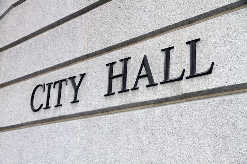
For now, Mayor Jeff Coleman seems hesitant to address the matter further until it can be discussed formally in the future. An outreach to City Hall in attempts to reach him was met with a "no comment" of sorts.
“The mayor isn’t taking calls about it, and said it will be discussed further when it goes back to City Council,” city spokeswoman Terri Toledo told Patch via an emailed response. “Right now, the city staff are working to find additional background on the name.”
Toledo added no date has been set as to when the matter will be formally discussed toward deleting the reference.
City officials haven’t shied away from presenting a true accounting of the city’s past -- warts and all. The official City of Pflugerville website provides a history of the city, including the “colored addition.” Among the section’s history detailed on the city website:
- “In 1910, black workers who worked in the Pflugerville cotton industry and ice factory were not allowed to move into the town. La Rue Noton, a farmer who owned 1,200 acres of land west of Pflugerville, set aside an acre and sold lots to the workers at fifty dollars each."
- “In April 1910, the settlement was placed in the county records as Pflugerville’s Colored Addition. The original settlers of the Colored Addition were Pet McDade, George Caldwell, Will Smith, Ned Tyson, Willie Allen and their families."
- "The community built St. Mary’s Baptist Church in 1910 and St. Matthew’s Missionary Church in 1920. St. Mary’s cemetery was started in the 1920s for the burial of African and Mexican Americans."
- "The community built an elementary school in 1928, which moved to Pflugerville when the school district desegregated in 1965."
- "In 1959, St. Mary’s Church was rebuilt on Farm Road 1825, and in 1973, St. Matthew’s Missionary Church closed."
Get more local news delivered straight to your inbox. Sign up for free Patch newsletters and alerts.