Weather
Herndon July Rainstorm: Live Feed/Updates
Stay tuned to this post for a constant feed of live updates of the storm throughout the day, including plenty of photos and video.

HERNDON, VA — A rainstorm is rolling into the D.C. area Friday afternoon and sticking around into Sunday, dropping at least a couple inches of rain and perhaps much more. Stay tuned to this post for a constant feed of live updates, photos, and video from the Herndon area throughout today and through the weekend.
UPDATE 5:12 p.m.: If you think the worst is over, unfortunately, you're probably wrong. "While some spots in the northern D.C. suburbs were drenched with anywhere from two to four inches of rain this morning, the main storm and associated energy is just beginning to approach our area," the Capital Weather Gang said in their PM update. Most of the rainfall should happen between now and Saturday morning, and that is when most of the flooding will probably occur.
Here's a look at the big picture! Rain is filling in. Expect the heaviest overnight. pic.twitter.com/hyEelYPrUx
— Capital Weather Gang (@capitalweather) July 28, 2017
UPDATE 3:44 p.m.: It's still early, but would you believe nearby Dulles Airport has only gotten 0.07 inches of rain?
Find out what's happening in Herndonfor free with the latest updates from Patch.
Check out the rainfall totals in our most recent update. They range from 0 to 5 inches in the immediate metro! https://t.co/3APfdNQIbE pic.twitter.com/ZHYEj7FFYb
— Capital Weather Gang (@capitalweather) July 28, 2017
UPDATE 2:37 p.m.: Round 2 might be coming soon:
224pm: More heavy rain is developing over Fairfax County VA, moving slowly NE over areas that had very heavy rain this AM.
— NWS DC/Baltimore (@NWS_BaltWash) July 28, 2017
UPDATE 1:17 p.m.: Reports are coming in that there has been 3+ inches of rain near Herndon already, and we're nowhere near done. Remember: Even if it's quiet now, more is on the way.
Find out what's happening in Herndonfor free with the latest updates from Patch.
Those yellow and orange colors mean 3+ inches of rain has already fallen in these locations. WOW. pic.twitter.com/kol1lf6plN
— Capital Weather Gang (@capitalweather) July 28, 2017
UPDATE 12:29 p.m.: Here's where we stand heading into the afternoon:
Heavy rain is getting more widespread. Flash flood warning outlined in blue. pic.twitter.com/qQmuLizv5s
— Capital Weather Gang (@capitalweather) July 28, 2017
UPDATE 11:53 a.m.: The previous updates applied to most of the D.C. area, but here's some more Herndon-centric information:
Due to the pending weather Friday Night Live is cancelled this evening... see you next week! @HerndonRocks https://t.co/wOVkKfRVEi
— Bill McKenna (@Bill4Herndon) July 28, 2017
A Flash Flood Warning is in effect for #Reston. If you encounter a downed tree on RA property, please contact our CSF team at 703-437-7658. pic.twitter.com/fw2WvMKwET
— Reston Association (@RestonOnline) July 28, 2017
912am: Heavy showers from Reston to Falls Church aren't moving much. Environment suggests they may stick around a while (couple hours)
— NWS DC/Baltimore (@NWS_BaltWash) July 28, 2017
Undulatus (?) out the car window near Reston this a.m. Lotta energy in the atmosphere @capitalweather pic.twitter.com/KuLd65QnJs
— Douglas H. Errett (@MrErrett) July 28, 2017
UPDATE 11:43 a.m.: A taste of what could be to come:
1140am: CoCoRAHS spotter reports 3.19 inches of #rain IN 45 MINUTES 6 miles northwest of Silver Spring MD! #flood
— NWS DC/Baltimore (@NWS_BaltWash) July 28, 2017
UPDATE 11:37 a.m.: The heaviest storms are not supposed to hit until this afternoon, but already we're seeing some significant storm action in parts of the D.C. area -- although it's mostly to the north of us right now.
Storm is just beginning but already seeing heavy rain with Flash Flood Warnings issued around DC. pic.twitter.com/1eO3krgLHD
— Aaron S (@AaronS019) July 28, 2017
UPDATE 11:22 a.m.: The storm is fast approaching: flash flood watches have been upgraded to warnings in parts of Fairfax County, as well as in southern Montgomery County in Maryland.
The National Weather Service tweeted just a few minutes ago that they were already getting some reports of water rescues, and that's before the main heavy rains hit this afternoon and into the evening.
Remember: Don't drive through flooded roads. Turn around, don't drown. In fact, it's probably best to just stay inside today if possible.
Flash Flood Warning including Alexandria VA, McLean VA, Annandale VA until 2:30 PM EDT pic.twitter.com/VXkLnsXZQk
— NWS DC/Baltimore (@NWS_BaltWash) July 28, 2017
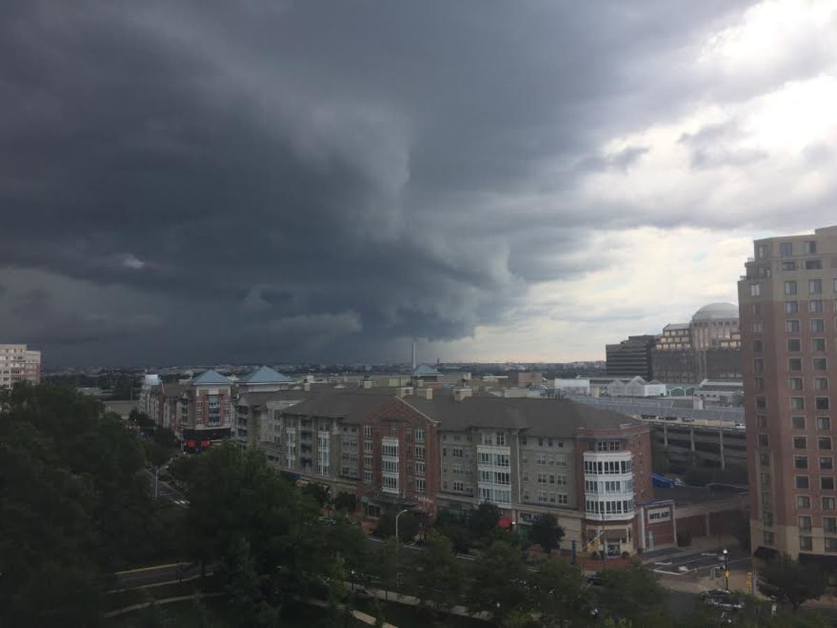
Image: Patch staff
Get more local news delivered straight to your inbox. Sign up for free Patch newsletters and alerts.