Weather
Huge Snowfall Possible In Herndon Saturday
One model is predicting a stunning 18 inches of snow this weekend, which would totally shatter the D.C. April snowfall record.

UPDATE 11:00 a.m.: Hold onto your hats, because one model is predicting an astonishing 18 inches of snow this weekend -- a figure that would absolutely shatter the record for April snowfall in D.C.
The #european #forecast model must be a @Bharper3407 because it is swinging for the fence! Taking its best shot! Going for broke! And putting out 18” of snow! Biggest #AprilSnow in DC: 5.5” Apr 1,1924. Latest inch ever Apr 12,1918. American model has 6”! #StayTuned pic.twitter.com/vovOINtnKq
— Chuck Bell (@ChuckBell4) April 4, 2018
However, there's reason to be skeptical of that figure.
Models STILL showing snow Saturday in DC. On snowfall maps, PLEASE READ the caution statement! Snowfall very likely OVERDONE on them. BE CAREFUL WITH WEATHER APPS! The most snow DC has ever received in April is 5.5" in 1924 so PLEASE understand why I'm skeptical, but watching... pic.twitter.com/z7ecql8ojg
— Mike Thomas (@MikeTFox5) April 4, 2018
Original story:
Find out what's happening in Herndonfor free with the latest updates from Patch.
HERNDON, VA -- After a bust of a winter in terms of snow, the mini-barrage of the white stuff continues this spring with a "legit" chance of snow this weekend in Herndon, according to one forecast.
The Washington Post's Capital Weather Gang believes that a cold front will send temperatures into the 40s and 30s on Friday night, meaning we could see "wet snow develop and last into Saturday afternoon."
Find out what's happening in Herndonfor free with the latest updates from Patch.
That doesn't necessarily mean we'll get accumulation, but you can't rule it out. Saturday will be a chilly one, with highs in the upper 30s and mid 40s.
So what about the rest of this week? Temperatures should be pretty mild on Tuesday and the National Weather Service is predicting a windy day in the D.C. area, with gusts up to 50 miles per hour, so don't leave anything lying around outside.
Temperatures should cool down by Thursday, warm up again on Friday, and then plunge heading into the weekend.
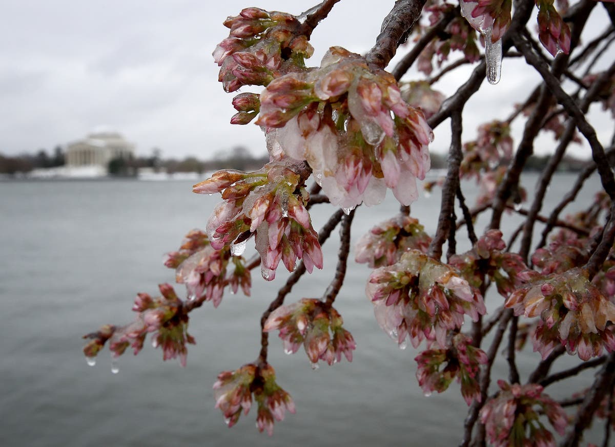
So if you're waiting on spring, it looks like it'll be at least another week. Which is strange, because the cherry blossoms are expected to be in peak bloom this week. But, that's just how this winter (and spring) has gone this year.
(Photo by Win McNamee/Getty Images)
Get more local news delivered straight to your inbox. Sign up for free Patch newsletters and alerts.