Weather
Winter Weather Advisory In Effect For Cascades Monday Night
Yes, it's May. But forecasters are predicting snowy conditions in the Cascades over the next 24 hours.

ISSAQUAH, WA - Yes, it's mid-May, but that doesn't mean winter is over yet. A winter weather advisory goes into effect at 6 p.m. Monday for the Cascades. The advisory calls for up to a foot of snow in the Cascades by Tuesday afternoon.
"An unseasonably strong and cool low pressure system will spread appreciable rain and snow into the Cascades late Monday afternoon through much of Tuesday," reads a special weather statement released by the National Weather Service. "Snow levels may fluctuate between 4,500 to 5,500 feet Monday evening, which could initially limit most snow accumulation to just the higher elevations above 5,500 feet. Colder air will arrive later Monday night into Tuesday with snow levels falling to 4,000 feet or possibly lower."
The weather advisory actually calls for snow levels down around 3,500 feet, according to the National Weather Service, which is just slightly higher than Snoqualmie Pass, which sits at 3,100 feet. The heaviest snow is expected Monday night into early Tuesday morning, but snow showers should continue throughout the day Tuesday, according to the forecast.
Find out what's happening in Sammamish-Issaquahfor free with the latest updates from Patch.
Along I-90, the forecast calls for a snow-rain mix over the next two days.
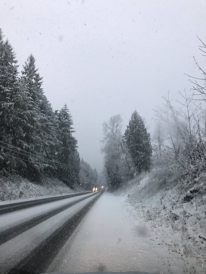
Image Patch.com file photo
Find out what's happening in Sammamish-Issaquahfor free with the latest updates from Patch.
Get more local news delivered straight to your inbox. Sign up for free Patch newsletters and alerts.