Weather
NWS: Warm Days, Clear Skies Ahead In Washington
By Monday afternoon, temperatures are forecast in the 80s and 90s throughout the lowlands.

SEATTLE, WA — Rain showers and a deep marine layer are poised to clear in western Washington, setting the table for cloudless skies and summer temperatures building through the weekend.
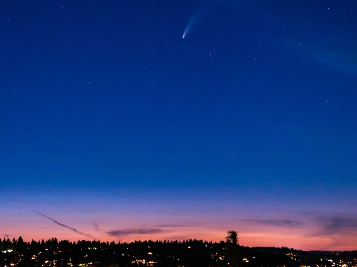
According to the National Weather Service, clouds will largely disperse in most areas by Saturday, but some evening marine layer activity will remain until Sunday — clearing up just in time for stargazers to catch a glimpse of the comet Neowise or the five planets that will be visible in the night sky.
Related: Comet Neowise: When, Where And How To See It In Washington
Find out what's happening in Seattlefor free with the latest updates from Patch.
After the coldest start to July in 15 years, the first half of next week promises to have some of the warmest days the Seattle region has seen in quite a while. Forecasters say temperatures will climb in the lowlands through the weekend, with afternoon highs in the 80s and 90s by Monday, and continuing through at least Tuesday.
Clouds and some drizzle around this morning but a warm-up is on the way! By Monday, temperatures in the lowlands will be well into the 80s with a few spots in the south hitting the 90 degree mark! Plan ahead now to beat the heat! #wawx pic.twitter.com/iP04kAmhBh
— NWS Seattle (@NWSSeattle) July 17, 2020
Find out what's happening in Seattlefor free with the latest updates from Patch.
Get more local news delivered straight to your inbox. Sign up for free Patch newsletters and alerts.
