Weather
Thanksgiving Week Weather: Latest Forecasts For Washington
Travelers should plan for potentially hazardous pass conditions Monday and Tuesday — and there is a slight chance of lowland snow.

SEATTLE, WA — According to the latest forecasts from the National Weather Service, Monday and Tuesday are the most likely days snow could impact Thanksgiving week travel. On Monday, the snow level was around 2,000 feet, with 1 to 4 inches of new snow expected in the Cascades. Monday night, snow levels were expected to lower to 1,000 feet then drop even further by Tuesday night.
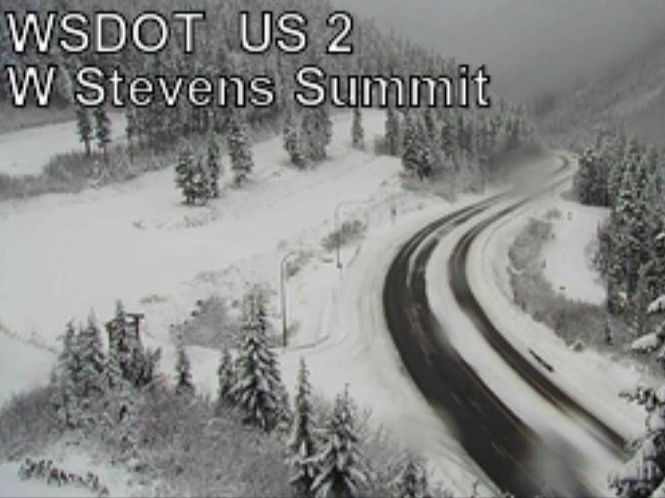
Traction tires are required on US 2 Stevens Pass and advised on I-90 @SnoqualmiePass and US 12 White Pass. Stay looped in to pass reports by checking out passes page or downloading our app: https://t.co/Eaz8Zpw1S0 pic.twitter.com/LwgP1QsWM2
— Washington State DOT (@wsdot) November 25, 2019
RELATED: Dry, Cool Weather Should Arrive In Washington Wednesday
According to NWS Seattle, a slight chance of snow is possible in lowland areas Monday and Tuesday nights, but any accumulation would likely be contained to the convergence zone in Snohomish, Skagit, and Island counties. Most could see rain or a possible rain/snow mix. After Tuesday, overnight lows drop below freezing through the week, posing a danger to homeless people and potentially creating icy road conditions.
Find out what's happening in Seattlefor free with the latest updates from Patch.
Forecasters said the weather dries out on Wednesday, but the air will get colder; high temperatures Thursday and Friday are unlikely to get out of the 30s in many towns. According to the National Weather Service, there is a chance precipitation — including snow — will return on Sunday.
Outlook Wednesday - Thursday - Friday expected just dry and cold for Western Washington. High temperatures in the upper 30s to low 40s, and nighttime lows in the 20s. #wawx
— NWS Seattle (@NWSSeattle) November 25, 2019
Find out what's happening in Seattlefor free with the latest updates from Patch.
Get more local news delivered straight to your inbox. Sign up for free Patch newsletters and alerts.
