Weather
Wisconsin Weather: Another Polar Vortex On The Way
Wisconsin's weekend warmup will stick around for a few more days, and then we get another Arctic blast, weather officials say.

MILWAUKEE, WI -- Less than a week after record-cold temperatures ground daily life to a halt in Wisconsin for a period of several days, and just days after a nearly 70-degree warmup had some Wisconsinites declaring it unofficial "shorts weather," comes news that a second polar vortex is on the way.
According to a report from the St. Paul Pioneer Press, National Weather Service meteorologist Caleb Grunzke said it's on the way, but temperatures are not expected to be quite so harsh this time around.
“It’s gonna get cold again — not as cold as it was, but cold,” noted Grunzke. "It's looking like it's going to hang around at least a while."
Find out what's happening in Brookfieldfor free with the latest updates from Patch.
Grunzke said the cold temperatures will most likely arrive sometime next week in the Midwest.
What is the 'polar vortex' anyway? #mnwx #wiwx http://t.co/IpMVi0VFS5 pic.twitter.com/wSznenlPbB
— NWS Twin Cities (@NWSTwinCities) February 21, 2015
Today
Find out what's happening in Brookfieldfor free with the latest updates from Patch.
Periods of showers, mainly before noon. Patchy fog before 11 a.m. Temperature falling to around 38 by 5 p.m. South wind 10 to 15 mph becoming west in the afternoon. Chance of precipitation is 90%. New precipitation amounts of less than a tenth of an inch possible.
Tonight
Partly cloudy, with a low around 19. Northwest wind 10 to 15 mph.
Tuesday
Increasing clouds, with a high near 27. Northeast wind around 10 mph.
Tuesday Night
Snow, freezing rain, and sleet, becoming all freezing rain after 1 a.m. Low around 25. Northeast wind around 10 mph. Chance of precipitation is 80%. New ice accumulation of less than a 0.1 of an inch possible. New snow and sleet accumulation of less than a half inch possible.
Wednesday
Cloudy, with a high near 33. Northeast wind around 10 mph.
Wednesday Night
Freezing rain likely, possibly mixed with snow and sleet before 10 p.m., then freezing rain likely, possibly mixed with sleet between 10 p.m. and 11 p.m., then freezing rain likely after 11 p.m. Cloudy, with a low around 29. Northeast wind around 10 mph. Chance of precipitation is 60%. New ice accumulation of 0.1 to 0.2 of an inch possible. New snow and sleet accumulation of less than a half inch possible.
Thursday
A chance of freezing rain before 7 a.m., then a chance of rain between 7 a.m. and 4 p.m., then a chance of freezing rain after 4 p.m. Cloudy, with a high near 36. East wind 10 to 15 mph becoming west in the afternoon. Chance of precipitation is 50%.
Thursday Night
A chance of freezing rain before 8pm, then a chance of snow and freezing rain between 8pm and 11pm, then a chance of snow after 11pm. Cloudy, with a low around 12. Northwest wind around 15 mph, with gusts as high as 25 mph. Chance of precipitation is 40%.
Friday
Partly sunny, with a high near 16.
Friday Night
Partly cloudy, with a low around 4.
Saturday
Mostly sunny, with a high near 21.
Saturday Night
Mostly cloudy, with a low around 14.
Sunday
Snow likely. Cloudy, with a high near 28. Chance of precipitation is 70%.
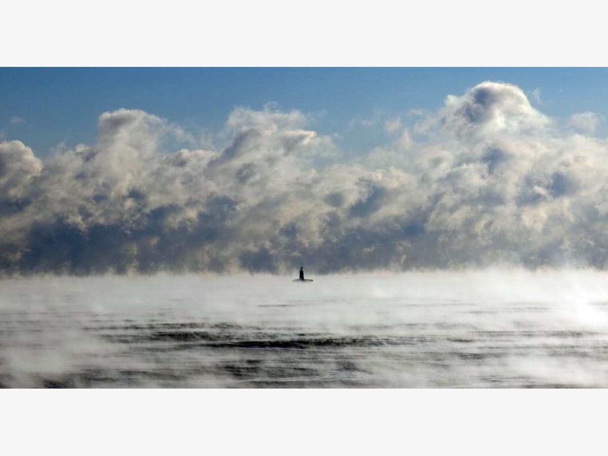
File Photo by Scott Anderson
Get more local news delivered straight to your inbox. Sign up for free Patch newsletters and alerts.