Weather
Santa Ana Winds Lash Pass Area, Storm And Cooler Weather Forecast: NWS
Wind, followed by rain, is heading towards Banning and Beaumont within the next week–your seven-day forecast.


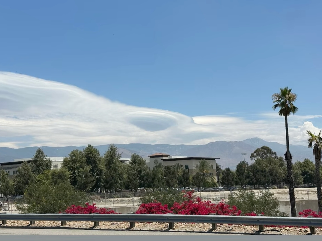
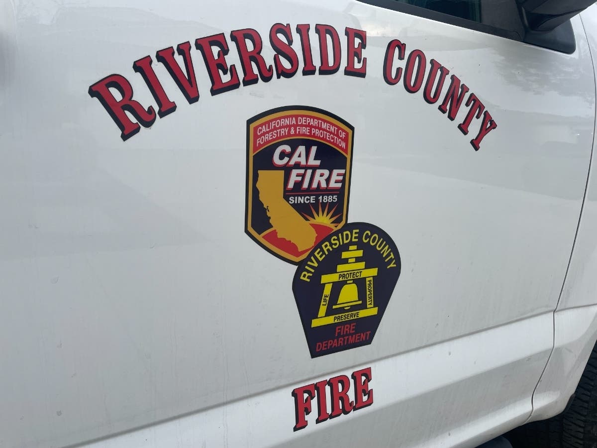
BANNING, CA — Thursday's Santa Ana winds and low relative humidity increased wildfire risks throughout the region, as evidenced by an early morning blaze in the Eastvale and Jurupa Valley areas.
The National Weather Service posted a wind advisory was in effect through 2 p.m. Thursday. Cooler weather is predicted through the weekend, and rain may be possible within a week, according to meteorologist reports.
The previous Santa Ana wind event spanned three days, beginning Halloween weekend and concluding early last week. Conditions contributed to the rapid spread of a blaze north of Aguanga that consumed nearly 2,500 acres and damaged or destroyed over a dozen structures, including three homes. On Thursday morning, a wind-whipped wildfire forced a temporary closure of the I-15 freeway near Eastvale and Jurupa Valley.
Find out what's happening in Banning-Beaumontfor free with the latest updates from Patch.
Read: 36-Acre Brush Fire Shuts Down 15 Freeway, Firefighters Remain On Scene.
According to the NWS, a surface trough of low pressure sliding into the region from the north, the source of the latest event, will spin eastward by Thursday afternoon.
Find out what's happening in Banning-Beaumontfor free with the latest updates from Patch.
The NWS said high temperatures in the Riverside metropolitan area will be in the mid-70s Thursday, with lows in the upper 40s.
In the Coachella Valley, highs will be in the upper 70s, with lows in the low 50s, while in Southwest Riverside County, highs will hover in the low 70s, with overnight temps in the mid-40s.
According to meteorologists, forecast models show wet weather arriving sometime next week:
Friday
Mostly sunny, with a high near 71. East wind 10 to 15 mph, with gusts as high as 20 mph.
Friday Night
Mostly clear, with a low around 50. East wind around 10 mph, with gusts as high as 20 mph.
Veterans Day
Sunny, with a high near 74. East wind 15 to 20 mph, with gusts as high as 30 mph.
Saturday Night
Mostly clear, with a low around 52.
Sunday
Sunny, with a high near 77.
Sunday Night
Mostly clear, with a low around 54.
Monday
Mostly sunny, with a high near 76.
Monday Night
Partly cloudy, with a low around 53.
Tuesday
Partly sunny, with a high near 75.
Tuesday Night
A slight chance of showers. Mostly cloudy, with a low around 53.
Wednesday
A chance of showers. Partly sunny, with a high near 69.
Get more local news delivered straight to your inbox. Sign up for free Patch newsletters and alerts.