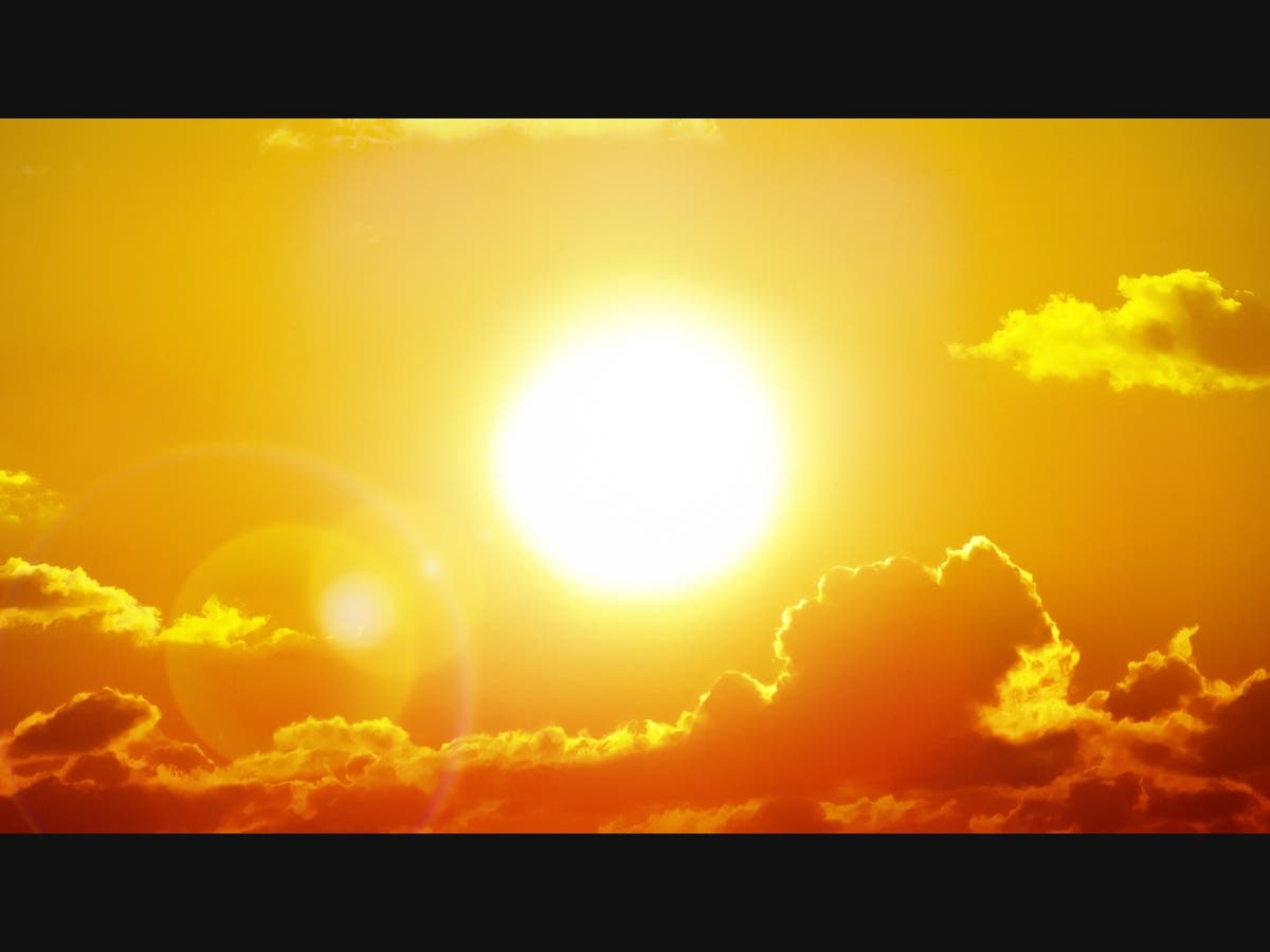
Weather
Hurricane-Force Winds, King Tides To Wallop Los Angeles County
Snow levels are expected to drop to 3,000 feet in the mountains as King Tides bring coastal flooding and wind gusts reach 80 mph per hour.


LOS ANGELES, CA — A combination of King Tides, hurricane-force winds and freezing temperatures prompted weather warnings across the Southland Wednesday.
As of 4 p.m. Wednesday, local mountains, deserts and some valleys were already clocking isolated wind gusts of more than 65 miles an hour with the conditions expected to worsen overnight and into Thursday morning when gusts are expected to reach 80 miles per hour, according to the National Weather Service.
Snow levels are also expected to drop while combining with powerful wind gusts to make mountain driving and Grapevine travel conditions treacherous.
Find out what's happening in Los Angelesfor free with the latest updates from Patch.
“There is a Winter Storm warning for the mountains with high winds combined with moderate snow — 2 to 5 inches of snow down to 3,000 feet,” National Weather Service Carol Smith Meteorologist told Patch. “I would, personally not attempt to drive over I-5 in these conditions. With the blowing snow and cold, there is potential for hazardous travel.”
Though conditions in the San Gabriel and San Bernardino mountains will be the most severe,
damaging winds could blow down large objects such as trees and power lines and power outages are possible, the weather service warned.
Find out what's happening in Los Angelesfor free with the latest updates from Patch.
Though conditions in the San Gabriel and San Bernardino mountains will be the most severe, the valleys and coasts will also experience severe wind gusts, according to the weather service. The San Fernando and San Gabriel Valleys will see gusts in excess of 60 miles an hour, while coastal towns will experience wind gusts between 40 and 50 miles per hour, Smith said.
A high surf and coastal flood advisory is in effect now through 3 p.m. Thursday. Swells of 5-8 feet are expected with surges highest on west facing beaches, added Smith.
The peak in the King Tides will occur Thursday morning with the 8:20 a.m. high tide, when the flooding risk is highest.
“We are looking at a combo of not just the King Tides but strong winds,” warned Brian Adams, National Weather Service meteorologist.
Beach communities, boardwalks and beach parking lots in low-lying areas such as Seal Beach and Laguna Beach can expect some flooding, he warned.
“Be cognizant if you are going to be traveling near the coast. It is best to turn around and avoid those because it can be deceptively deep,” he said.
The risk of sneaker waves prompted CalFire to issue a warning to residents to avoid the beach or take precautions during hazardous conditions such as this.
“We strongly encourage the public to heed the warnings issued by public officials. Just six inches of moving water is enough to cause someone to lose their footing. Let’s avoid adding to the challenges faced by first responders,” CalFire officials wrote in an Instagram post including a video of a sneaker wave that flooded a Ventura County community and injured about a dozen people.
The Roundhouse Aquarium is one of several groups offering safe opportunities to view the King Tides while helping scientists and environmentalists document the effects of rising ocean levels and global warming at the local level. The aquarium is inviting people to the Manhattan Beach Pier Friday to help document the King Tides by sharing photos with the California Coastal Commission’s California King Tides Project to document the impact on the local coastline.
"The whole point is to bring awareness to the rising sea levels," said Alejandra Cecena, Roundhouse Aquarium Senior program coordinator. "We are seeing a lot of the impacts in our neighborhoods."
Get more local news delivered straight to your inbox. Sign up for free Patch newsletters and alerts.