Weather
Weather Whiplash: 90-Degree Record Heat Expected For SoCal Followed By Cold Rain
After a brief cooldown on Monday, temperatures are expected to spike across Southern California later this week.

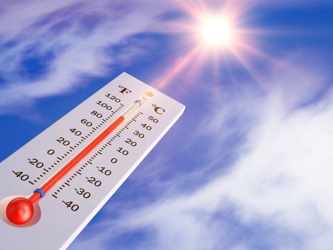
Southern California is in for some weather whiplash this week as the weekend's warmth gives way to cooler temperatures on Monday, followed by likely record-breaking temperatures into the 90s by mid week. The week will be capped off by another cool down leading to below-normal temperatures and a chance of rain next week.
The weather is expected to be cooler on Monday, though highs will still be 5 to 10 degrees above normal for this time of year. Some low clouds and fog will form overnight, but are expected to clear by mid-morning on Tuesday as another warming trend kicks off, according to the National Weather Service.
Defined by likely record-breaking temperatures and dry winds, highs across the region will increase each day from Tuesday to Wednesday. Highs are expected to be 10 to 20 degrees above normal.
Find out what's happening in Los Angelesfor free with the latest updates from Patch.
The heat is expected to peak on Wednesday, when maximum temperatures could get as high as 90 degrees in the region's warmest areas: Los Angeles and Orange counties. It's expected to be cooler in the Inland Empire and deserts.
The swing in temperatures will be dramatic with the heatwave giving way to rainy cool weather by the following Wednesday, according to Accuweather. By the middle of next week, the daytime high is expected to be nearly 30 degrees cooler.
Find out what's happening in Los Angelesfor free with the latest updates from Patch.
Another round of gusty and warm/dry #SantaAnaWinds are expected Tuesday-Thursday, with the peak being Tuesday night-Wednesday. During this peak, gusts of 30-50 mph can be expected, strongest in the San Gabriels and Santa Susanas. #LAWeather #cawx pic.twitter.com/TIMPAH7dPw
— NWS Los Angeles (@NWSLosAngeles) February 1, 2026
This weekm however, the windiest areas are expected to be in parts of Los Angeles County, including Santa Clarita, and in Ventura County. Gusts of up to 50 mph will be common in the mountains and 25 to 40 mph elsewhere in the windiest areas, though some isolated gusts of around 60 mph will be possible in the San Gabriel and Santa Monica mountains, according to forecasters.
Elsewhere in Southern California, gusts in the passes and on Orange and San Diego county coastal slopes will only peak around 25 to 30 mph.
The winds will die down and temperatures will begin to cool Thursday, with highs dropping back into the 70s across the region. That's still expected to be 5 to 10 degrees above average.
Forecasted High Temperatures
| City | Monday | Tuesday | Wednesday | Thursday |
|---|---|---|---|---|
| Cabazon | 77 | 79 | 78 | 75 |
| Carlsbad | 69 | 72 | 78 | 75 |
| Fullerton | 77 | 83 | 89 | 84 |
| Laguna Hills | 75 | 79 | 87 | 81 |
| Long Beach | 69 | 74 | 81 | 79 |
| Los Angeles | 76 | 84 | 90 | 88 |
| San Diego | 70 | 75 | 83 | 77 |
| Santa Monica | 71 | 77 | 84 | 83 |
| Temecula | 76 | 84 | 85 | 81 |
| Thousand Palms | 82 | 86 | 86 | 81 |
| Van Nuys | 79 | 82 | 86 | 85 |
Get more local news delivered straight to your inbox. Sign up for free Patch newsletters and alerts.